My son and I hiked Mt. Osceola today, but first we slept in our hammocks (yep, I bought him his own) at the Russell Pond Campground. Really nice campground that may become my “home base” for hiking the NH48. We slept really well in our hammocks with sleeping pads and bags. We each had our own bug nets, but hung the hammocks under our single rain fly.
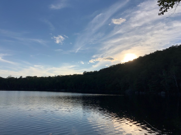
So we set off this morning, with a later start than I would have liked. We arrived at the trailhead around 8:30 and the lot was full with lots of cars parked along the road.
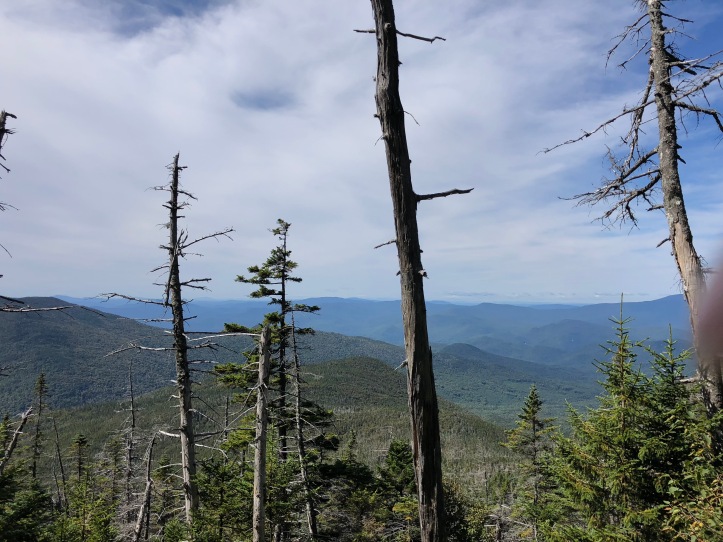
A few views along the very rocky trail.
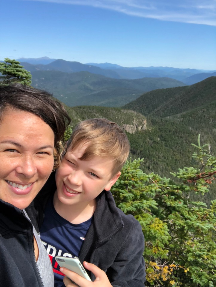
 And the views from the summit were really nice.
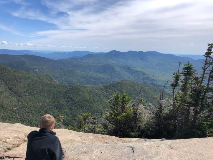
It was actually quite crowded at the summit, but we enjoyed a snack, a rest, and the views.
 I am not gonna lie, the way back down was not fun. The trail has a LOT of rocks. It wasn’t that it’s particularly hard. There weren’t any scrambles like on many trails. However, it’s a CONSTANT struggle to watch where you’re putting your foot. You have to mentally be aware of your footing at all times. And all those rocks start to take a toll on your feet as well.
We continue to be slow, but we did take several breaks. The stats…
5.8 miles (I believe the map says 6.2 and as I’m learning, the GPS apps on my phone are NOT perfect). 1,999 feet of ascent (the start at Tripoli Rd is already somewhat high up). 6 hours, 55 minutes.
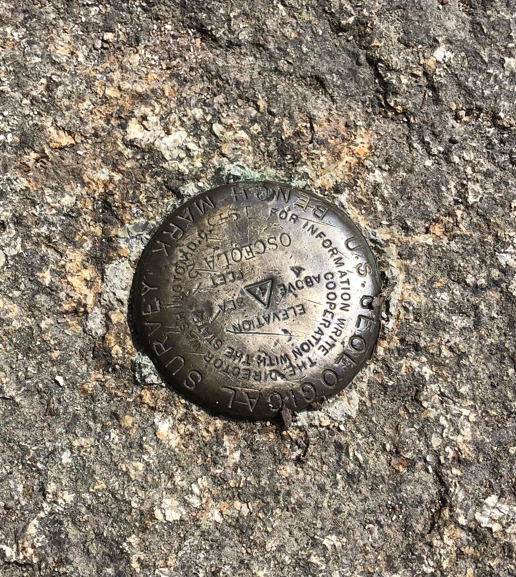
Mt. Osceola, 4,340 feet tall, #7 for me and #2 for my son.

By the look of your pictures, we might need to hike those again! We finished them in the rain and fog, so we never caught the fabulous views you did!
LikeLike
I’ve been lucky so far with weather and views. I purposefully hiked Hale in the rain, knowing it had no view. All the others have worked out to be lovely days.
LikeLike
Ooh, except Jackson! That’s one I’ll need to do again to see some nice views. 🙂
LikeLike
[…] East Osceola. Many people hike Mount Osceola and Osceola East Peak together. However, I had hiked Mt Osceola back in 2018 with my then 11-year-old son, and we weren’t up to both at that time. So that left me needing […]
LikeLike