I needed a successful, stress-free hike.
My two hikes before this were stress-filled and had quite a few unenjoyable moments, to say the least. Some things were beyond my control, however, I was making myself more miserable than I needed to be. I posted a few years ago about how I had ruined my own hike. Sadly, my last two hikes had a bit of that as well. I was focused on time, getting to the destination by a certain time or getting to the destination before forecasted weather hit. I made some dumb decisions and I certainly wasn’t enjoying myself.
So the plan was Mt. Moriah. Since my last trip was cut short, and Mt. Moriah was one of the summits that got cut, I needed to make it up. Rather than hitting Moriah at the end of my 3-day traverse and hiking out, I’d be doing an out and back. Finally, for what felt like the first time this summer, the forecast was for sun. No impending storm, no high winds, no lightning.
I parked slightly down the street from the Carter-Moriah trailhead. The trailhead is technically on private property at the end of a residential street with only a few parking spots. As I approached the trail head, there was a group of hikers standing in front of the sign, so no trailhead selfie for me.
The trail doesn’t waste any time and immediately starts off steep. A hiker past me, then immediately stopped to catch his breath, so I passed him. He did this a couple of times and finally goes “This hill ain’t no joke”. No, sir, it isn’t. 🙂
I actually passed two pairs of hikers. A rare feat for me. Of course, I’m pretty sure one pair was stopped and turning around, and the other pair were trail maintainers (slow going while they removed dead trees blocking the trail).

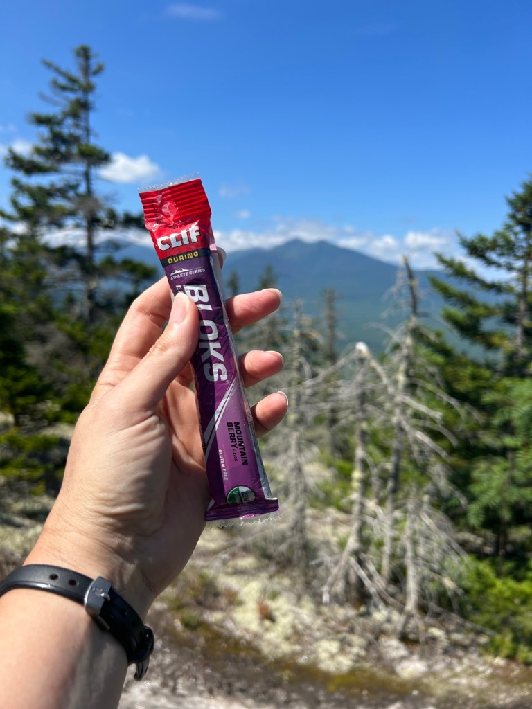
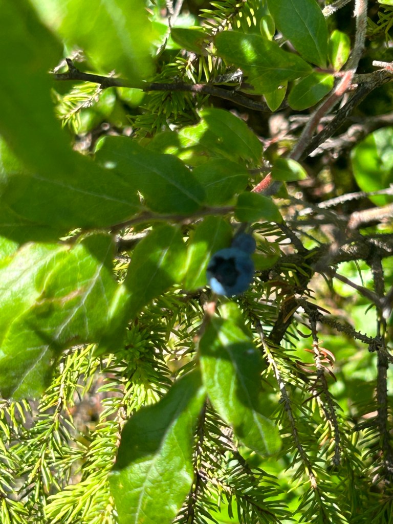

After last trip’s dehydration, I made sure to stop every hour and drink some water with electrolytes and have a snack. I started off taking pics of each snack, but apparently stopped after the third break. Ha. First pic is my starbucks breakfast sandwich that I usually eat in the car, but didn’t, so I brought it with me. Second pic is Clif bloks. I like these and definitely need to stock up for my next hike. Third pic was a snack provided by the trail, blueberries! Or as I titled this pic, blurberry, because of my awesome photography skills. The last pic is a “Dawn rock”, so named because my friend Dawn would always find the best rocks to sit on for a break. This one even had the sun pointing it out to me like a quest in a video game. I had to have a break here.
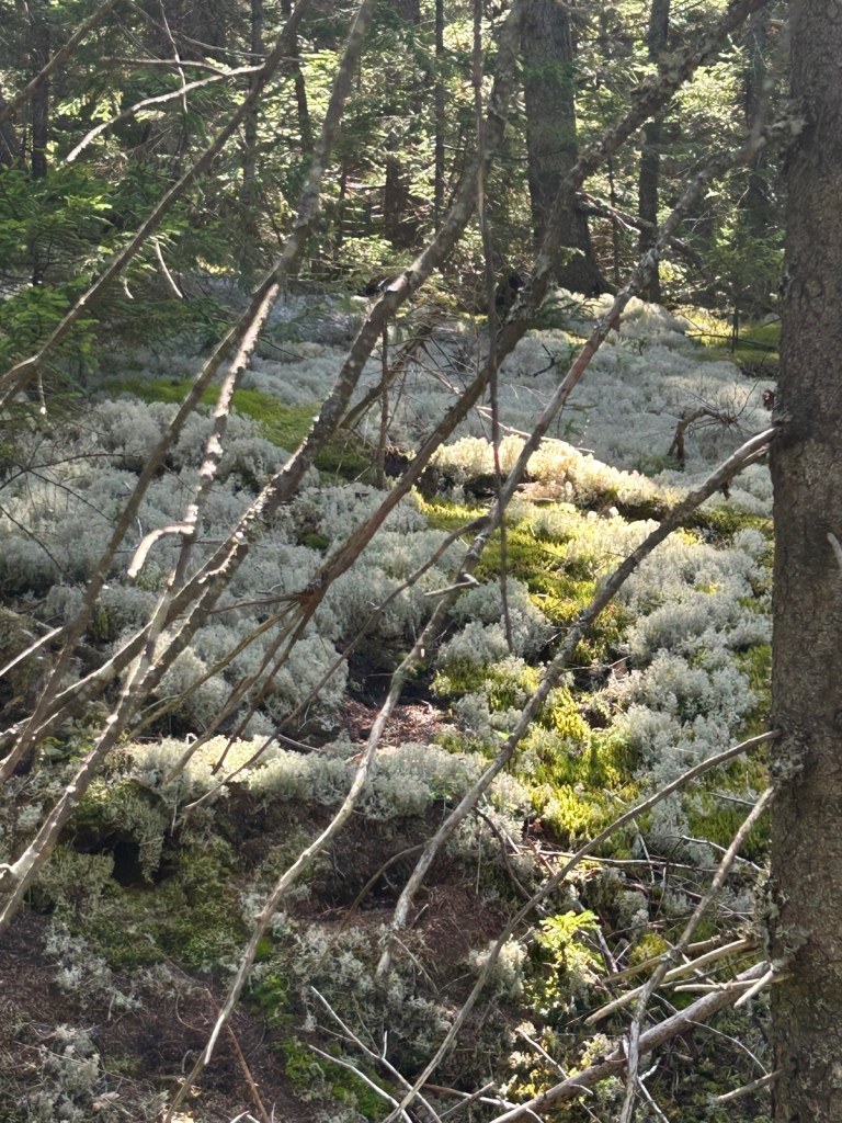
The trail had some of everything, which was tough but enjoyable. I kept thinking it was like Welch Dickey, but doubled. There would be steep sections, but then nice flat sections. Granite slabs, but also green woodsy sections.

While granite slabs normally scare me, these were steep, but do-able. They were also very textured, so I felt confident my shoes would grip. Also after conquering that stupid slab on Wildcat Ridge Trail, I kind of feel like I can do anything. (But not in a cocky way, just in a not scared way).
I was making pretty good time, while not really concerned about it, and still making sure I was taking breaks. I used, and listened to, my watch and it’s hourly alarms.

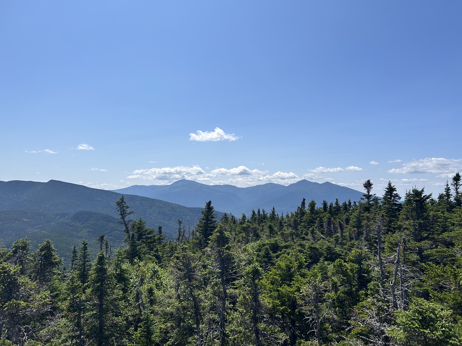
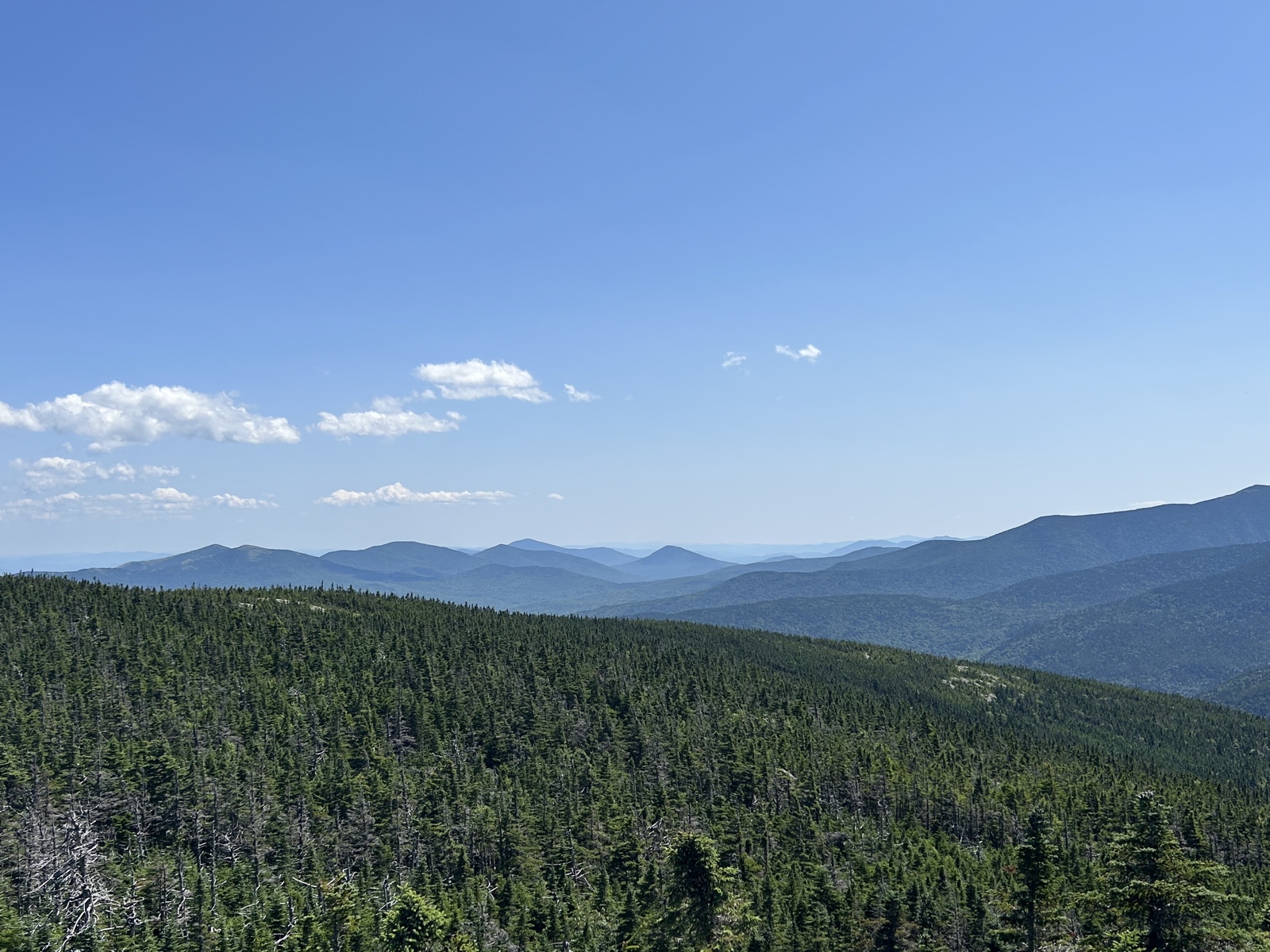
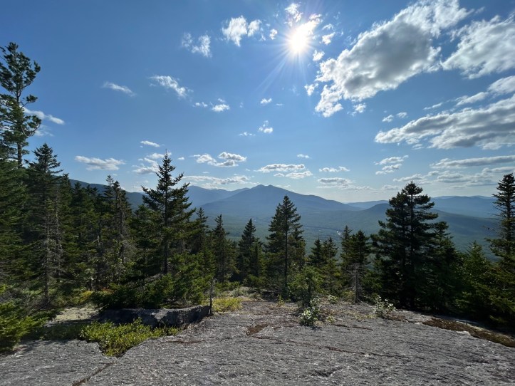
One of the views on the way up.
Side note, if you read about my last two trips, you know I had some issues with my packs. Although this was a day hike, I wanted to use my new backpacking pack to try out before my next overnight. Thanks to dehydration last trip, I figured I could weigh the pack down with water. I brought 4 liters of water with me, as well as my usual day hike stuff, and a couple extras for weight. The pack was great. It fits well, carries well. It’s the ugliest color ever, but I’ll live.
In my research of the trail, I knew there would be ups and downs (as opposed to just ascending or flats) and several false summits. I looked at the downs as a nice break on my legs, which would also be appreciated on the descent. And I mentally told myself, it isn’t the summit until you’re on the summit. Keeping an eye on my hourly alarms and how long it would take me to get there, I knew the false summits were false since I still had some time to go. Much better than thinking you’re there and realizing you aren’t even close.
Speaking of close, as I got closer, I got the inevitable “You’re almost there” from a few hikers. Did you even summit a mountain if no one told you were close?! 😀


Behind me, in the summit selfie, you can see the Presidentials. Just to the left of my head, Jefferson, Adams, and Madison. Farther left, Washington, where I hope to finish my 48. In the upper right photo, you can see some mountains, one with a V shape on it. Those are the Carters, which I have remaining as well.
I sat on the summit and ate some lunch, drank some water. Changed my socks. Let the sweat dry and brushed off the resulting salt from my arms. Reapplied bug spray and sun block. If I had gotten there *just* a bit earlier, I would have painted, but I didn’t want to stress about time getting off the mountain.
This was an out and back, so back the way I’d come…
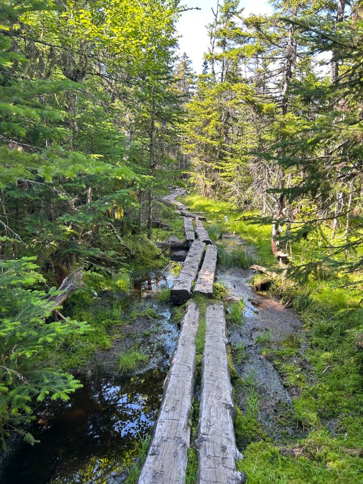
Some logs over the particularly muddy/wet/boggy spots. Amusingly, on my way up, a woman was coming down and said it was really muddy and to “stay on the sticks”. I thought she meant the bog logs. There was one really muddy area not covered by the logs and someone had laid dead branches in it to walk across. As I often do, I put my trekking pole into the mud to help me balance on the branches. My pole sunk down a third of the length! I think that’s what she meant by stay on the sticks.
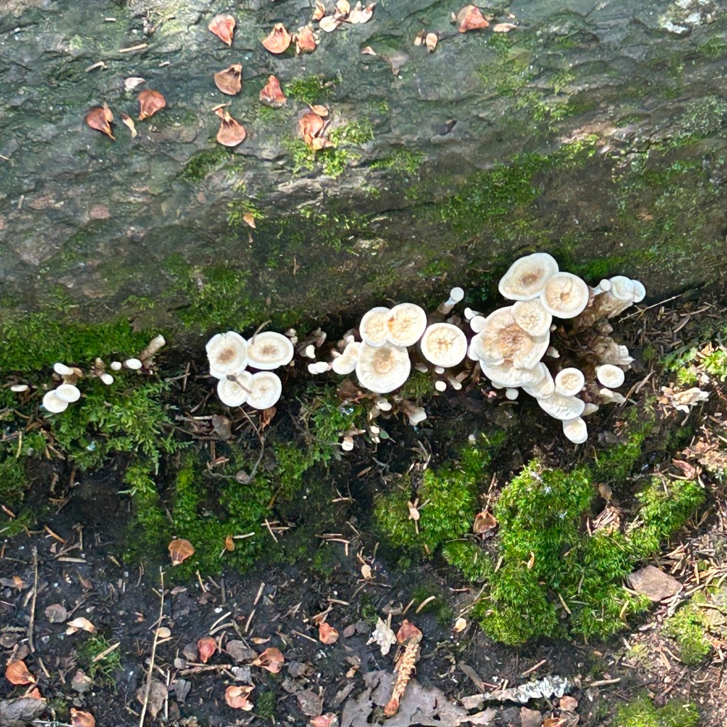
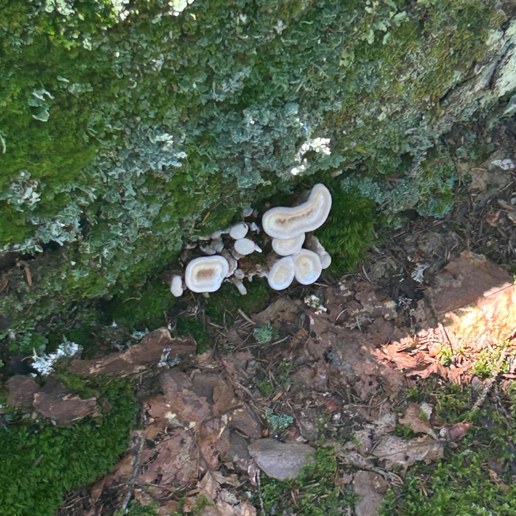


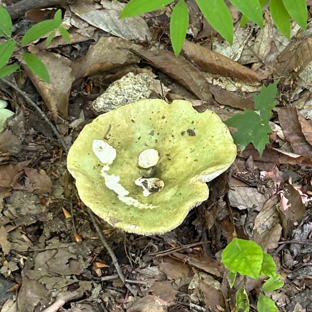

Of course with so much rain lately, there were plenty of mushrooms!
View from one of my breaks on the way down.


Another view and an official cairn. These are used to mark the trail, often where a blaze won’t be seen, as opposed to unofficial cairns that people build for the “aesthetic” and make me want to punch people.
The descent, especially on an out and back, can be very boring and tedious. I may have discovered the cure: listening to a funny audiobook and copious amounts of sour patch kids. Regardless, I was happy to be done. Don’t I look happy?

- Distance: 9 miles
- Elevation gain: 3,550 feet
- Total time: 9 hours, 25 minutes
- Moving time: 7 hours, 39 minutes
