While trying to plan a hike, I was considering Stinson Mountain. In a chat for planning a hike next month, a hiking buddy of my hiking buddy said she was hiking Stinson Mountain. Time to make my hiking buddy’s hiking buddy my hiking buddy. (Did you follow that?)
I met Susan at the trailhead around 9:15. We said 9:30 and both managed to get there early. There were already several cars parked along the road. We started up the only trail to the summit, the aptly named Stinson Mountain Trail.

It was a lovely trail. It followed along a stream for a bit. It wasn’t too rocky or steep. As I always do before a hike, I had researched the trail and made some notes. One of which is that there is a hard to find path to a lookout just before the summit. I’m glad I had read about it, because I definitely would not have gone down the path, to this viewpoint.
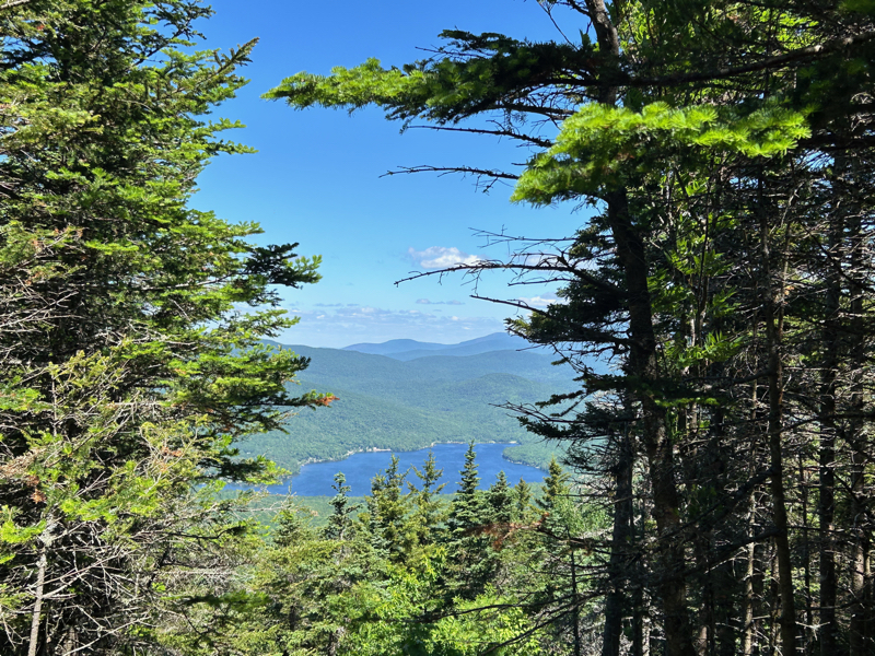
Per the guidebook, that’s Stinson Lake.
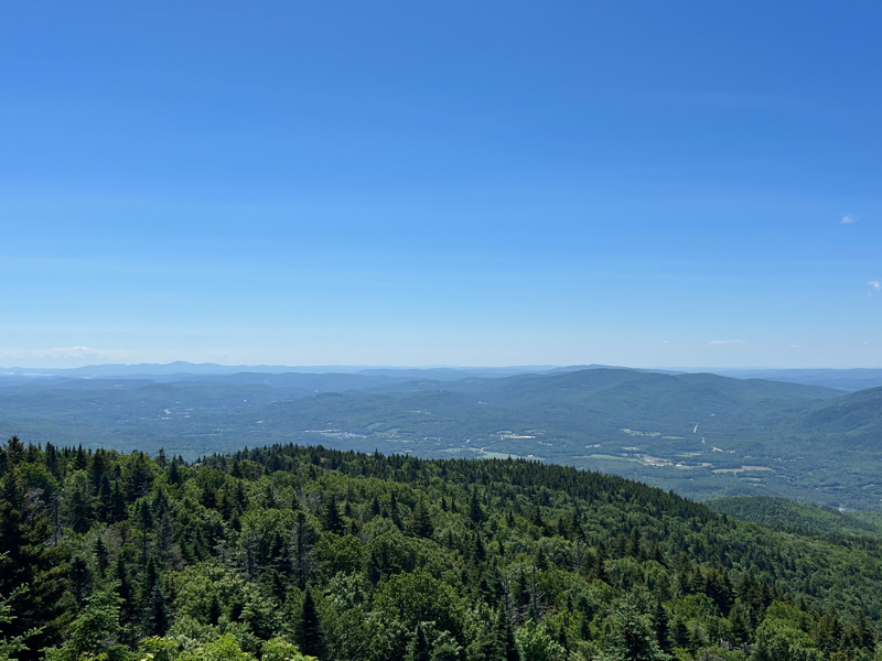
Back up to the summit and we were treated to a nice view. A few small groups of people were there, enjoying their midmorning snack.


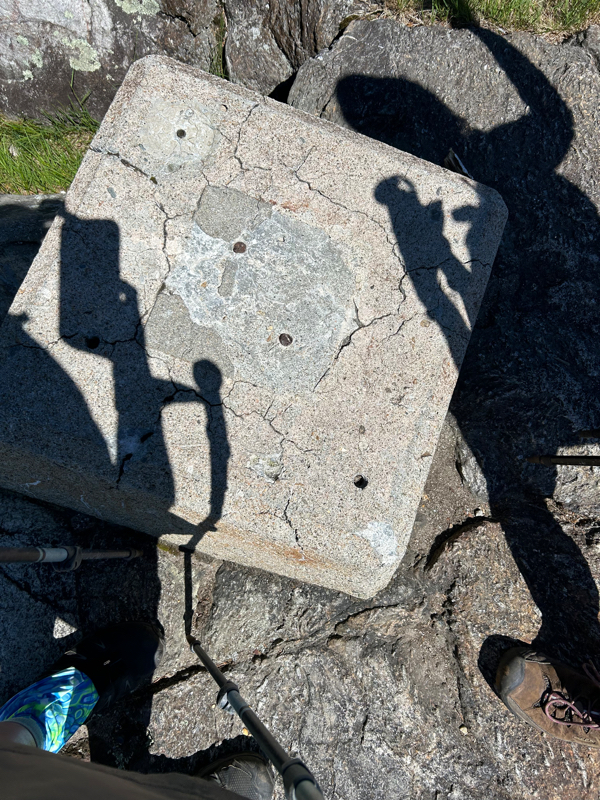
That last photo is a terrible photo of one of the fire tower footings (the fire tower was removed around 1967) at the summit.
Lots of funny stories later, and we were back at the trailhead!

This may be the only time at the end of a hike that I’ve looked at all close to how I looked at the start.
- Distance: 3.8 miles
- Elevation gain: 1,400 feet
- Total time: 3 hours, 35 minutes
- Moving time: 3 hours, 3 minutes
