Rainbow and I wanted to hike. We weren’t looking for anything crazy, and we’re both trying to finish our 52 WAV. Iron Mountain was de-listed a few years ago, but has made it back to the list, and with part of the trail re-routed. (Note: if you’re pursuing the patch, they recognize any of the mountains that were once or currently are on the list, no matter when you’ve completed them). Distance and elevation didn’t look too bad, so Iron Mountain was the pick!

Before we started, however, we had to get there. The trailhead is in Jackson and the last mile or so is an unpaved mountain road. Beware, at least at this time, there were HUGE potholes in the center of the road. I was very glad I wasn’t in my MINI. There is a small parking area about 1/4 mile before the trailhead, and another small parking area right at the trailhead. This is all private land, so if you go, please be respectful and park in designated areas.
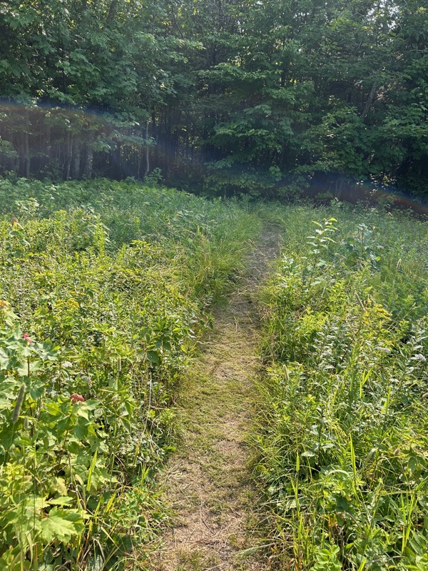
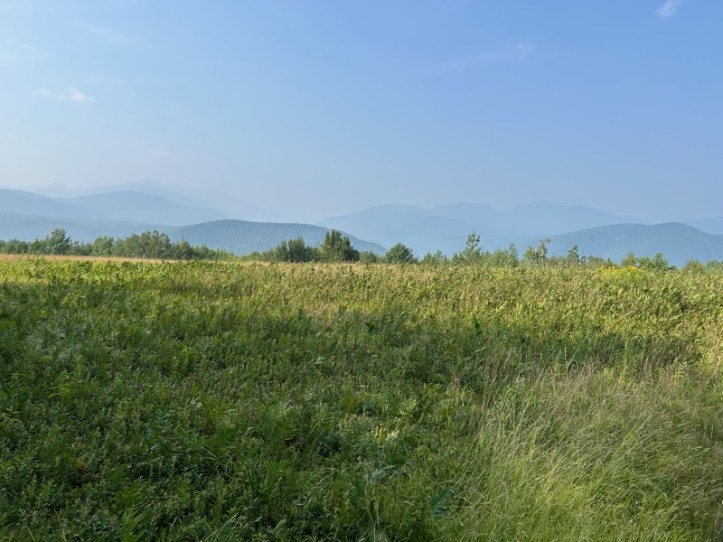
The trail starts off with this very new looking staircase, which brought you to this lovely field, and a path to the woods.


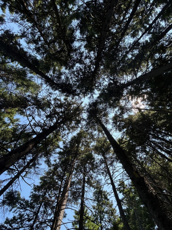
The trail is very nice, not at all the usual rocky/rooty, steep nightmare we are used to.

OK, yes, there are rocks in that picture, but compared to most NH trails, this is lovely.
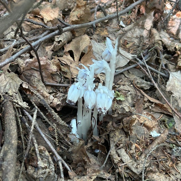
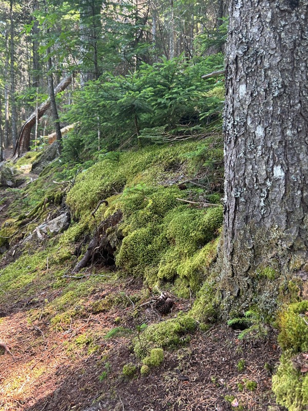

Saw a few patches of ghost pipe. Some mossy areas. And of course lots of trees.

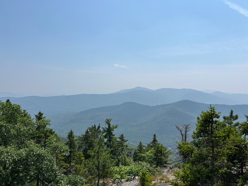
Before the summit, there is a viewpoint just off the trail to the right. You can see it is very hazy, apparently it is from wildfires in Canada.
At 1.3 miles, you come to the summit.

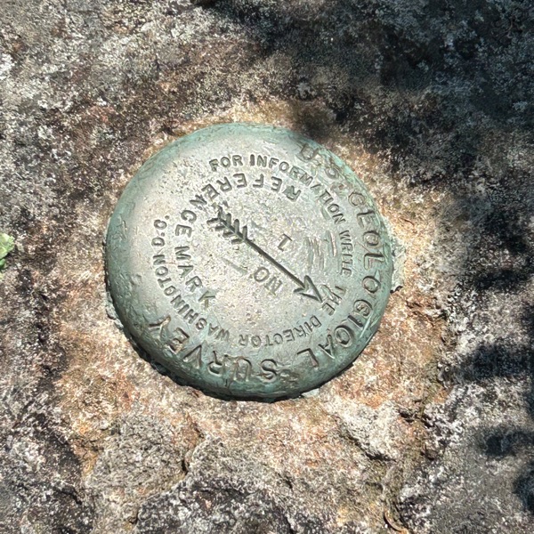

On the summit, there are the remains of an old fire tower, a geological marker, and what I assume was a large cairn at one point. As there is no view here, we continued on.


As you can see from the sign, there is an old mine and some ledges. You can see on the top of the sign, what I can only assume are some chunks of iron. We had run into a couple that said it was steep and not really worth it to go to the mine, but that the ledges were great. I was worried we’d go to the mine and it wouldn’t be that interesting, so they confirmed my thoughts, and we skipped the mine.
The trail got quite a bit steeper, and much more like a normal NH hike. There were blueberries though, so that was worth it!
On one of the steeper bits as we were descending (there’s a descent before you get to the ledges), we crossed paths with a few pairs of hikers. One woman coming UP the trail was letting me go by. I stopped to let her go, since ascending hikers have the right of way. Which is what I said. She ARGUED with me and said no, that I actually had the right of way. I replied, no, I’ve looked it up many times, she had the right of way. She had the AUDACITY to say “look it up again”. OK, fine. I will.
https://www.nps.gov/articles/hikingetiquette.htm
From that link:
“Hikers coming uphill have the right of way. If you’re descending the trail, step aside and give space to the people climbing up.”
I’m very rarely so certain I’m right that I argue with strangers, but I knew I was correct.
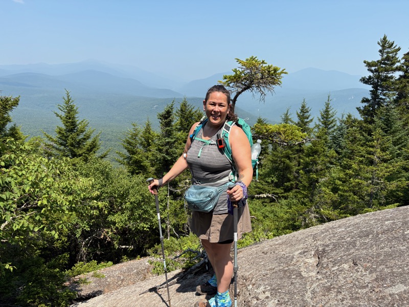
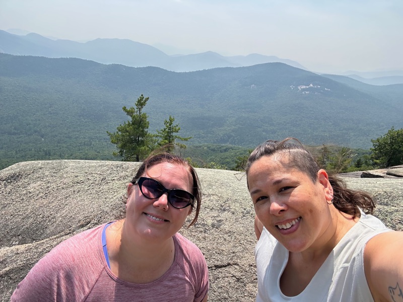
Anyway. The ledges were great! There was only one other hiker when we arrived. It’s very wide open and spacious, so we moved over to another part of the area and it felt like we had the place to ourselves. Being a hot, sweaty day, I yard saled, and took off all of my clothes, changed into dry clothes, and laid out my sweaty clothes to dry.

We enjoyed the views, had our lunch, and took our time, enjoying the day.

The hike back down was fairly uneventful. We knew we were close when we got into the birch trees.

Almost at the end, we crossed a couple just starting their hike. One of them asked how long to summit. I replied that it depends on how fast you hike. Then I said, it’s roughly 4 miles round trip. He seemed pleasantly surprised at that, which did cause me be slightly concerned that they’d just start hiking and not have any idea how long the hike. And Rainbow pointed out that information was on the sign at the trailhead as well. Sigh.
Anyway, back to the field and a nice view.
And back to the trailhead (you know, with the distances right there on the sign).

All in all, we had a great day!
- Total distance: 4 miles
- Elevation gain: 1,100 feet
- Total time: 4 hours, 57 minutes
- Moving time: 3 hours, 48 minutes
