I decided to take some time off and go camping. Beth, Rainbow, and Right Turn would join at different days and leave on different days. We were car camping, not backpacking, and I’ll post about that separately. But while I was there, I wanted to get some hiking in.
Rainbow arrived the first night of camping, so we decided to hike Owls Head together the next day. No, not THAT Owls Head (not the 18 mile hike for a 4,000-footer), but the Owls Head on Cherry Mountain that was recently added to the 52 With a View list, since Mt. Martha, also part of Cherry Mountain was delisted.
A relatively short hike, I mistakenly thought this would be easy. I didn’t account for the heat and humidity. I bought a cool new thermometer which shows the temps around 81F and humidity around 83%. So basically we were hiking through swamp water for air.

So anyway, here we are at the trailhead. Not yet sweaty, and optimistic. Oh look, it’s only 2.4 miles to the summit.
The first mile or so is relatively flat, you only gain about 400 feet, which means you gain the remaining 1600 feet in the next 1.4 miles. That is steep. And we were walking through liquid air. So yeah, not “easy”.
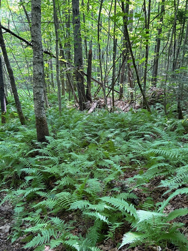
The trail is on private property. You depart the parking area through some trees and are on a gravel road. Watch for the sign that shows NOT to ascend the private road, and another sign that shows the patch into the woods. The trail is lovely with lots of ferns and birch trees.
And the New Hampshire version of Breaking Bad. Just kidding, they probably didn’t make any meth here, but it is an old abandoned RV just hanging out in the woods.

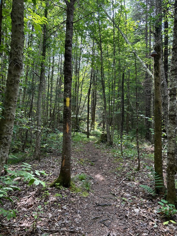
As I said, after a mile, it gets steep. At about the 1 mile mark, we crossed a stream/brook. You go up the embankment, see this sign for the path and the “CT”, which is the Cohos Trail. The Cohos Trail is a 170 mile trail that overlaps many different trails, stretching from Bartlett, NH to Canada.
This sign, and the embankment are where the steep begins on this trail.
We saw lots of mushrooms and fungi, a toad, and what we called a really large “tree goiter”.
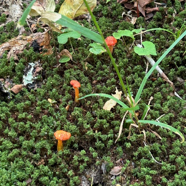
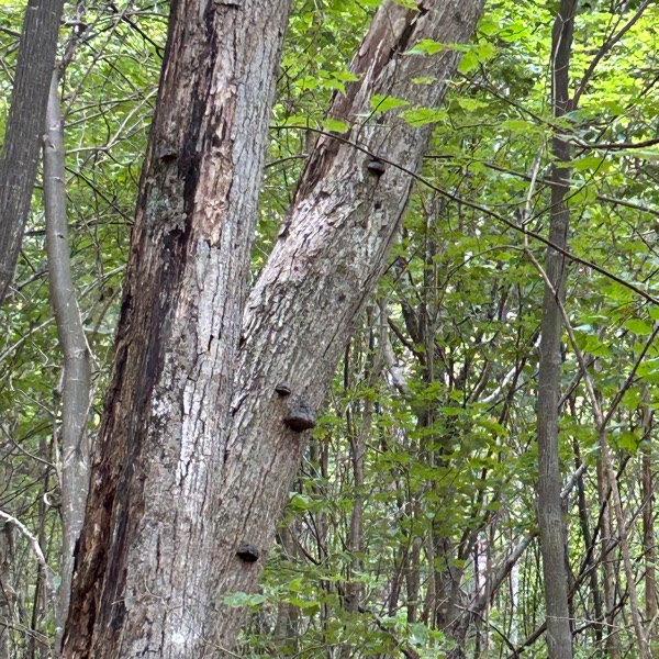
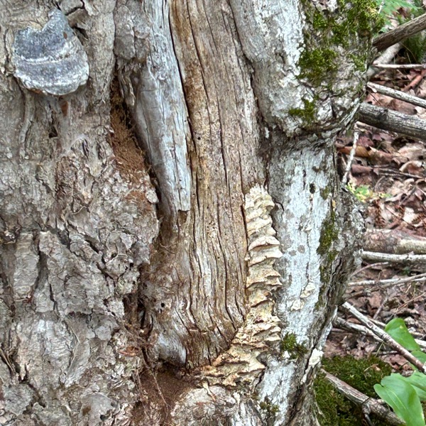

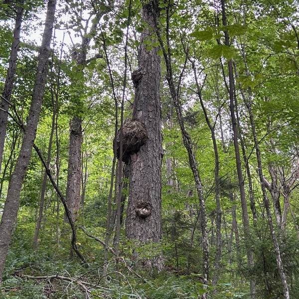
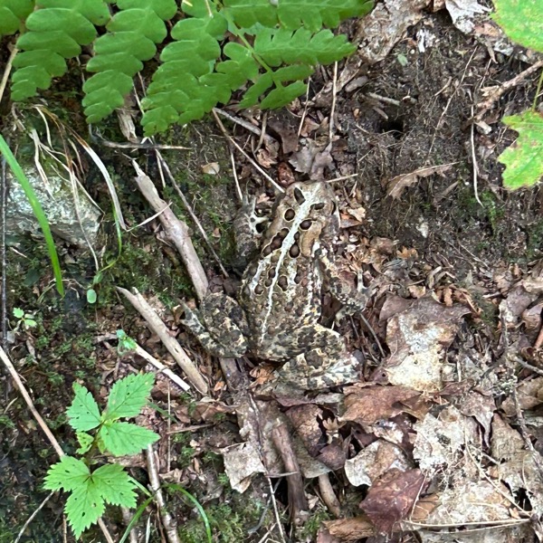
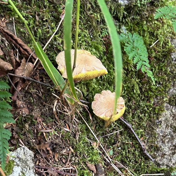

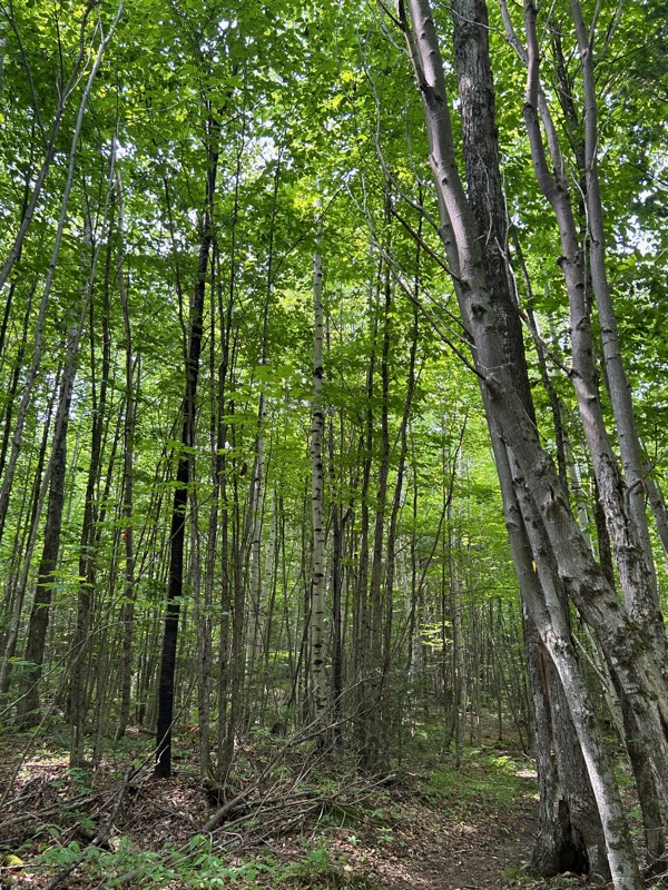
I think I took all of these photos because I was dying and needed to stop and while I was panting, I’d look around and see stuff. Taking a photo is a great excuse for a break.
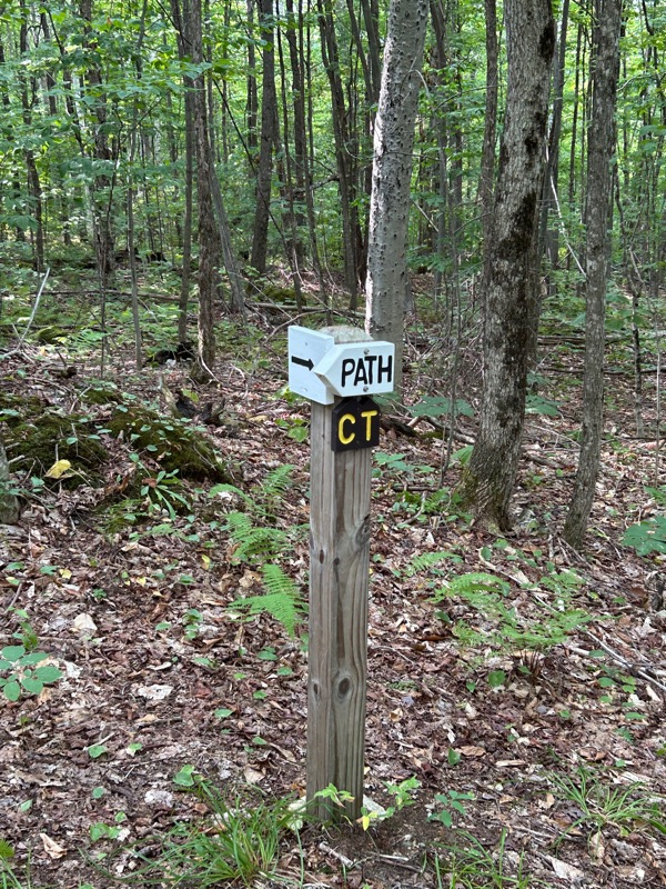
“Near” the summit (near is a relative term when hiking), we saw this sign.

Rainbow joked when we descended “oh so now we can do whatever we want?”. I replied, “No, but for different reasons.” 🙂
A few times we started to feel a cool breeze, but it didn’t really last. And apparently, we weren’t high enough for it to cool off as we got higher up the mountain. Nowhere may have been high enough. However, as we approached the summit, we heard thunder in the distance. And just before we hit the summit, it started to rain a little bit. It actually felt really good. We considered donning our ponchos, but realized we were already soaked from sweat, the ponchos would be useless, so we kept going without.
It had taken quite a bit longer than planned to get there, so we quickly sat down at the summit and ate our snacks. It appeared like there was a view lookout on the map, which we almost didn’t go to as it seemed like we’d have to descend quite a bit. But Rainbow explored a bit, and realized there was a GREAT viewpoint just a few steps away.
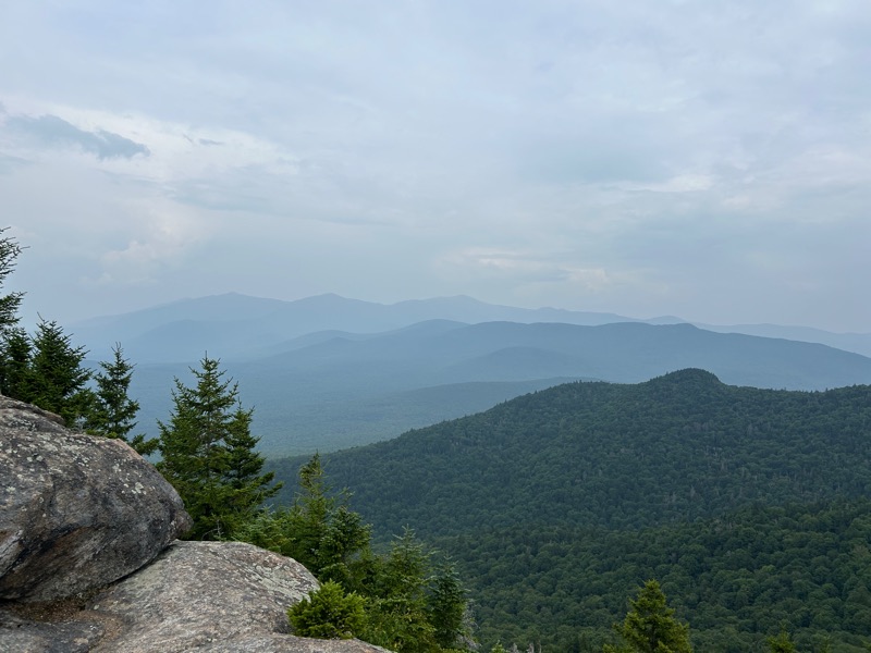
The rain had stopped and we got to take in the views. It was very hazy from Canadian wildfire smoke, but still a great view.
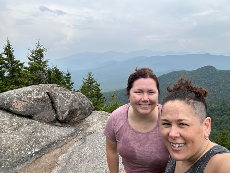
For the record, Rainbow had a wet cooling cloth around her neck prior to this photo, hence the wet spots on her shirt. 😀
Back to the hot and humid descent, where we passed these stakes that Rainbow had noticed on the way up. I somehow completely missed them in my haze of “just get there”.

Not really so remarkable, but just wild that I walked right past them without noticing them on the way up.

The bugs started to get annoying. They weren’t biting, but were trying to fly in our eyes, ears, and noses. So out come the trusty bug nets. We were clearly very happy to be done.
- Total distance: 4.6 miles
- Total elevation gain: 2,020 feet
- Total time: 5 hours, 20 minutes
- Moving time: 4 hours, 33 minutes

[…] next day she and hiked Owlshead. While we were out hiking, Right Turn arrived, and set up her car for camping in. Beth was arriving […]
LikeLike