Some things feel cursed. I was supposed to do this hike Sunday. After a busy Saturday, I bailed. Weather looked good for today, so I took the day off. I meant to leave at 7AM, but that didn’t happen for reasons. Finally ready to walk out the door at around 8:30. After checking everything on my checklist, I headed out. But I had to get gas. Another delay. And lucky I did because I realized I was chilly and would just throw on my fleece…which I’d managed to leave at home. Sigh. Anyway, at 10:10, I arrived at the trailhead. (Original plan, Sunday, then today at 9, then today at 10, missed it by 10 minutes).
Today’s hike, Mt. Kearsarge. Yes, I’ve posted about Mt. Kearsarge before, but this is a different one. The other one is referred to as Kearsarge North, and confusingly has a firetower (but is not on the firetower list) and is on the 52 With a View list, as well as the View and Brews list. THAT Kearsarge is in Chatham, NH. This one is in Warner, NH, and is on the Firetower list (technically my second), the view and brew list (also my second), and 52 WAV (my sixth).
Today would also be a solo hike. My last solo being Liberty and Flume way back in September. As I’ve said, I like company for my winter hikes (that whole extra risk of death really makes an introvert reach out). I still like company on my hikes, but wanted to solo today.
The first thing you’ll notice about this post and my solo hike is that I TAKE A LOT MORE PHOTOS WHEN I’M SOLO.


I came across this cool little “balcony” to the left of the trail, which just screamed “COME LOOK OVER HERE”. I was glad I did, rewarded with a pretty spectacular view.


It’s hard to capture the steepness of a trail in photos. In the photo on the left, I turned to my left to capture the hillside. The yellow line is approximately the grade for the granite slab in the photo on the right, you know, the trail.


You’d think I’d have had great cell service. I didn’t. Fire tower on the right.
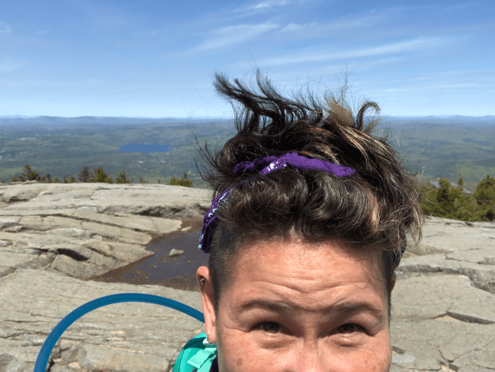
The summit was incredible. It was a very clear day and just wide open. It was also very windy and I had to tell myself that even if I blew over, I’d just fall on some granite, not off the mountain.
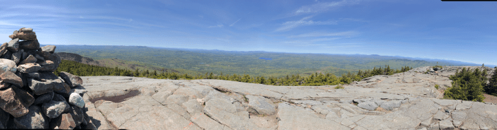
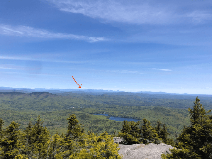
It was so clear and I could see so far, I’m 90% sure that’s Mt. Washington, but it was so far away that my app I use to identify peaks didn’t show it. There was snow on it and it’s the right direction.


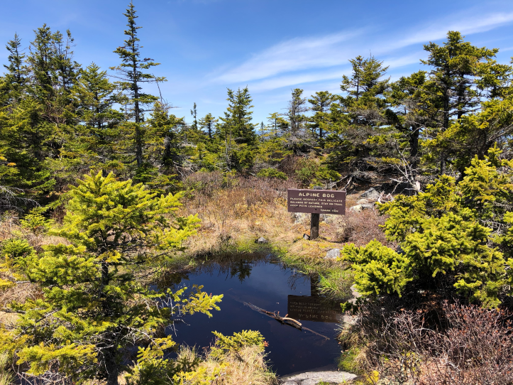
Pretty spring and some spring flowers.


Cool car that had parked next to me in the trailhead lot and Flying Goose Soul Patch for the Views and Brews patch!
The stats: 2.76 miles, 2 hours and 57 minutes, 1,058 feet ascended
