Joined up with Rainbow today to hike three Belknap summits, Rowe, Gunstock, and Belknap. We met at the Gunstock resort parking lot at 8:30 and headed up the Belknap Range Trail to Mt. Rowe. Mt Rowe isn’t very exciting, no real views, but not long after, you get a nice view of where we were headed. Gunstock (with the ski trails) and Belknap (with the fire tower).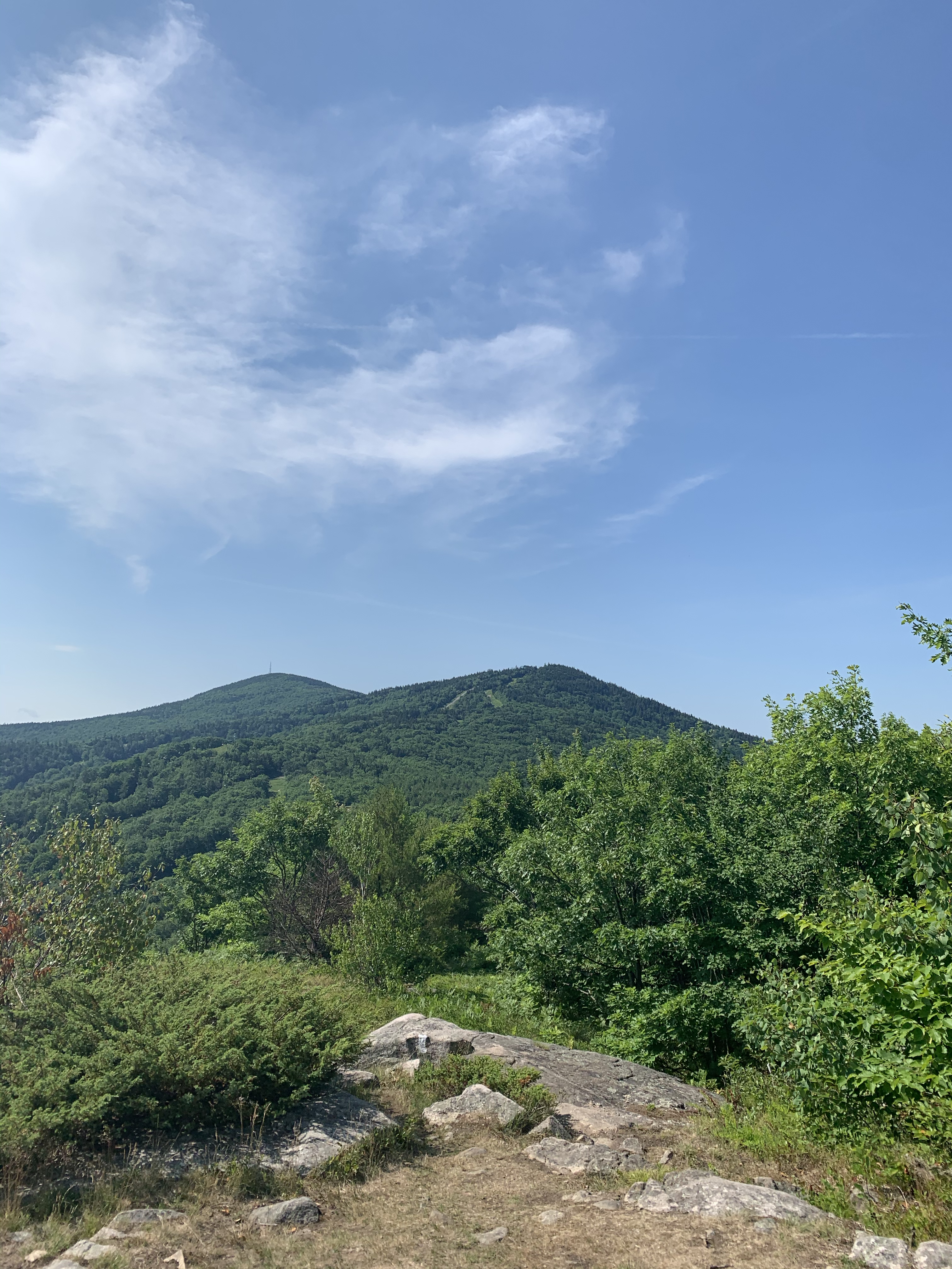


That’s blueberries. Rainbow and myself on a random picnic table on the trail. And my lunch of champions: pop tarts and garlic stuffed olives.
Gunstock was nice, some lovely views, a shut down chair lift, a closed pub. Really more of a tease than anything. Sadly, a ton of broken glass just off the summit. I guess folks think it’s fun to throw bottles in the woods. 😦
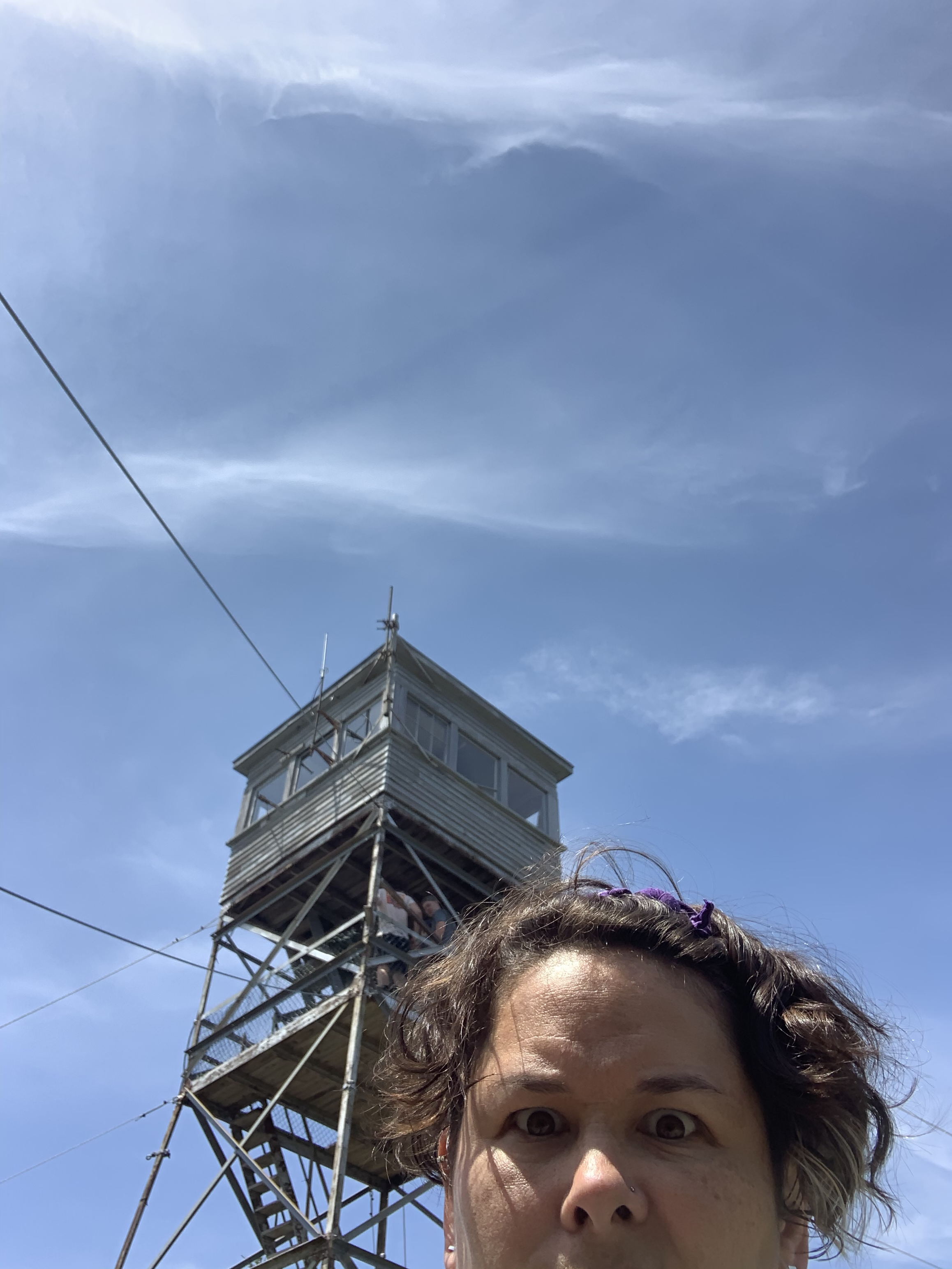
A little down and up and over to Belknap. Belknap has a fire tower (and counts towards a patch!). When we got there, there was a group of six, taking about 4000 photos in the tower. On the best of days, there is no way I’d go up the very narrow staircase and stand on a small platform with six strangers. In the time of Covid, there was even less chance of that happening. We tried to wait patiently, but I took an annoyed selfie.
They finally did vacate, and then seemed very perplexed over their trail choices to return to their car(s). Being ever the trailhead steward, even if not in my “jurisdiction”, I offered to help. “Do you want the shortest way down or a nice way down?”. It’s important to understand people’s needs. 🙂
I’m not a fan of stairs and towers, but I made it up.
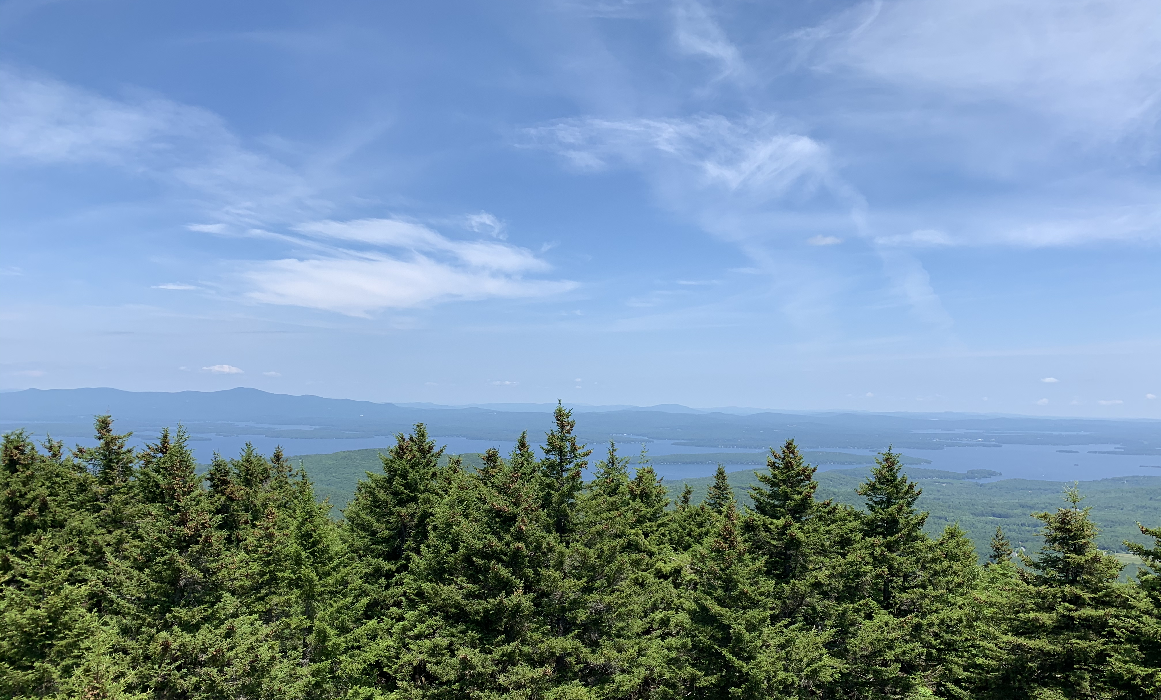
The view from the tower
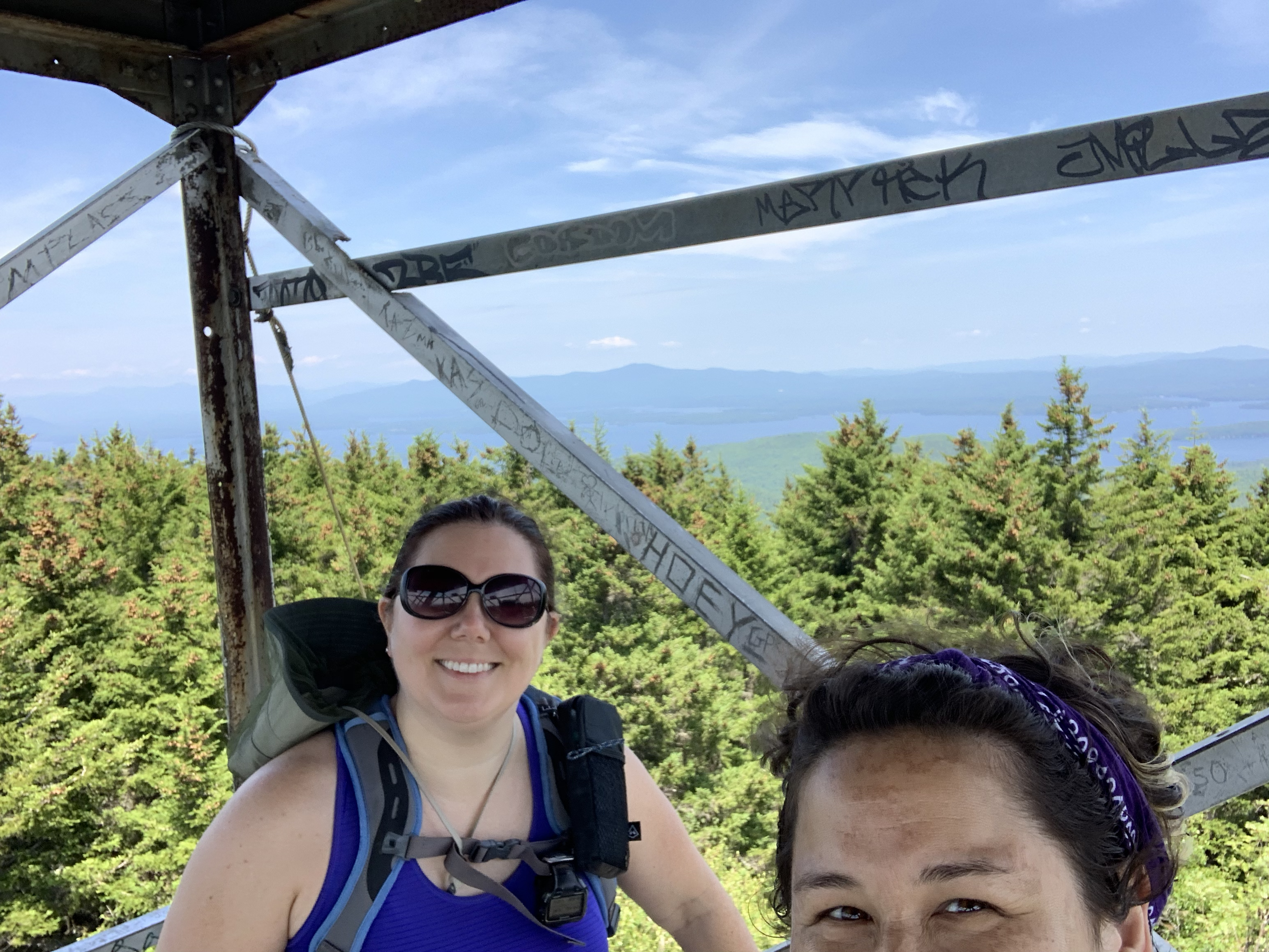
Our selfie on the tower.
And I wouldn’t be me if I didn’t take 423 mushroom pics.


Turned out to be a hot and sweaty day. For the first time maybe ever, or at least in a long time, I drank all of my water. There weren’t many opportunities to refill either, but at least I knew I had a bottle waiting for me in the car. The car, which turned out to be a mile farther away than I anticipated.
Most of my hikes are in the White Mountain National Forest, and there are excellent maps, accurate maps for mileage. The Belknap range map isn’t quite as helpful and I used an app to determine mileage and elevation, which apparently didn’t save my trail junction to the car. Luckily, it was a flat-ish mile, but it was also very hot and humid. Here is Rainbow approaching the parking lot, with a panorama of Rowe (antenna summit far right), Gunstock (ski trails), and somewhere to the left, Belknap. Kind of cool to see where you’ve walked all day.
Hike stats:
Distance: 7.5 miles
Elevation: 1817 feet gain
Time: 6 hours 35 minutes
Moving Time: 5 hours 19 minutes
