Finishing up a fantastic week, I solo hiked Middle and North Sugarloaf. There were a lot of cars along the road and I was worried that it would be too crowded. As you’ll see, I’m glad I decided to do the hike anyway.

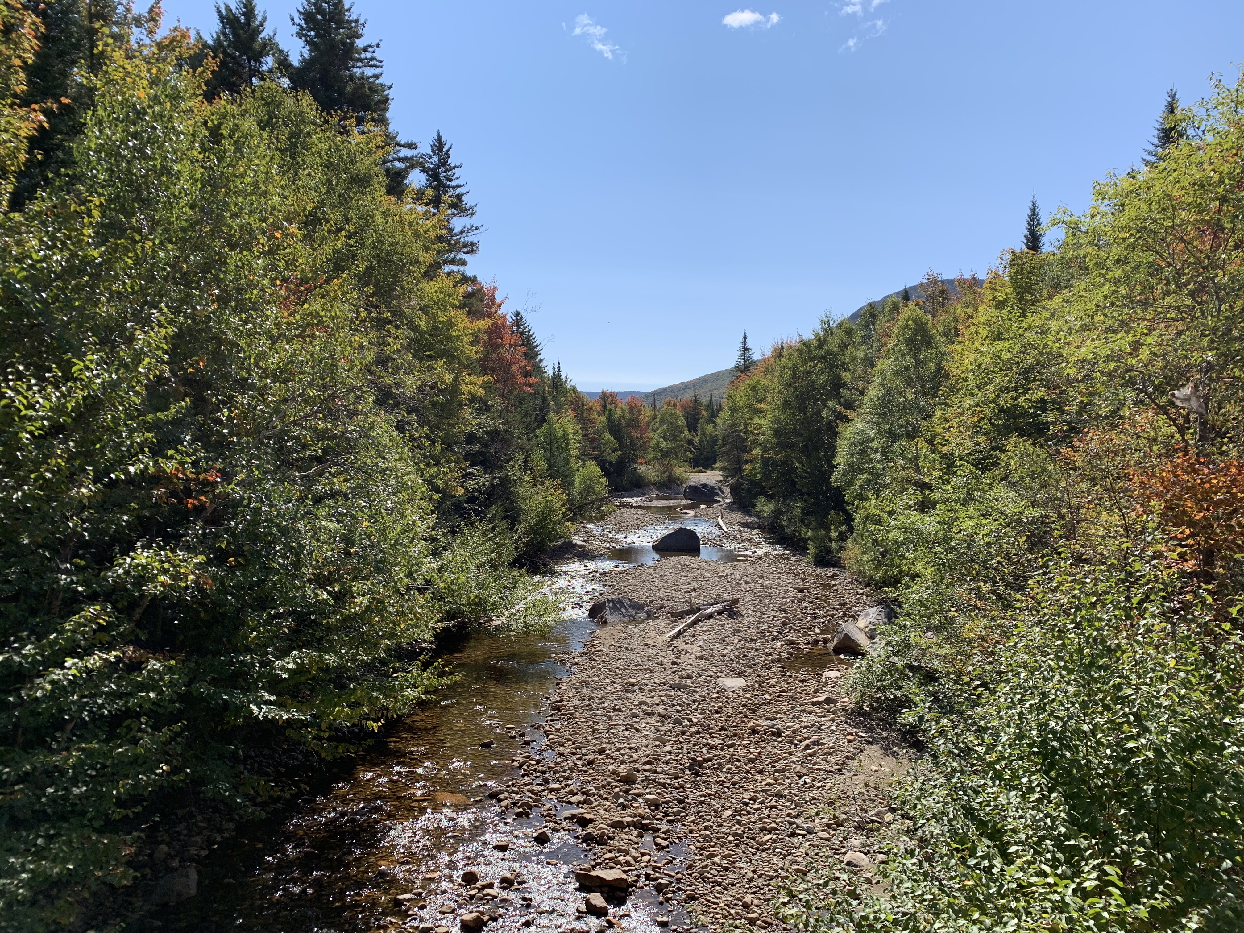
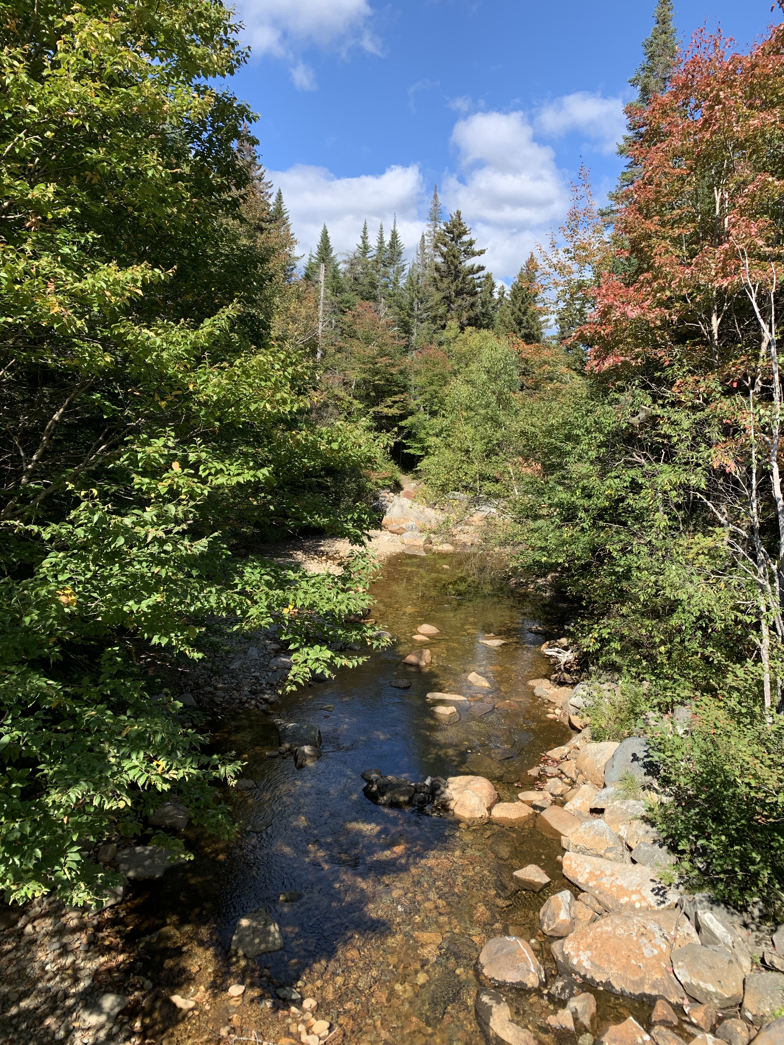
The trail begins along the Zealand river.
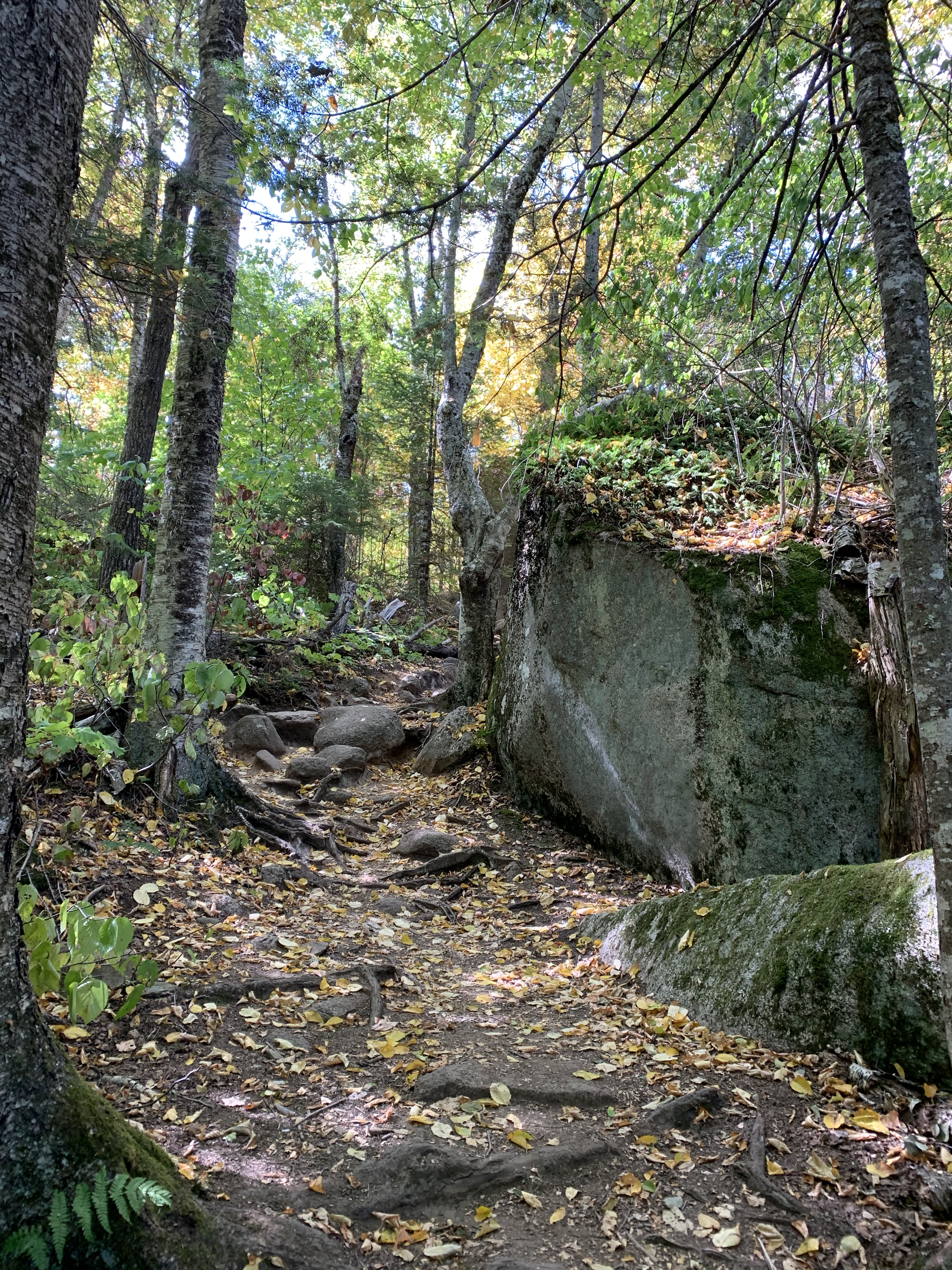
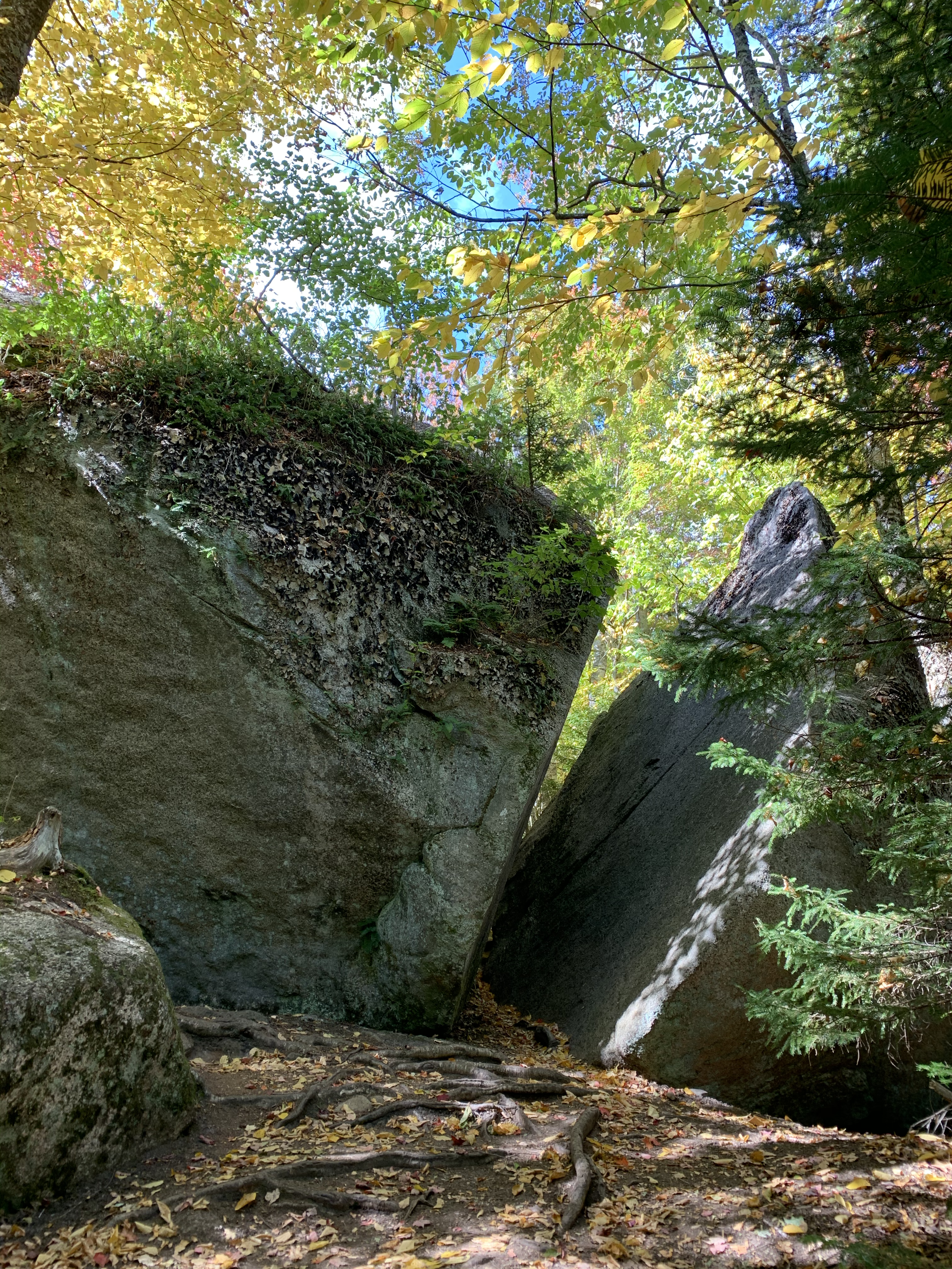
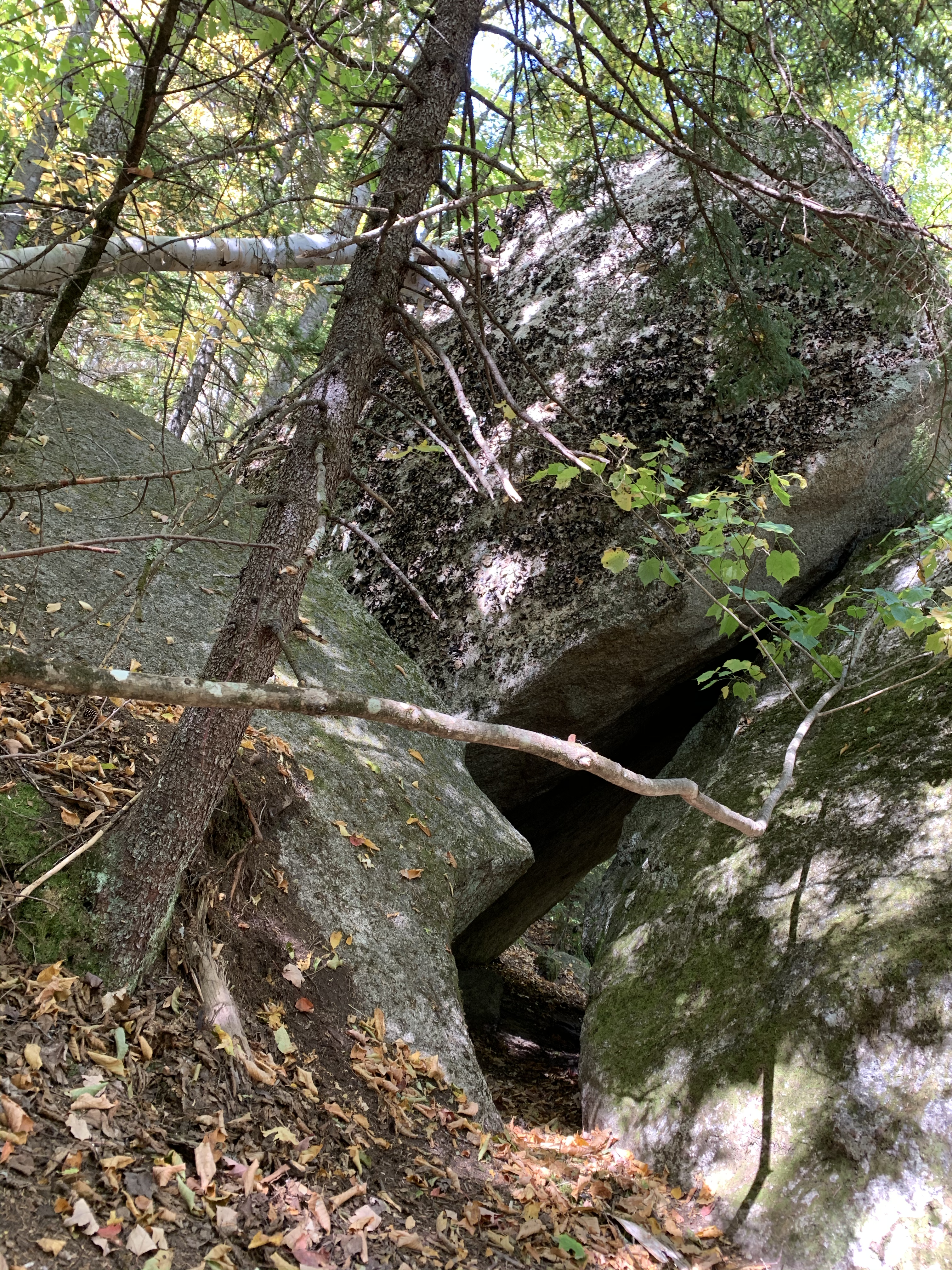
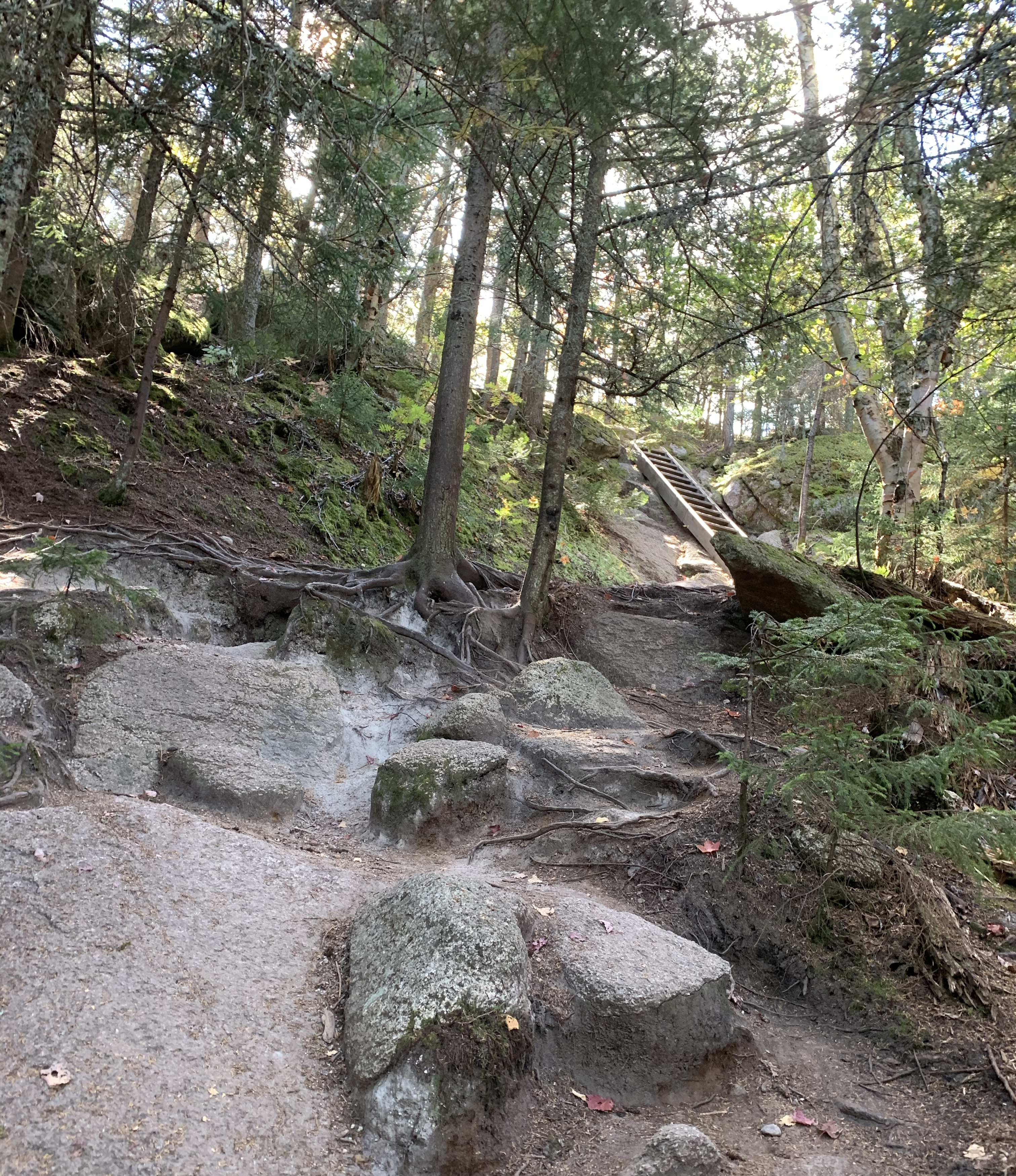
The trail then turns away from the river and is barely uphill. I didn’t need my poles for quite some time. The trail then enters a “boulder field”, with huge boulders left behind by glaciers. The trail even goes through a cracked boulder.
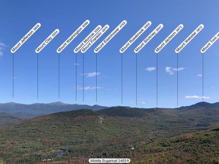
Middle Sugarloaf is the peak on the list for 52 WAV. It’s also the more popular peak as it has more views. Due to all of the cars on the side of the road, I figured I’d head over to North Sugarloaf first, assuming it was less crowded. I was greeted with only a couple of hikers at the top and this spectacular view.

The leaves have just started turning. I heard someone speculate another week to peak foliage, but since they haven’t really begun turning farther south, this was a lovely surprise.
We had some leftover pizza from our week in Conway, so this was my wonderful summit snack. A woman called over to me, “Now my husband wants pizza!”

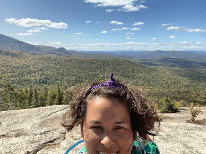
I took a photo for them, which turned out really well, they sat on the edge and looked at each other, really really sweet. They returned the favor and took this pic of me.

Contemplating the world.
I spent a lot of time here. Much more time than planned, but it was so beautiful and the weather was perfect. I wore my hiking skirt and sleeveless tank, just putting on my lightweight jacket for the summit. There was barely any wind and the sun was shining. Just a really perfect time on the summit.
However, it was time to head over to Middle Sugarloaf, if for no other reason than to qualify as a 52 WAV hike.
On my way over there (back in sleeveless tank and skirt), a hiker descending from Middle Sugarloaf said it was chilly up there and asked if I had anything in my pack for my legs. I thought that was weird, since my legs are the LAST thing that would need covering. But I did think it nice that they were looking out for fellow hikers. I assured them that I sweat even on 8 degree hikes and I had a jacket in my pack.
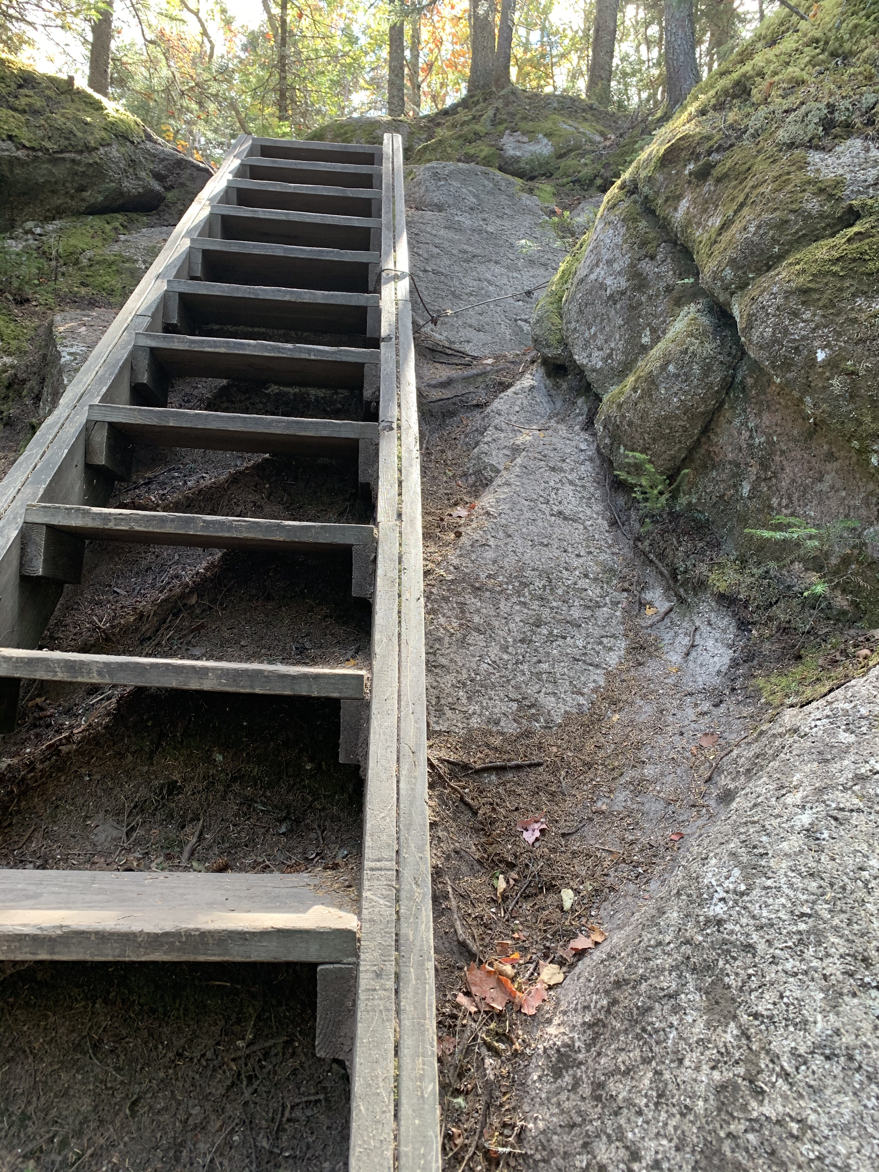
I knew the ladder meant I was just below the summit. Sometimes these are a welcome site, sometimes they’re nerve-wracking. I’m glad I didn’t notice these cables until AFTER I had descended this ladder later.
Middle Sugarloaf was nice. It was a much larger, wider summit. If you walked around you could see closer to 360 than on North Sugarloaf. But there were also more people, and after the first BAM of view from North, Middle didn’t seem “better” like a lot of people said. It was still gorgeous and I once again spent more time there than I planned.
Time to descend. I don’t know if it’s because it’s more of a “beginner” hike (and so they haven’t seen all “the gear”), but soooooo many people commented on my dirty girl gaiters. I love them both functionally and the design. They certainly got plenty of attention today. Including one guy who said “hey are you wearing spats?”. Which was extra amusing as I had just said the day before that I felt like I was wearing spats. I shall now call them that at all times. I’m fancy like that.
I also saw a woman heading up as I was heading down that did not look like she was hiking, but rather that she was headed her jazzercise class. No pack, no water, but flared yoga pants and a cute pink top, while listening to music that I could hear somehow wafting off of her. She later passed me, running down the trail. I guess she was late to class.
Quite a few people were coming up as I was descending. One couple seemed to have a reluctant participant. I heard one turn to the other and some choice words were said about the hike. Then they saw some other people coming down and asked how much farther. The answer is sadly always “you’re almost there”. In this case, it was true. But then they asked “Is it uphill the whole way?”.
Hike stats:
- Distance: 3.75 miles
- Elevation gain: 984 feet
- Total time: 3 hours, 31 minutes
- Moving time: 2 hours, 41 minutes

Kathy Looks like a good hike. I miss the mountains of the east coast where the leaves change colors. Where about is that? Did you use a GPS tracker that you could share a map? I hope you’ll get more hikes in over the next month and share photos of the progression in the colors.
And I’m looking for the photo of your dirty girl gaiters!
LikeLike
No hikes planned over the month, and those leaves will be at peak in a week or so anyway. My gaiters are very similar to these, https://dirtygirlgaiters.com/my-empire-of-dirt/hydrate.html
LikeLike