Today Rainbow, Right Turn, and I were joined by two friends of Right Turn. We met at the trailhead and we were headed for Zealand Mountain.
The hike is a long one. It’s 11.4 miles. Normally this time of year, Zealand Road is closed, which means an additional 3.7 miles each way. Since the road was open, we jumped on the chance to hike it now. 11.4 miles for a viewless summit, is a hard sell, but it was supposedly a flat hike the first 2.5 miles and not particularly difficult for the rest of the hike. The forecast was for full clouds, so viewless wasn’t too big of a deal.
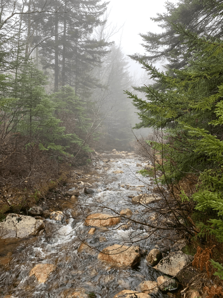
What everyone said was true, the first 2.5 miles were nice and flat, although there were several water crossings.
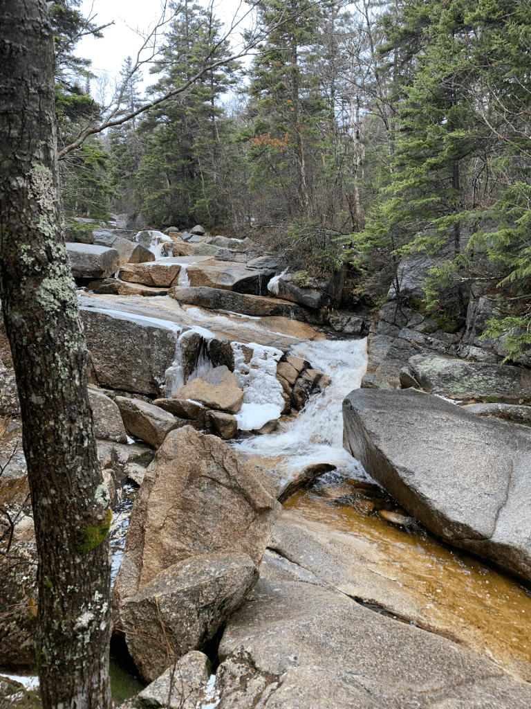
While it was an overcast day, the falls were still pretty.
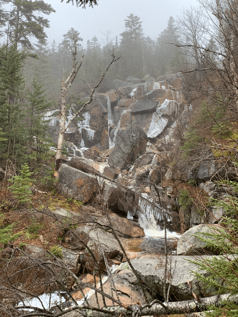
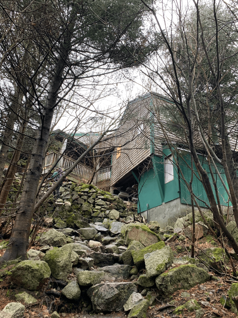
Right near the falls is the Zealand hut. Unfortunately, due to COVID, the hut was closed all summer. I will be back as it looks like a nice hut, it’s a great location near the falls, and isn’t too difficult to get to.
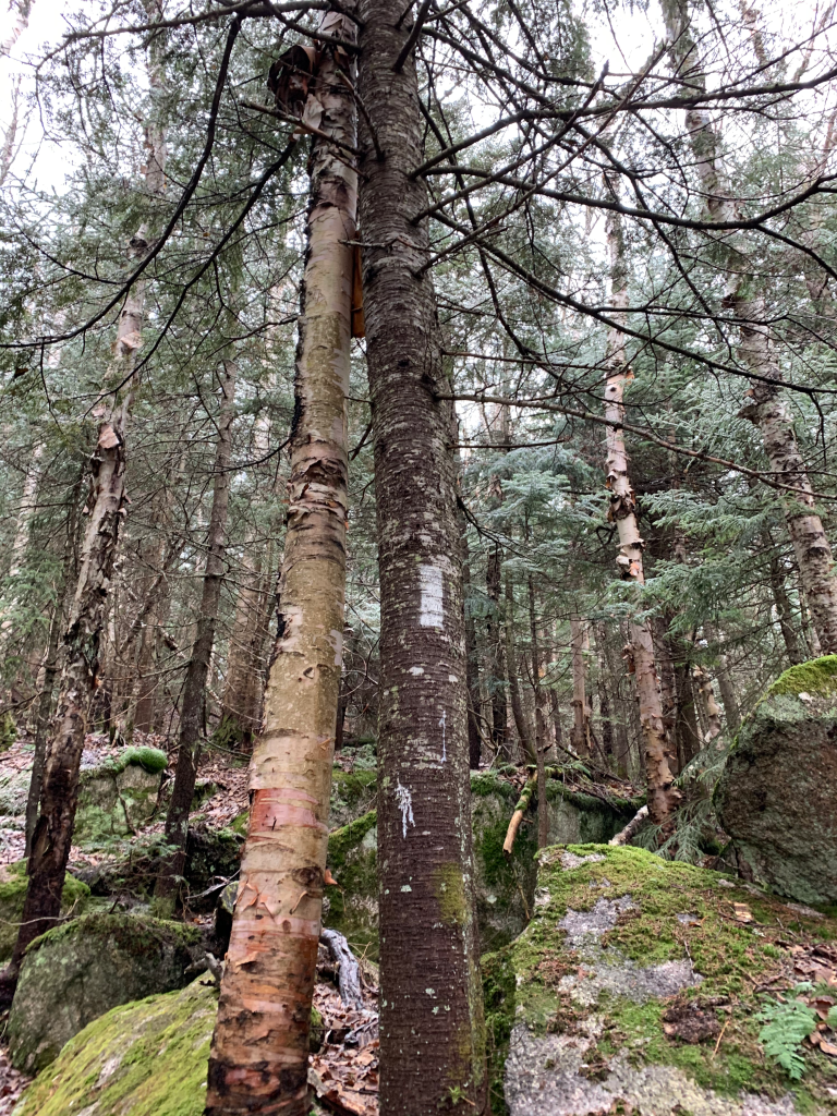
Half of the hike is on the A-Z trail, which is also the Appalachian Trail.
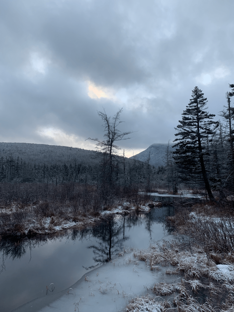
There were some limited views, this wasn’t too bad.

We skipped the extra loop to Zeacliff, which is supposedly a great view, one of the best in the Whites, since it was so socked in. We continued on towards Zealand and saw this lumber drop.

I’m told those were dropped onto the mountain by helicopter and they’re there to replace rotting timbers that are occasionally placed on the trail in really boggy areas.
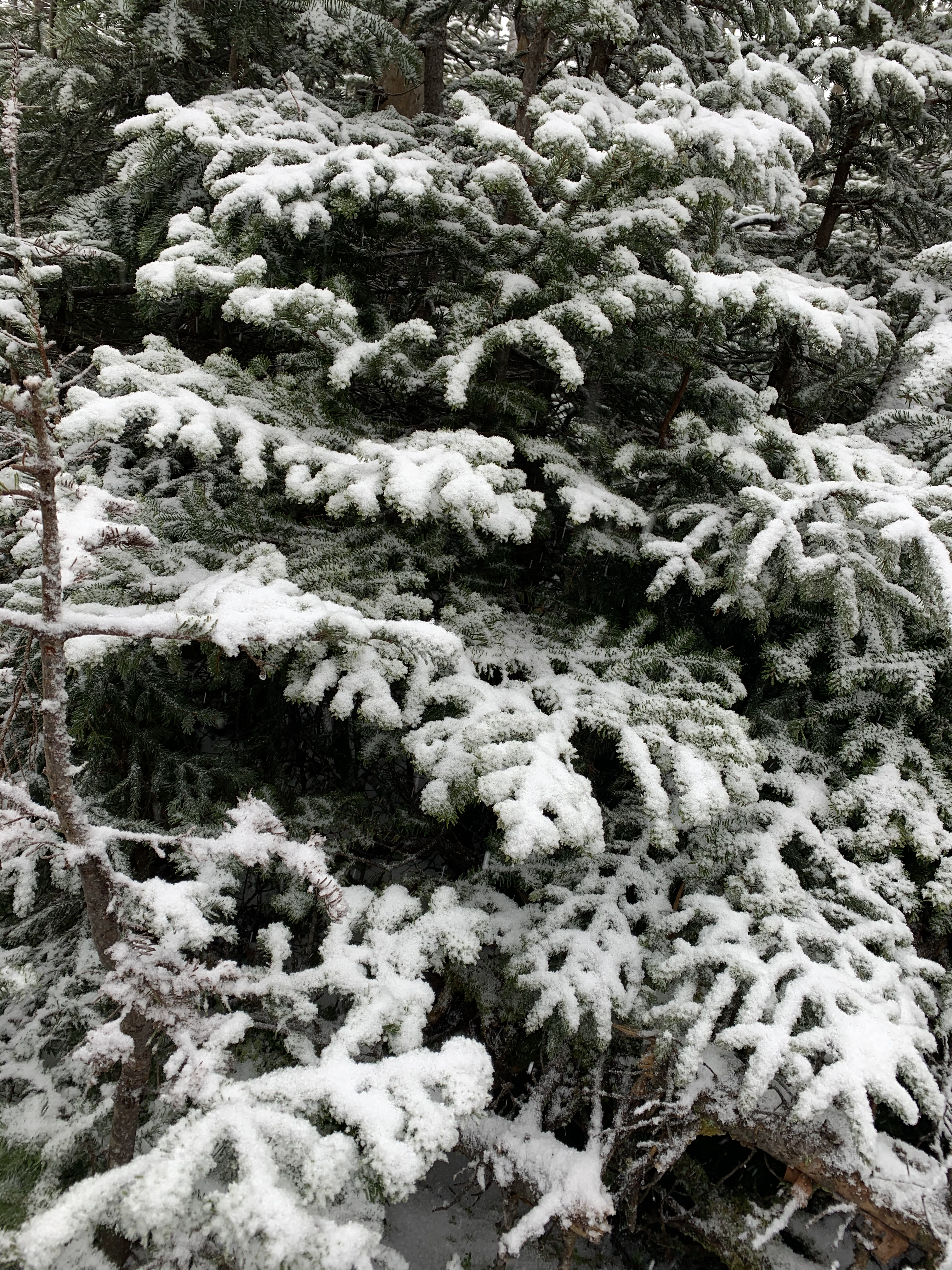
The bottom 2.5 miles were flat and bare, but as we climbed higher, there was some snow and ice accumulation. In some portions of the trail, there was a LOT of ice accumulation.
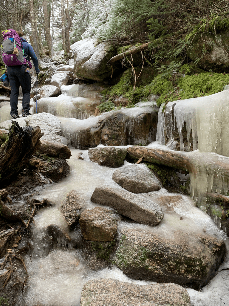
Microspikes were definitely needed at this point.
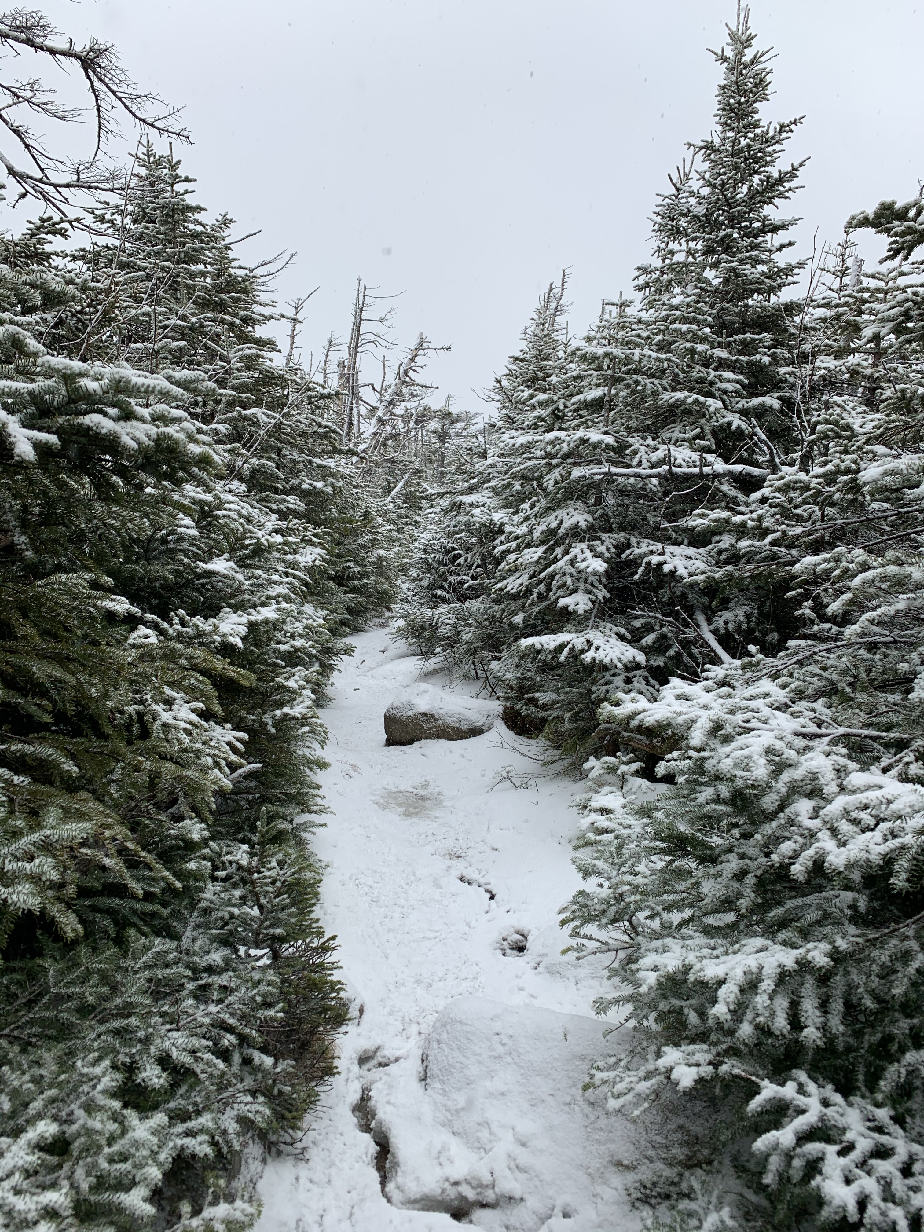
There was a looooooong hike along the ridge over to Zealand. It started to snow.

Zealand Mountain may not have a view at the summit, but it at least has a cool sign. We started back down and tried to hustle a bit since we wanted to get back before sunset if possible.
Did I mention it had started to snow?
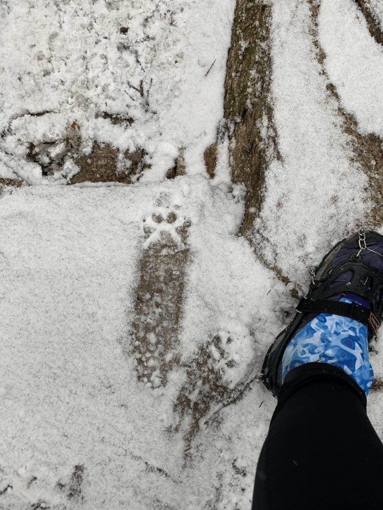
There was a cute pupper on the trail. I noticed puppers might need microspikes.
Did I mention there were water crossings?
We stopped for a quick snack at the hut, and the snow was really coming down.

Several of the water crossings had little bridges, and this one had a nice view of a little beaver dam.
And these adorable little paw prints on the bridge.

Mixed conditions were tough. Full snow means no rocks, no snow means not slippery. Unfortunately some snow on rocks means both that rocks are there AND they’re slippery. So I was having some fatigue from straining to watch where I stepped. It was getting dark, and I was definitely tired. Somehow I looked at my phone app to see how much farther to the trailhead, and thought the GPS was off. It wasn’t. I was just tired and confused. I did assume it was the phone, and we kept going. It got darker. It started raining instead of snowing. So it was hard to see, we were cold, and now wet. With my phone GPS (seemingly) off, I will admit, I panicked. Luckily, I confirmed with Rainbow that we were going the right way and almost to the trailhead. We were.
So a long day, with mixed conditions. But all in all a nice hike, with good friends, and another 4000 footer done!
- Distance: 11.4 miles
- Elevation gain: 2400 feet
- Total time: 9 hours, 25 minutes
- Moving time: 8 hours, 11 minutes

[…] both hiked Zealand on November 29, 2020 in very different conditions. We’d be covering the same ground all the […]
LikeLike
[…] and I have actually hiked this part of the trail two times before this. Once in winter, in order to summit Zealand Mountain, and once in summer, on our way to the Bonds. It’s a […]
LikeLike