I woke up at 4 AM, in order to get dressed and drive two hours, in hopes of getting a parking spot at Old Bridal Path/Falling Waters trailhead parking. I was going to do one of the most iconic hikes in New Hampshire, the Franconia Loop. It’s also a VERY popular trailhead, on a Saturday, with a great forecast. I arrived at the parking lot at 6:30 and much to my relief, there was plenty of parking. I put on my pack and headed off moments after sun rise.
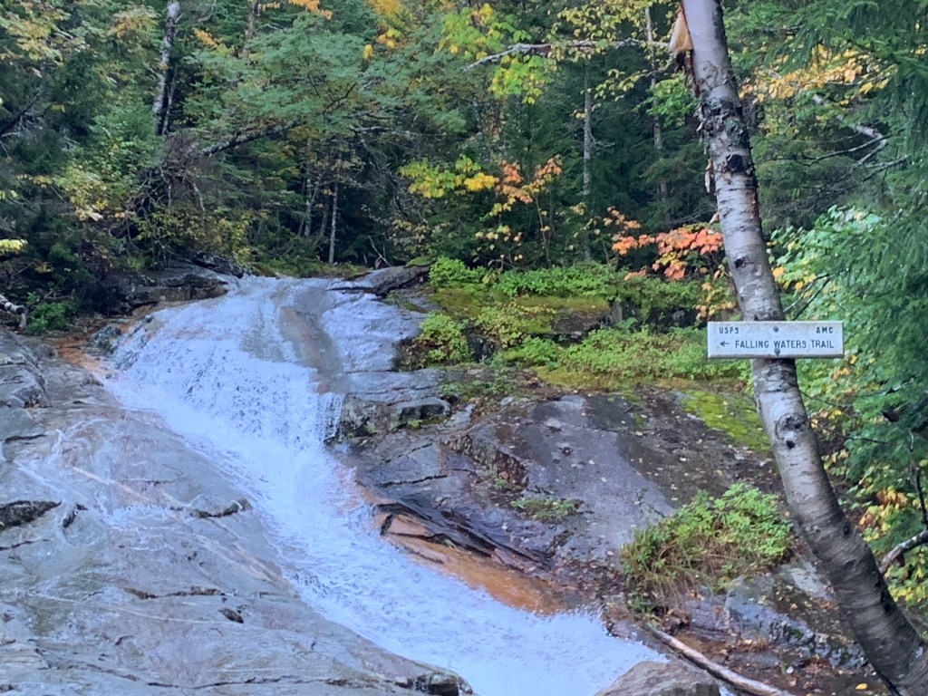
As I said, this is the Franconia Loop hike, consisting of the Falling Waters Trail, Franconia Ridge Trail, and Old Bridal Path. And I had heard it was best to go UP Falling Waters trail and down Old Bridal Path. Now that I’m done I can say that was excellent advice. The Falling Waters trail is incredibly aptly named. It’s beautiful, but also has tons of waterfalls, and water crossings, and lots of steep, wet rocks. Also it had just rained the night before so the water levels were high.
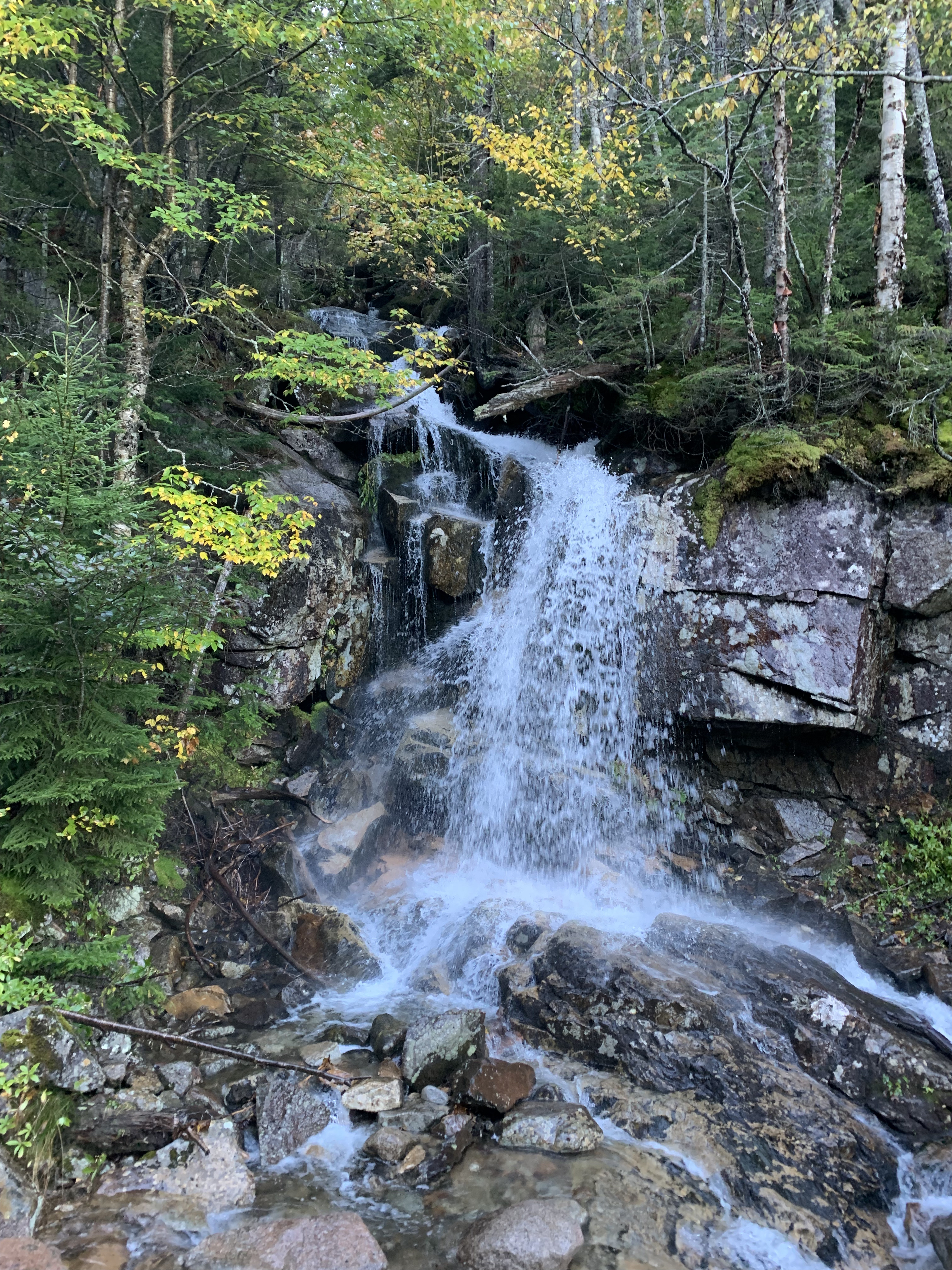
It was still early and the sun hadn’t risen enough to truly make these photos pop, but it was still lovely just the same.

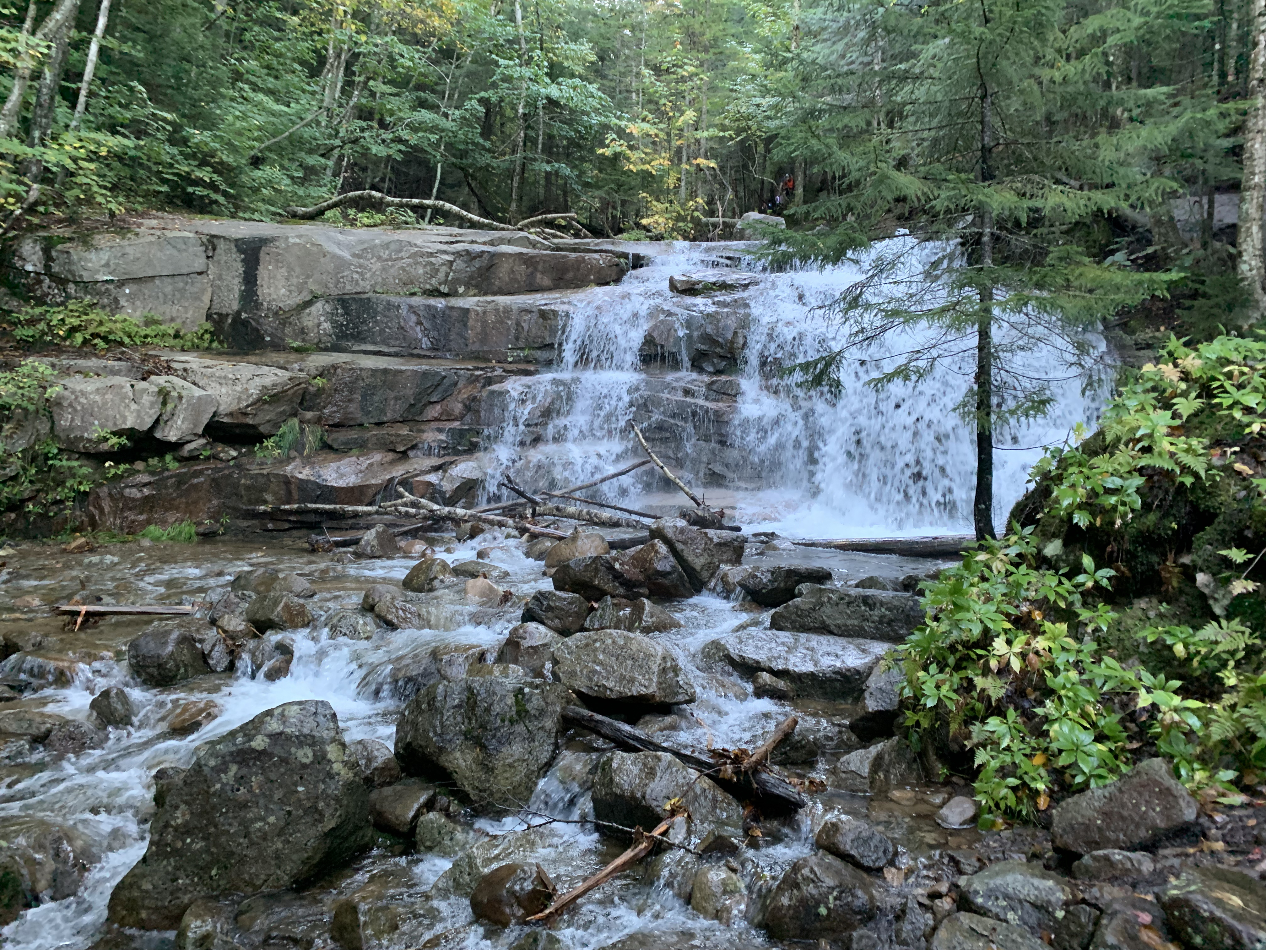
Two pictures of the river alongside the trail


Note the hiker in the photo above on the left. In that photo, I’m standing on the trail, as is he. Again, aptly named trail. Second photo from the left, you can see another hiker, and the blue blaze on the trail.
It was around this time that I came upon a dad and two young kids. The kids were maybe 4 and 6? Dad was doing a great job encouraging them and also teaching them good trail etiquette. They were having a great time. I’d end up “leapfrogging” them through out the day. He carried them a little bit (like across water crossings, one at a time like in that old logic problem), but from what I saw, they did most of the hike themselves!
At around 3 miles, you come up above treeline. And you stay above treeline for two to three miles. The ridge is completely exposed and narrow. You don’t want to hike it in bad weather. Not to mention it has spectacular views that would be a waste on a cloudy day. I kept saying I’d only do this hike if the forecast was good. I wanted a “blue bird day”, and wow did I get it. Temps were in the 50s on the mountain with full sun and just a light breeze. Perfect hiking weather, and perfect weather for being on an exposed ridge.
I’m adding photos to this post (I took 76, I promise not to post ALL of them), but I’ll tell you right now, these photos in no way do justice to being up there. At multiple points, I had to hold back tears because of the pure joy I felt.
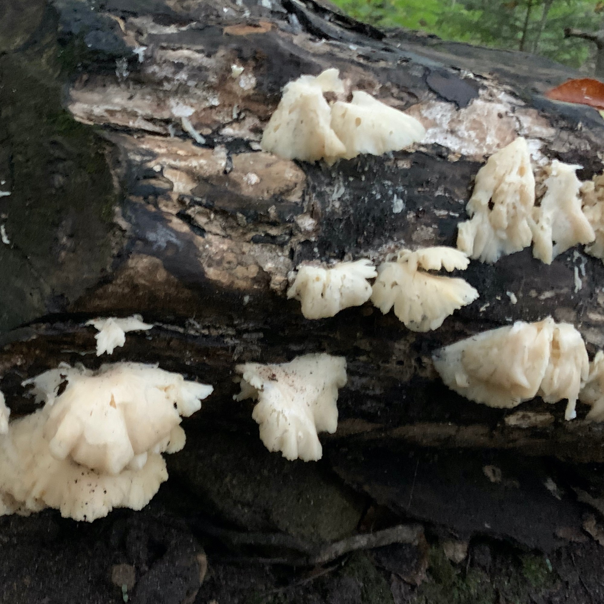
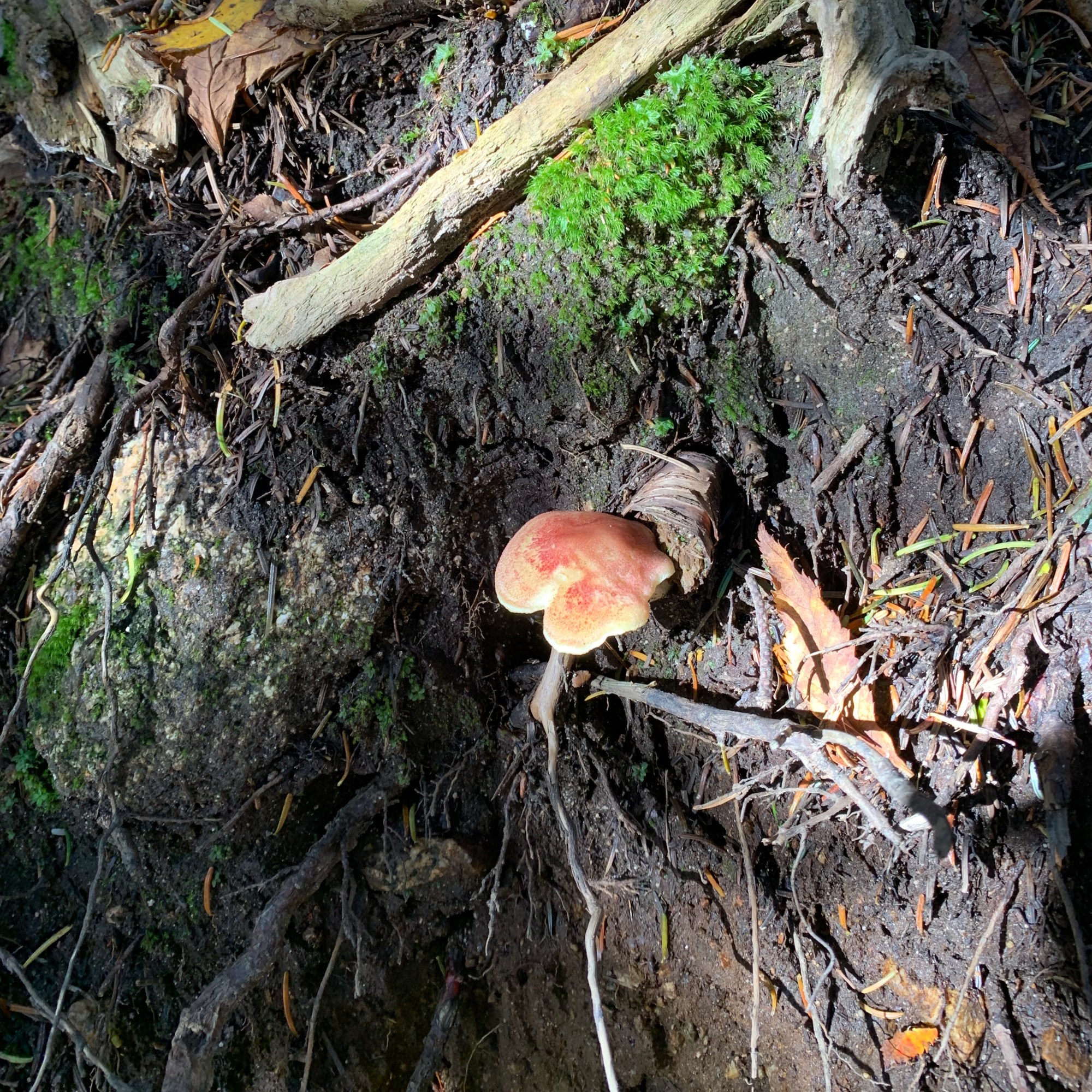
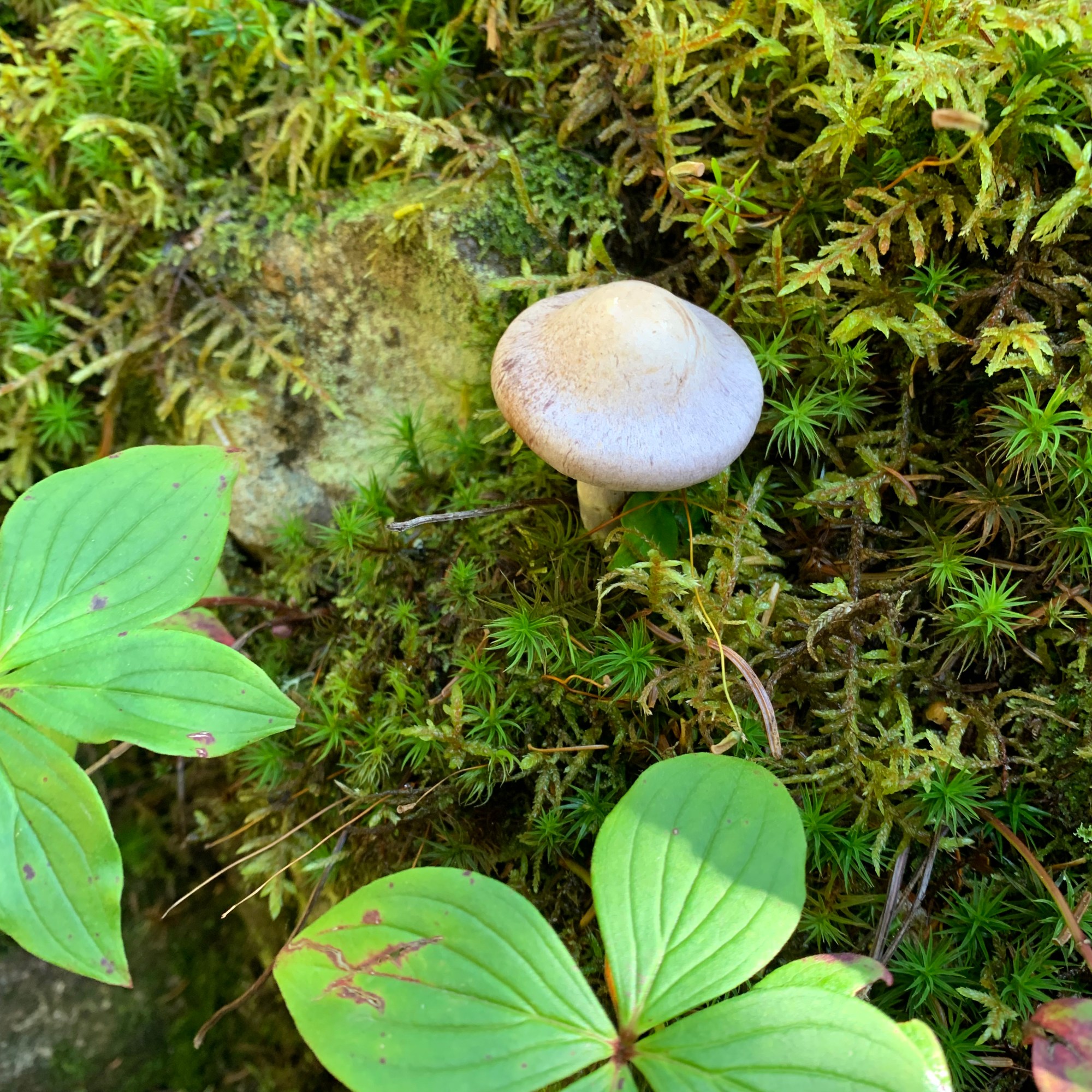
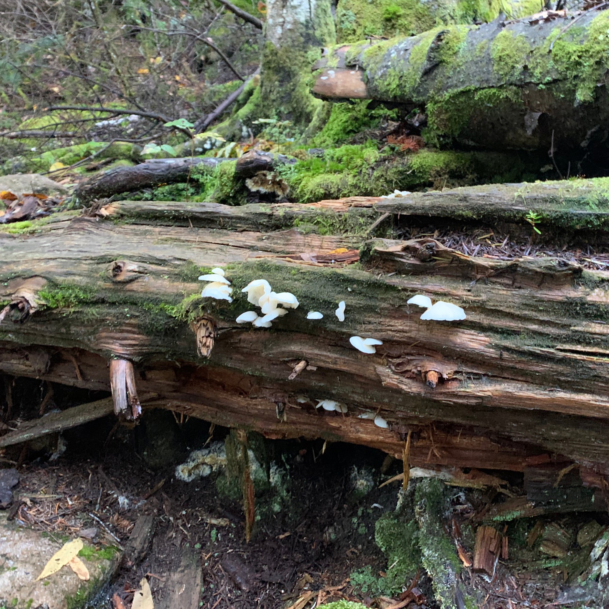
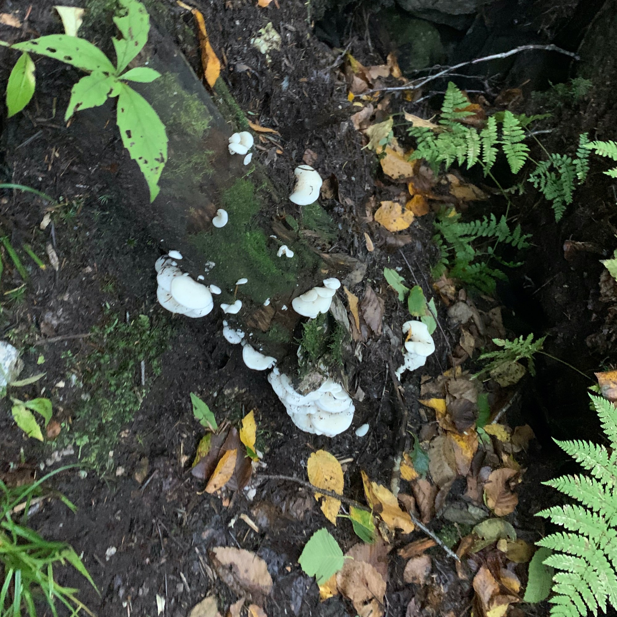
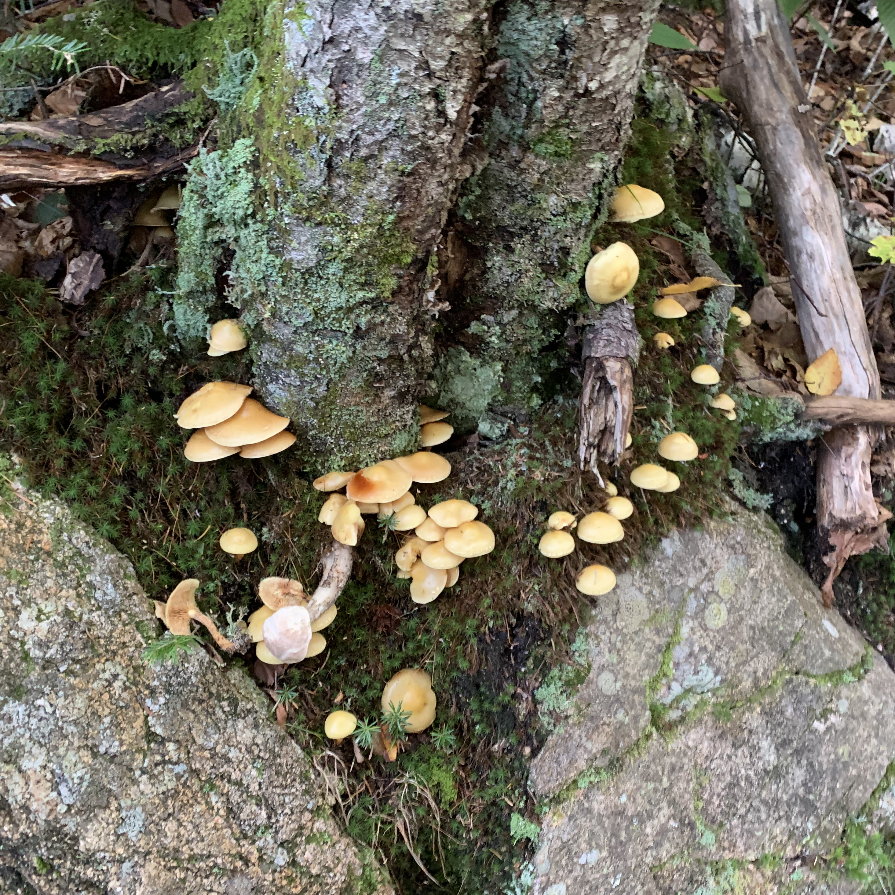
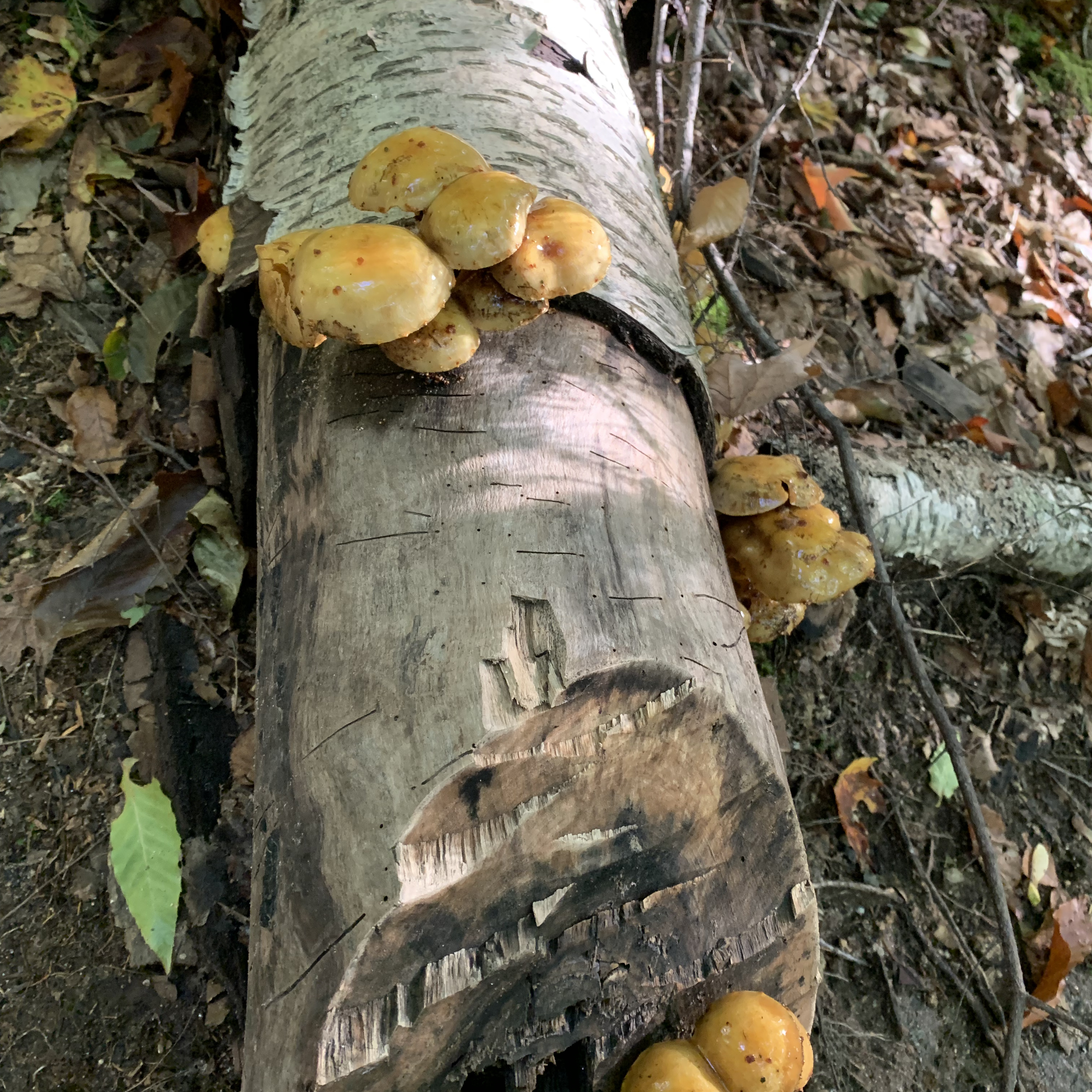
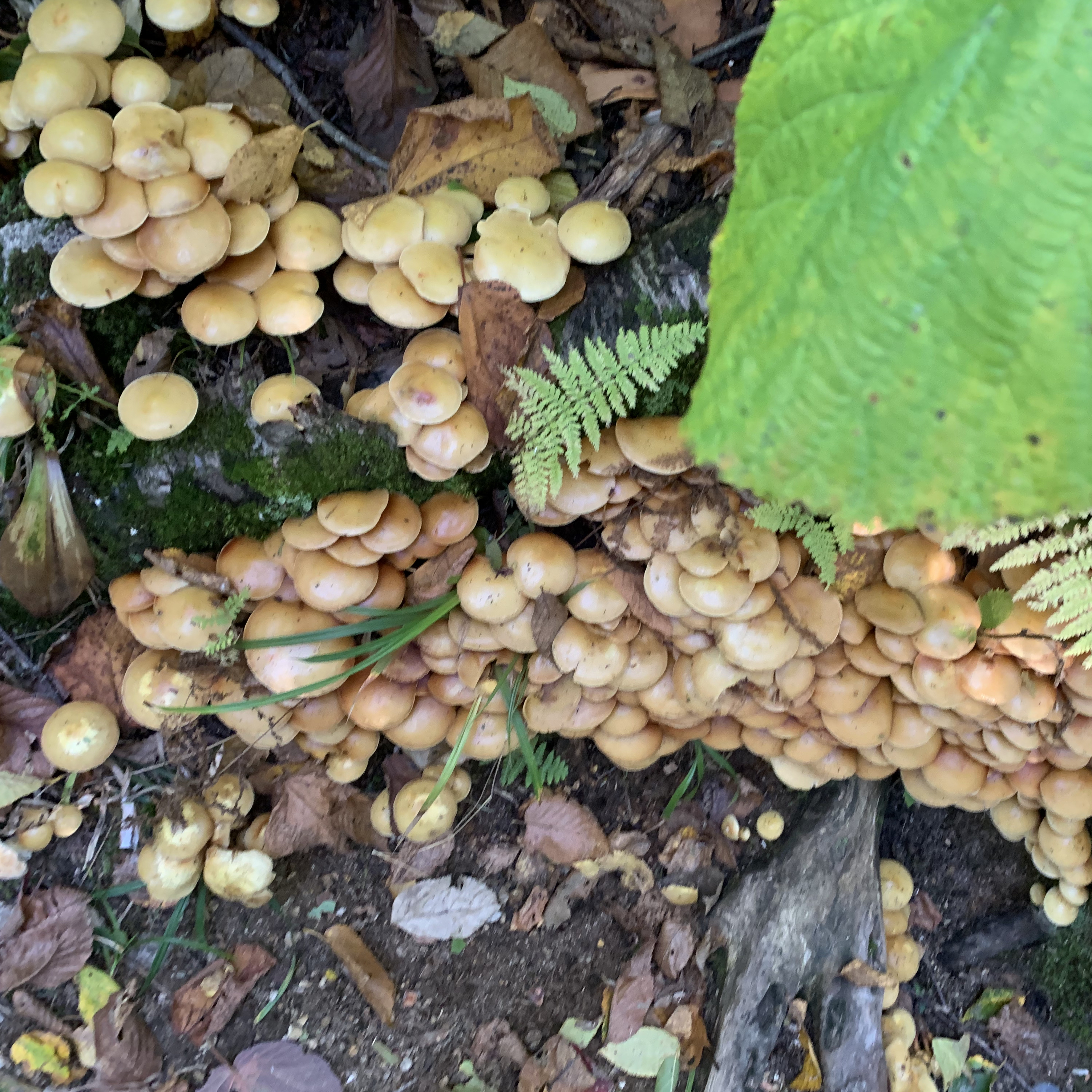
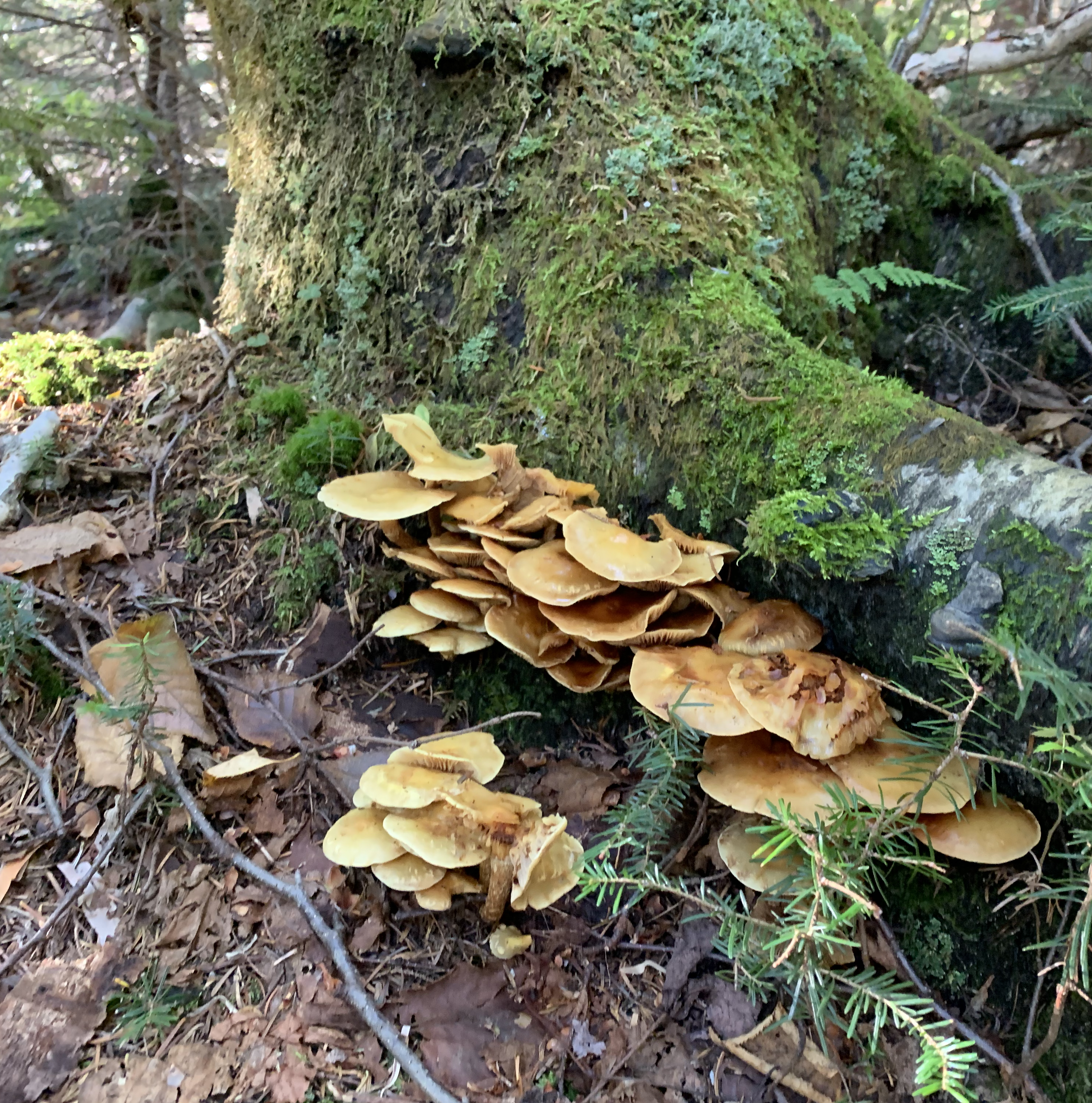
But before we get to the summit, let’s take a quick mushroom break, shall we? There were loads of mushrooms. I didn’t come close to getting pics of all of them. Or even all of the ones I wanted to. I never would have made it off the mountain.


One more note before I get to the ridge. This blog post is titled for the two 4000 footers from the NH48 patch list. However, I actually summited FOUR peaks above 4000 feet on this hike. However there are rules for the “NH48” about prominence and proximity, so two of the four “don’t count”.
Also (oops, I guess two notes) this hike is long with a lot of elevation. Using the book time calculator (which takes into account miles AND elevation gain), this was the second most difficult hike I’ve done. It was certainly the most elevation gain I’ve done, but less mileage. However, that means it’s steep. More mileage in less distance means you’re picking up those knees a lot and there won’t be many level parts at all (if any).
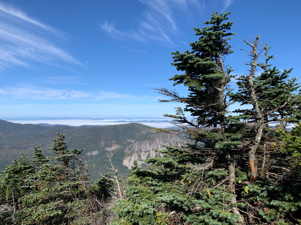
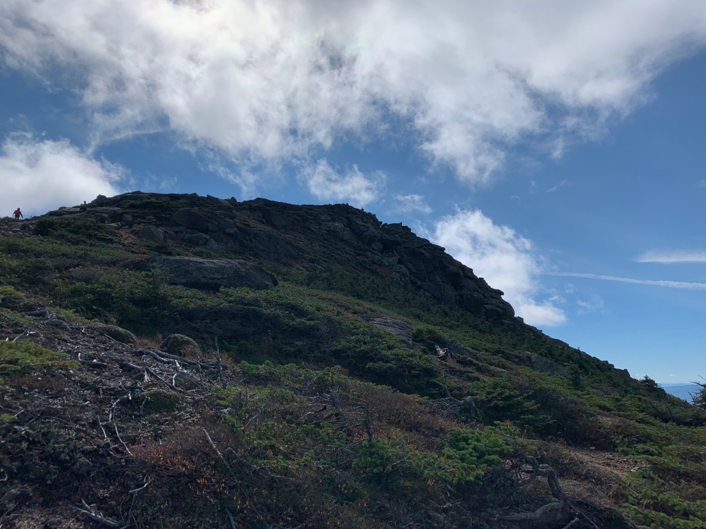
So, the final ascent to the ridge. As happens when you’re about to go above treeline, the trees get shorter. Here in the White Mountain National Forest, you also get that amazing pine scent. I passed a group that had stopped for a break and one of the hikers said, “I’m just going to sit here and huff trees”. The smell is that good. By the way, there’s a term for the stunted trees and vegetation, krummholz.
Just a bit farther …

I popped up over the top and took a look behind me. Several things to note in this next photo (below). One, okay yeah, the phenomenal view. Two, the really cool undercast in the distance. Three, the hikers popping up out of what looks like the edge of a cliff. Lastly, note how the trail is lined with rocks (you can’t see grey pants hiker’s feet because they’re behind rocks that line the trail). Those rocks are to keep you on trail. It’s hard to see here, but we’re in the alpine vegetation zone. Small plants that work really hard to live in a really harsh environment. Plants that when stepped on can take DECADES to grow back. There is signage that tells hikers to stay on trail at all times in order to protect the alpine vegetation.

First mountain of the day summited. Little Haystack Mountain. 4,724 feet. But not a qualifying NH48 4000-footer.


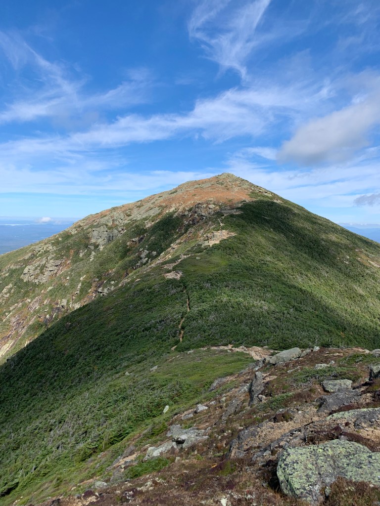
Some alpine vegetation in the photo on the left, as well as a great view of the valley below. You can see the leaves are just starting to turn. And in the photo on the right, a summit blueberry! Very much at the end of the season.


These three photos above are from that rocky knob I pointed out earlier. They’re much bigger when you have to climb over them! And yes, I had to climb over/around/through them. Note the white blaze in the photo on the left. Marking the trail (which is also part of the Appalachian Trail!).
It’s a little over half a mile on this gorgeous ridge from Haystack to Mount Lincoln. Lincoln is at 5,089 feet and was number 24 of my NH48! HALFWAY THERE. (cue Bon Jovi)

Somewhere between Lincoln and Lafayette, I saw a plane towing (is it called towing) a glider and releasing the glider. Which was pretty neat, but definitely on my list of NOPE things to do.
It’s about 0.4 miles to Truman Peak or North Lincoln, the name depending on which map you look at. 5,020 feet in elevation and does not count as a NH48 4000-footer. Then another 0.4 miles to Lafayette.
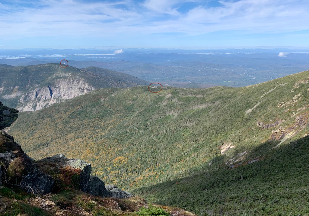
Looking left off the trail, you can see I’ve circled two things. The circle to the left is the summit of Cannon Mountain, which I’ve hiked before and oddly looks so tiny from up on the ridge. The red circle in the center is Greenleaf Hut. After summiting Lafayette, the loop trail descends down to the hut, then down to the start.
Between the summits, it isn’t just a straight level walking path. It’s hard to tell from some of the photos, but you do drop into a col. Low enough that some of the krummolz returns (and then disappears again).


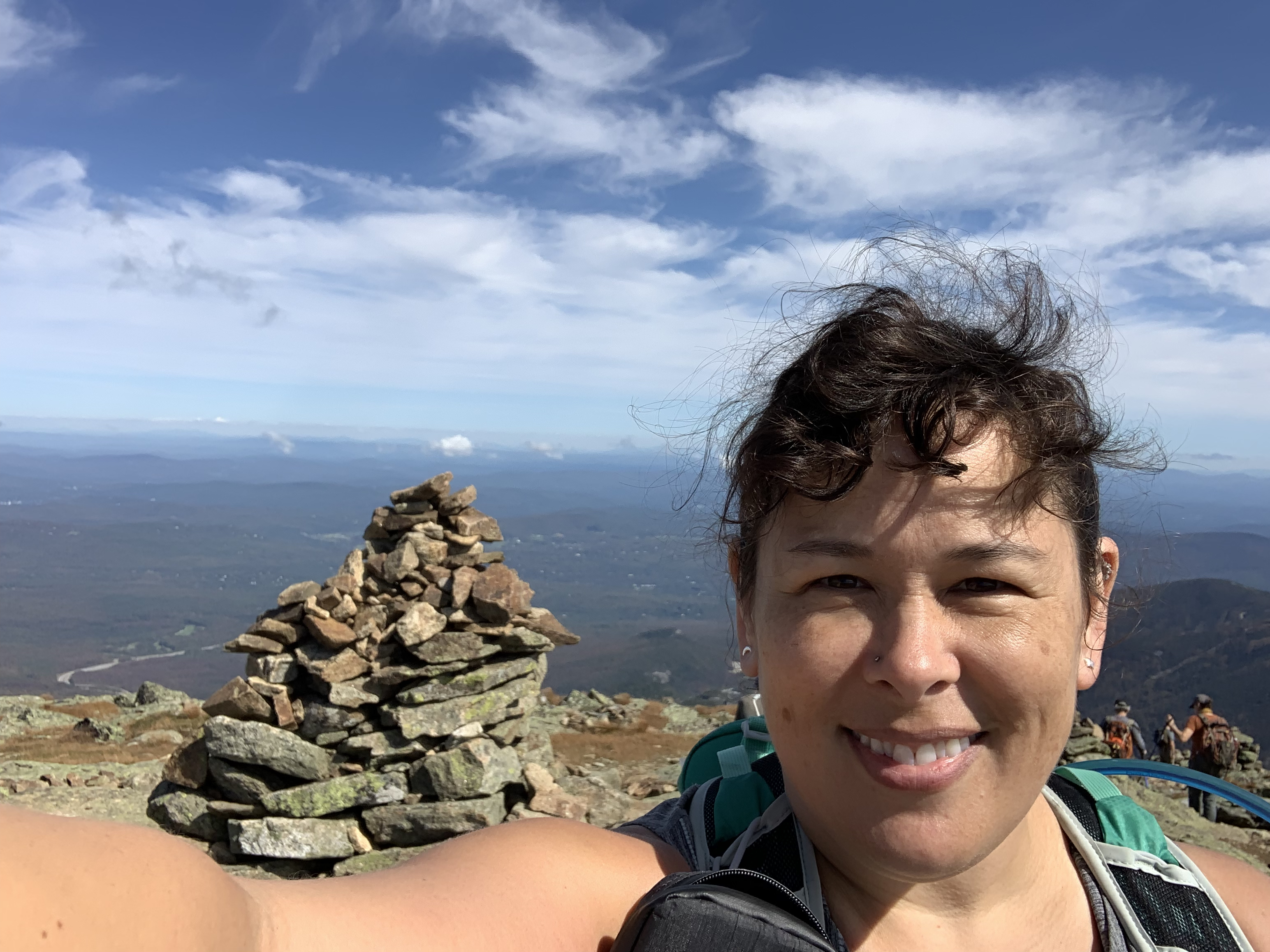

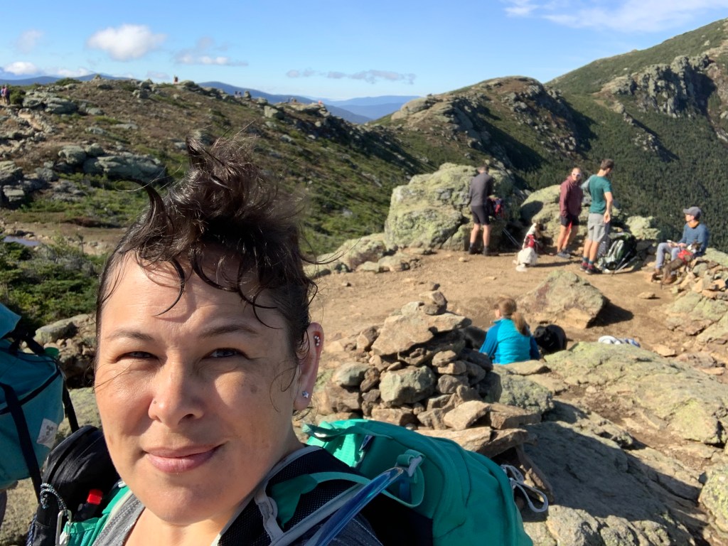
Summit photo, summit selfie, and some summit flowers!
Mt Lafayette, 5,249 feet, and the tallest mountain I’ve summited. And #25 for me of the NH48!
I stopped on Lafayette for some lunch. While I was sitting eating my sandwich, a small group of hikers summited. One of their group called out “We’ve got a 48 finisher here!” and pointed at another hiker. It was really awesome to see.


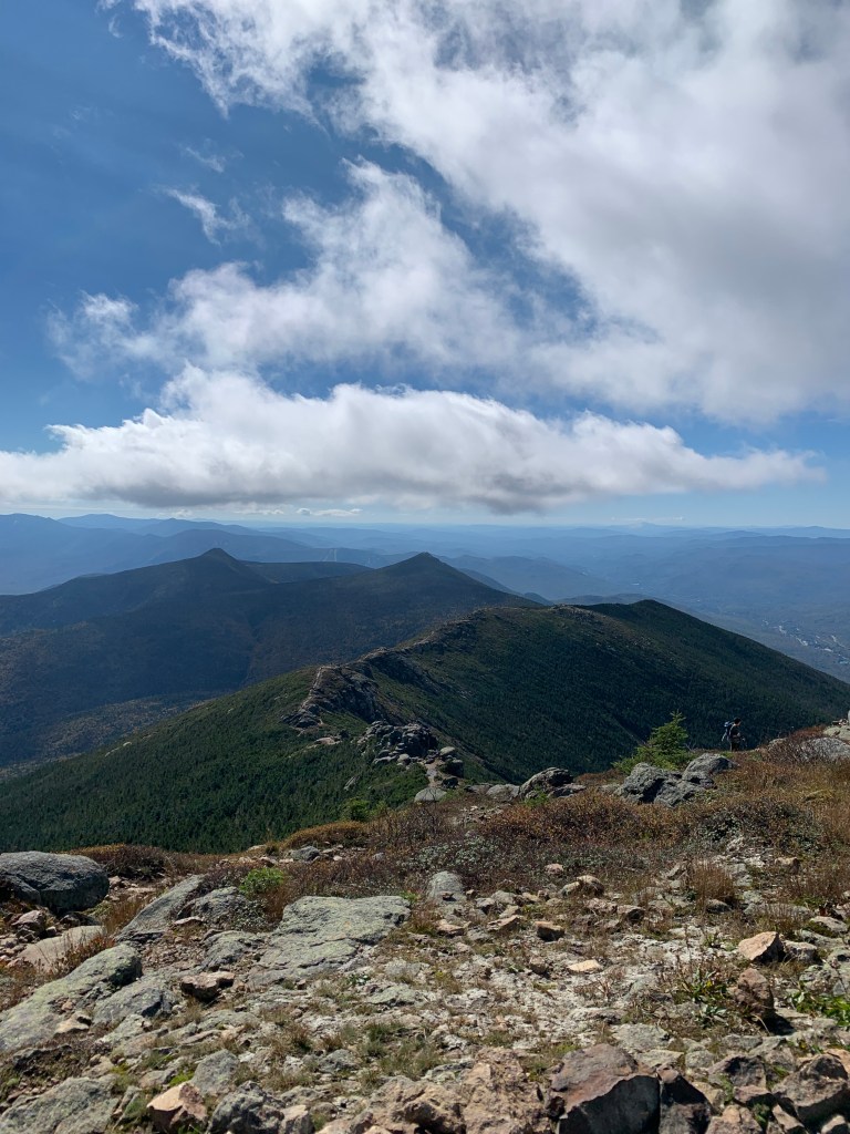
Photo on the left is just part of the view from Lafayette. You can see the ski trails on Cannon and the summit of Cannon again. From this angle, Greenleaf hut is below the Cannon summit in the photo. And that road/parking lot is at the same elevation as the parking lot I’m heading towards next. The photo on the right is another look back at where I came from.
The descent was long and rough. While it didn’t have the water crossings of the ascent, it was just as steep with plenty of wet rocks.
You’ll note there are people in most of my photos. The trail is, as I said, a popular one. I was worried it would be what some refer to as the Franconia conga line, but it really wasn’t too bad on the ascent and on the ridge. On the descent, however it was annoying. I’m used to people passing me, but I’m even slower when descending and others are generally faster. Lots of people on the trail who were passing me, meant lots of time spent pulling aside so they could get by, when at that point you just want to power through and get down the mountain.
The hut was nice, though I didn’t stay long. Used the bathroom and quickly downed two cups of lemonade. Every hike should really have lemonade.
There were lots of groups of teens/college age hikers. Two completely separate hikers in completely separate groups had the AUDACITY to call me “ma’am”. I think I pouted about each one for at least 20 minutes.
I also had multiple people ask me if I was hiking solo. They all seemed to ask in a vaguely, but not overly concerned way. My response (confidence?) seemed to assure them. Got a few “good for you!” in response. Thankfully, none of them were creepy nor warning me that I shouldn’t hike alone.
As is often the case, it seemed I was one of the last people descending. Three people were coming up the trail. They didn’t have much on them beyond water bottles and a paper printout of what looked like a park map (aka not an actual map with elevation and other important details). It was late in the afternoon at this point, so I asked them “Heading up to the hut?” in a hopeful voice. I was worried they were going to try and summit. One of them assured me they were just going up to a nearby viewpoint and then back down.
A bit later, about 30 minutes from the trailhead, I saw a couple. Each of them had a single walking pole and a bottle of water. This was at 5PM. Sunset would be at 6:30, but it would get dark in the trees and in the notch much sooner than that. They were heading UP the trail towards me. Again, I asked in a hopeful voice, “Heading up to the hut?” (though frankly, they didn’t have any gear and I wasn’t even sure they’d make the hut before it got dark). The woman seemed confused. She asked, “where’s the entrance?”. After some discussion, they had gotten turned around where the loop rejoins not far from the trailhead. They thought they were returning to the parking lot when they were actually heading up the mountain. I assured them after nearly 11 hours hiking, they were most certainly NOT going in the right direction for the parking lot. They were very grateful and turned around heading back to the trailhead.
I returned to my car 10 hours and 45 minutes after I left it. Exhausted and elated.
- Total time: 10 hours, 45 minutes
- Moving time: 8 hours, 48 minutes
- Distance: 8.4 miles
- Elevation gain: 3,950 feet (or 2.7 Empire State Buildings)

Great writeup. Just finished it too (unfortunately in the rain) Thanks for sharing.
LikeLike