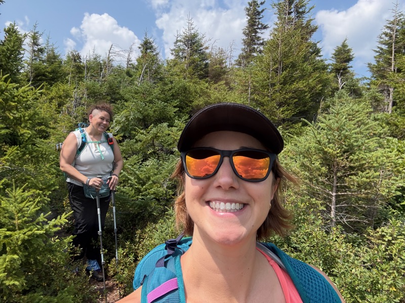
For the second hike of my camping trip, Beth and I wanted to tackle Mt. Success.
I had a few concerns, namely I’d read about “mossy slabs” and ledges with a chimney. Those aren’t my favorite types of terrain, and I was a little concerned about Beth seeing me lose it on them. Rainbow and Right Turn were at dinner the night before and filled Beth in on how to care for a Kathy on the trail.
Before the hike even started, we had to endure an almost 5-mile gravel road. It was pretty washboarded, but not as bad as many of the roads I’ve done before. I’d heard it was really awful, but had recently been evened out. We drove slow and it was fine, although it may have taken a LOT longer than Google maps expected, that combined with our slow morning meant we were starting about an hour later than planned.

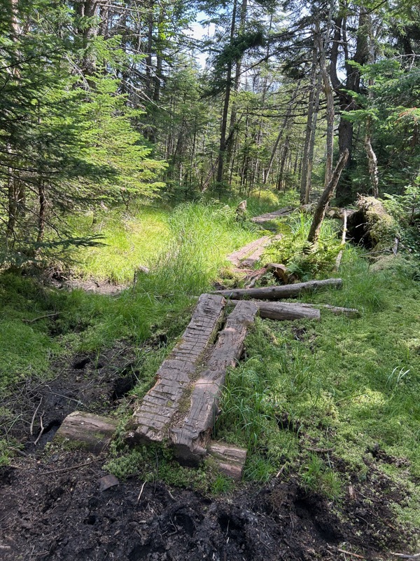
The trail starts off on a gravel road, then crosses a large field.

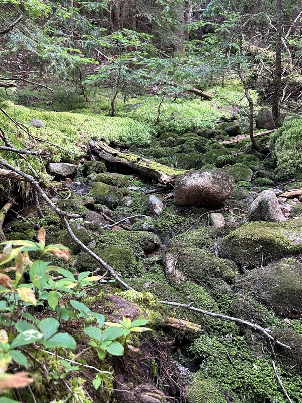
It’s been very dry lately, and water levels are really low. Right Turn said she didn’t even remember any mossy slabs, but I know my own memory isn’t always reliable when it comes to trail terrain. However, the mossy slabs weren’t anything to worry about.
They were dry and the slabs had a rough texture that makes me way more comfortable. Speaking of comfortable, I wasn’t. Ha! It was another hot and humid day. According to my thermometer, 80F and 85% humidity.
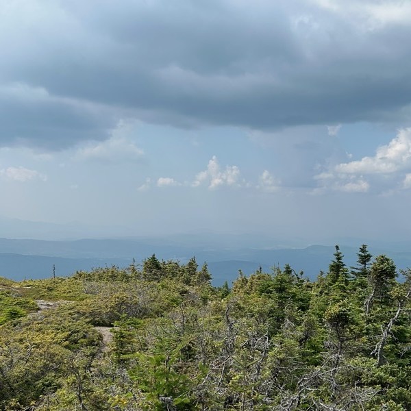
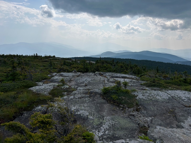
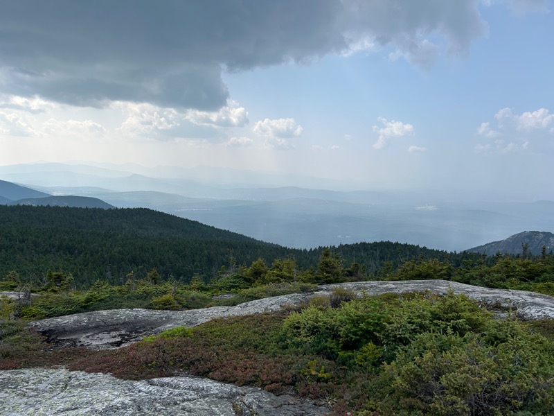
At 1.7 miles, we came to the Outlook Loop. As we followed the loop, we were hit by a wall of heat, and the sun came out strong as we hit the open ledges.
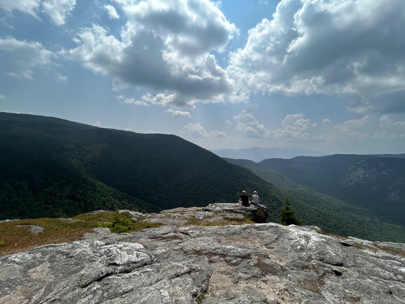

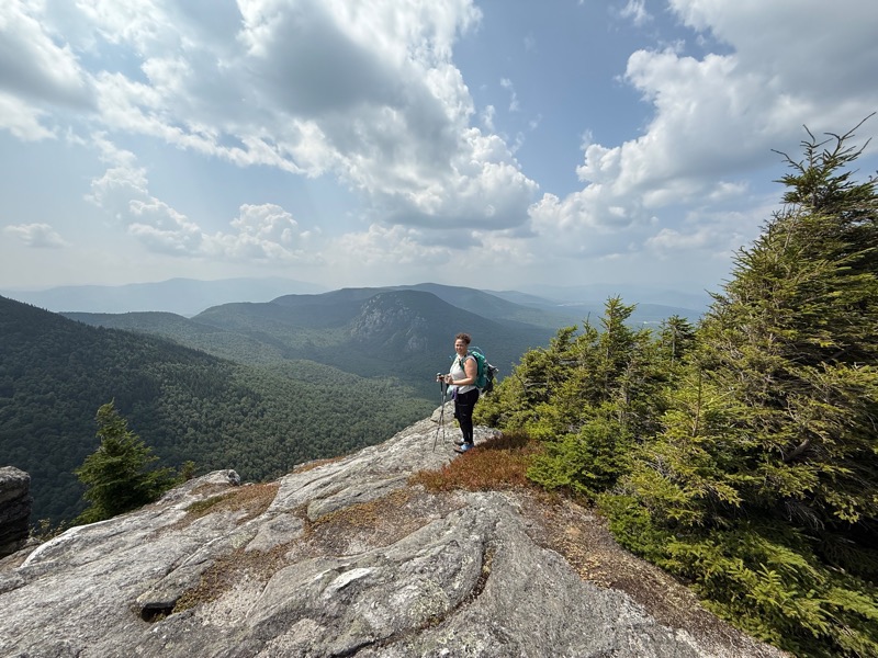
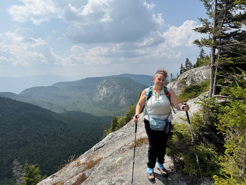
Bottom two photos courtesy of Beth
I wasn’t trying to be a creeper, but the couple on the edge of the ledge helped show the perspective of the view.
As the loop returned to the main trail, it went along a ledge. I often have some fear of heights, especially on ledges. I had read about the “tapping method” for fear of heights, and had done it a few times. I hadn’t really had the opportunity to test it out until these ledges. I started to get the icky feeling from fear of heights, did a couple of taps and told myself I was safe, and boom, I was fine! I was so fine, I got cocky and went near the edge, but one of the rocks made a creepy sound like it was hollow and I moved my butt away from the edge FAST.
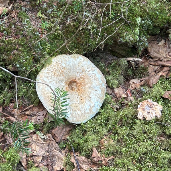
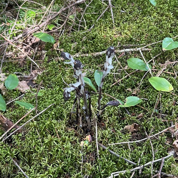
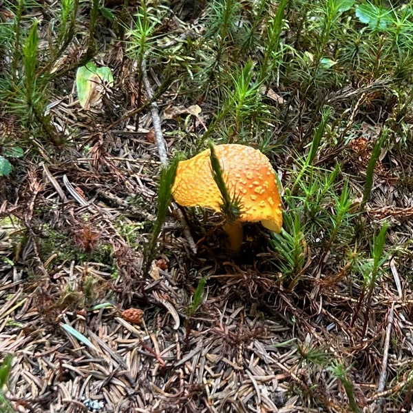
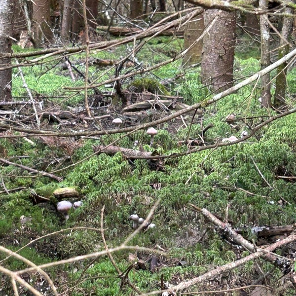
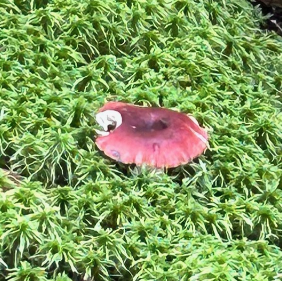
We returned to the main trail. There was supposedly a brook to cross, but we only saw some “murky fly water”. We did see a lot of comfy looking moss and more mushrooms.
Bottom right photo courtesy of Beth
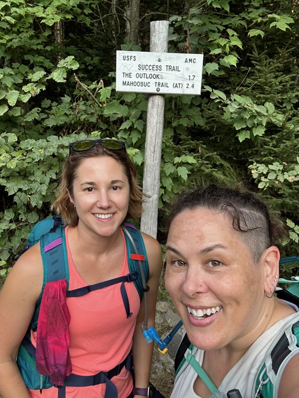
Then we reached the junction with Mahoosuc Trail, which is also the Appalachian Trail.

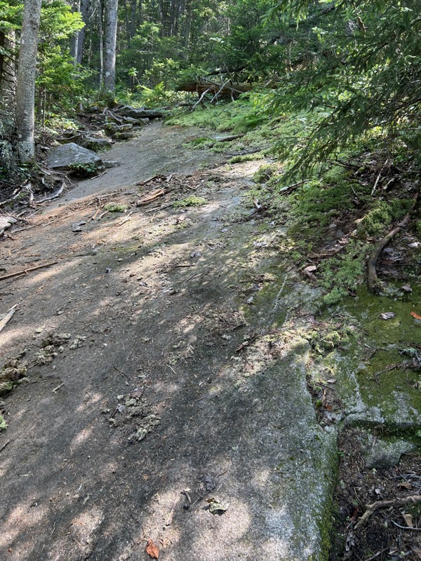
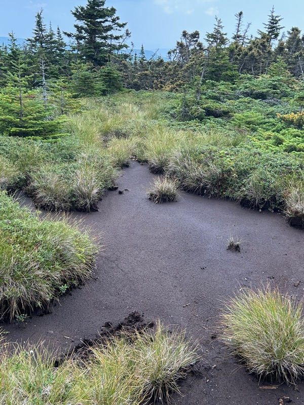
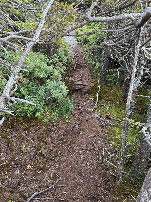
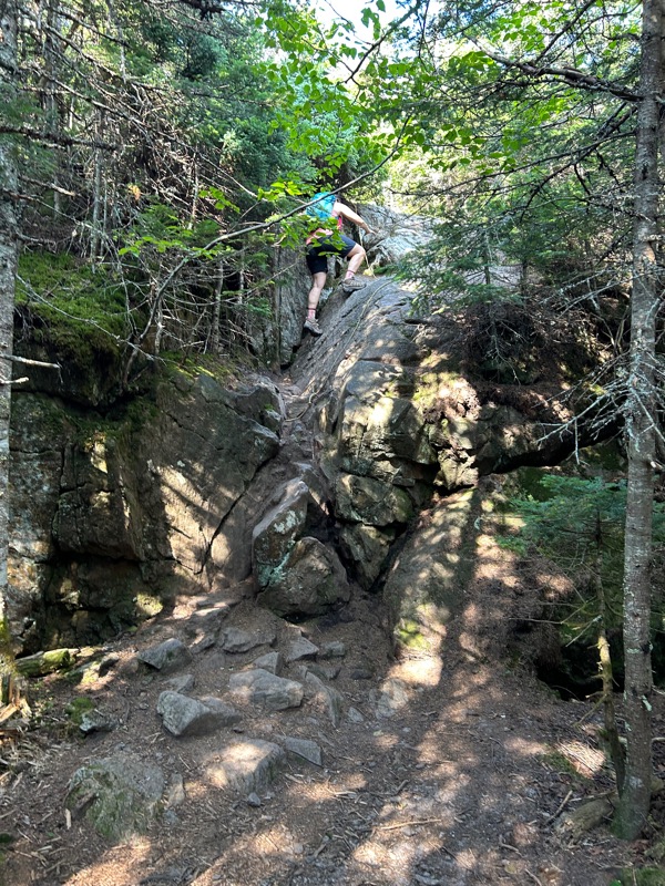
The trail has a lot of variety and different terrain.
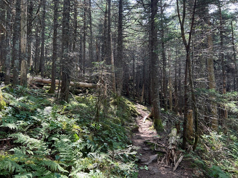
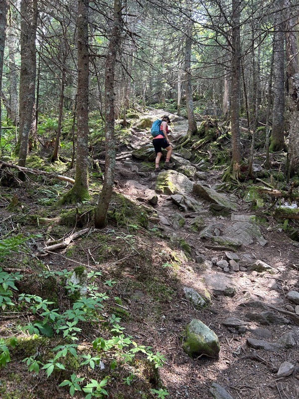
There were nice flat, rock free bits, and then steep rocky climbs.
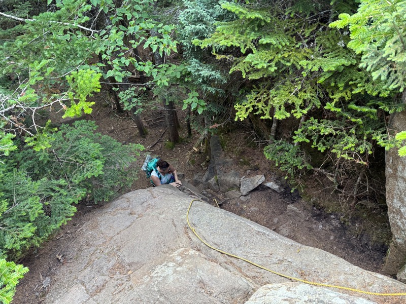
We continued on and reached the chimney. From this direction, we went down the chimney. There was a rope, but it didn’t really seem useful. I didn’t love the chimney, but I managed it after tossing my poles and pack down to Beth who went down first. Pictures will be coming up when we ascend the chimney.
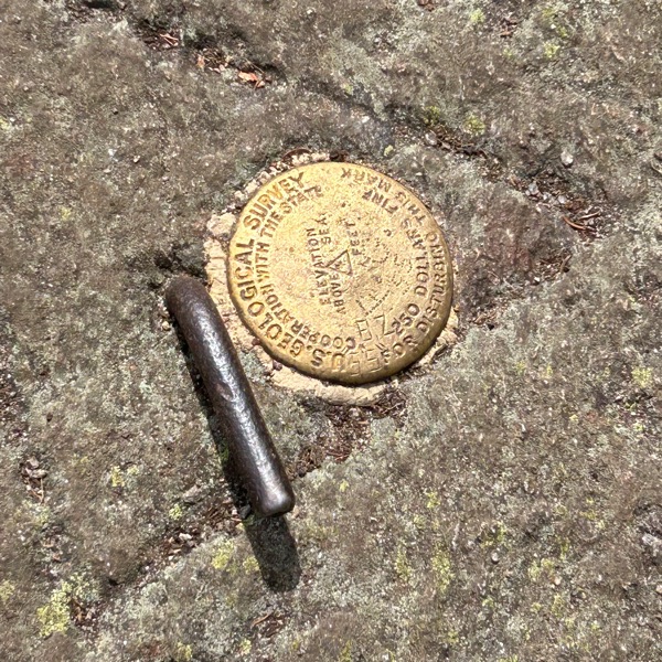
Then we hit the summit.
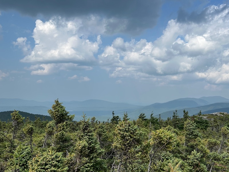
The views were nearly 360, and despite the haze, still amazing.
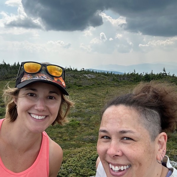

We had a snack. I changed my socks (best feeling ever). We chatted with a section hiker. It sprinkled briefly, which felt great.
I knew there was a plane crash not far from the summit. We discussed and decided to go check it out. It’s not officially on the map, but there’s a pretty well-beaten herd path.
In November, 1954, a flight left Laconia, headed for Berlin (NH). Seven people were on board, including the crew. It was snowing, and the plane was hit by a downdraft. The pilot pulled up, and the plane crashed. All seven people survived the initial crash. The co-pilot and another crew member succumbed to their injuries. For 45 hours, the remaining survivors waited for rescue, when they were spotted by a helicopter.
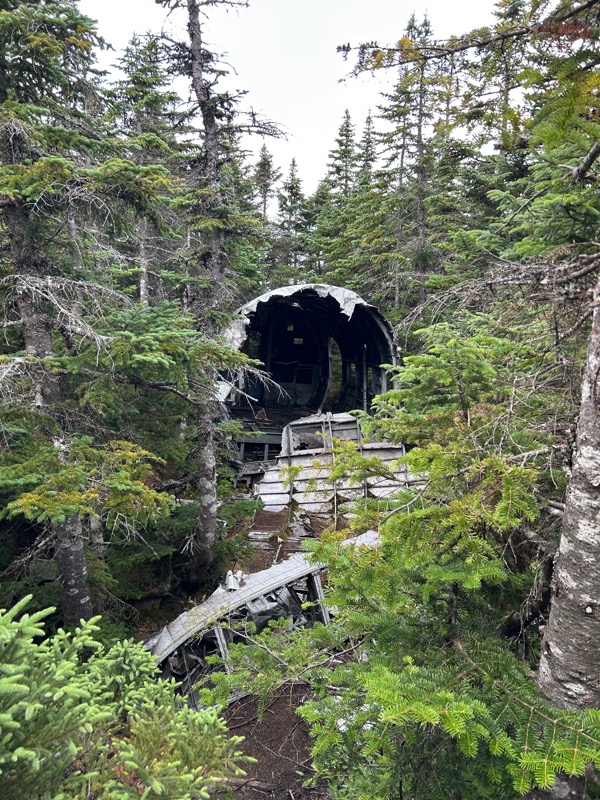
If you choose to visit the crash site, please respectful.
After that, it was back to the summit, and back the way we came, and the chimney.
Beth went up, no problem. Then it was my turn.

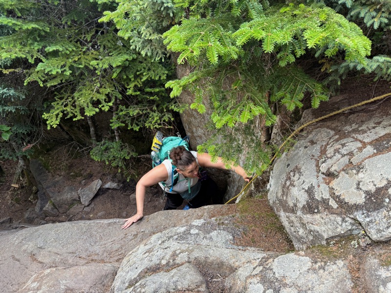
It wasn’t the most graceful ascent of the chimney, but I did it. Much swearing and hollering occurred, but I did it. (Photos courtesy of Beth, obviously).


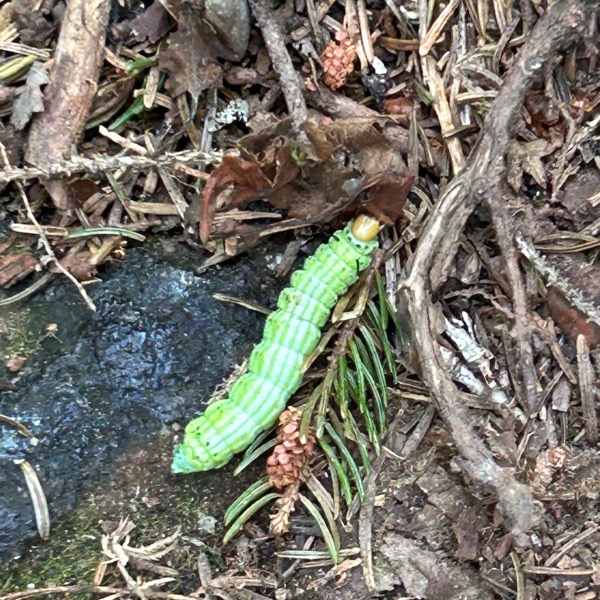
More mushrooms and MOOSE POOP!
After a long, hot day, we made it back to the trailhead.
A little tired looking, and a little sweaty, but we did it.
- Total distance: 6.8 miles
- Elevation gain: 2,098 feet
- Total time: 8 hours, 1 minute
- Moving time: 6 hours, 27 minutes

[…] woke up Saturday, and Beth and I were off to hike Mt. Success, while Right Turn and Rainbow went for a bike ride. Right Turn and Rainbow left after their bike […]
LikeLike