Awestruck and I were itching for a hike (the rest of the gym squad wasn’t available). Our last hike was in January (and I still haven’t written that blog post)! Weather, schedules, life, etc got in the way. We were determined to hike, although even this hike was a reschedule due to weather.
Now small side note, Awestruck and I, being gym buddies, are currently training with others from our gym for a Hyrox competition. So, start the excuses list, we had a big Hyrox workout on Saturday. Then I ran a 10k on Sunday. Then our gym had it’s big (and tough) Memorial Day workout on Monday. And then we decided to hike Tuesday. And not just any hike, but a 9.5 mile hike with 3,550 feet of elevation gain, for our first hike in four months. Possibly not my best decision. BUT I Swear I Remembered This As a Chill Hike. I remembered doing it last time and it was “tough but enjoyable” . Anyway, so we were already tired and probably bit off more than we could enjoyably chew. Add to that, the forecast was for a nice warm, sunny day, but with some wind, which would be perfect. Spoiler alert, it was hot and buggy. End excuses list. Ha.
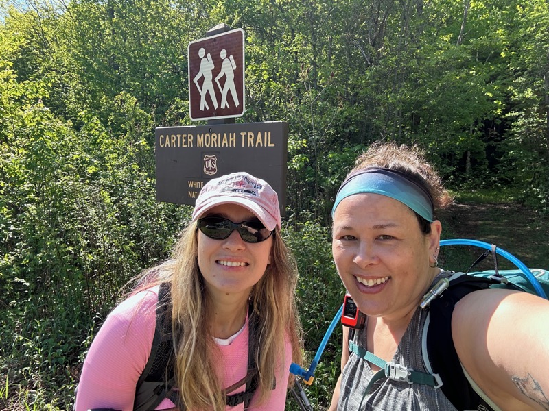
Awestruck drove and we parked in the small pull off area for parking. It seems since the last time I was here, they’ve moved the trailhead to start at the parking area, rather than the end of a residential street. It makes sense to annoy residents less and doesn’t significantly change the mileage.
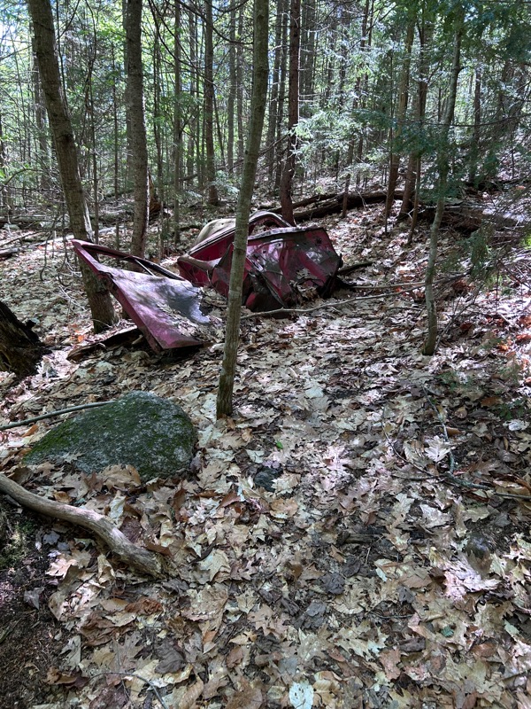
The trail starts off immediately steep. Not far along and Awestruck realized she forgot her knee sleeves and she ran back to the car to get them. Not much farther from that, I had to stop to pee. I coincidentally stopped near this red tractor (? car?) in the woods, which would become an important milestone on our way out.
The early parts of the trail are steep, but the actual trail itself is quite nice. Mostly clear of rocks and roots, and wide. Of course much of it is an old logging road, which explains the cleared nature of it.
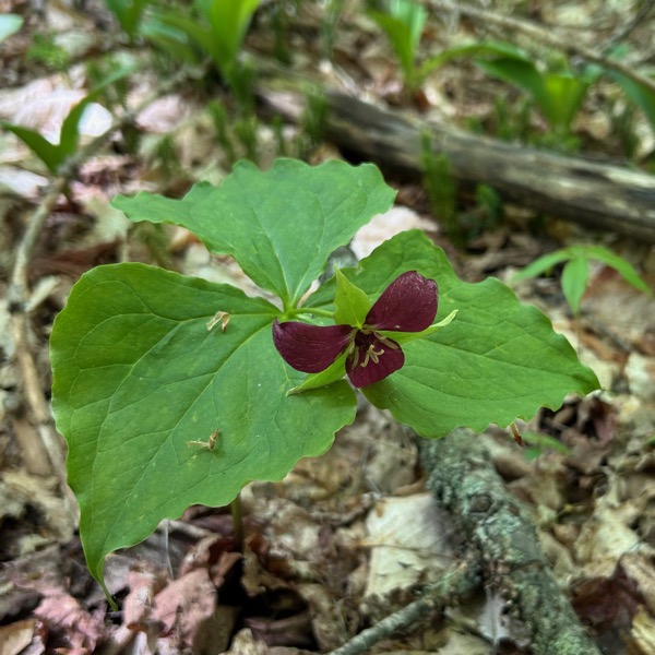
Unlike last time, which was in July, there was very little in the way of flowers or fungi. We did see this cute little baby trillium though.
We then came to the granite slabs. As I recalled (and in this recollection, I was correct), the slabs are big and long, but mostly textured, so they aren’t as scary as some other trails. You can mostly walk right up them. A few of them meant I would go along the edge and grab a tree, but for the most part they were just “butt burners”, aka steep walking for long enough that your glutes are on fire.
Then you come to some ledges with lovely views.
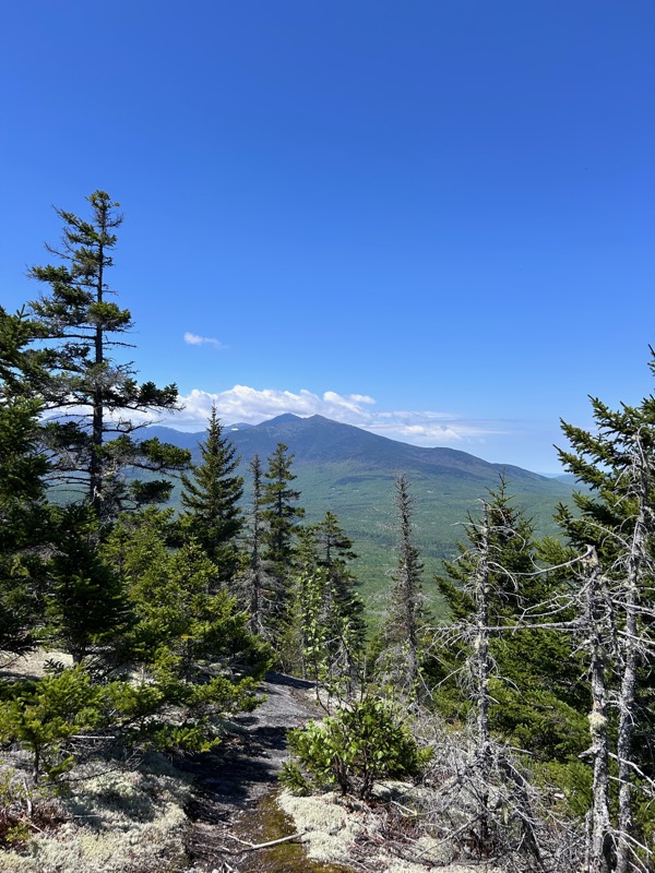
We took a break here. We both had hoped for (and waited for) a nice, sunny day. However, it was definitely hotter than the summit forecasts had predicted. And as mentioned earlier, no wind. No wind meant it felt hot AND it meant that the bugs were worse than we wanted. Of course they always seemed to go RIGHT in your ear the moment you were on a sketchy slab and needed to concentrate on your footing.
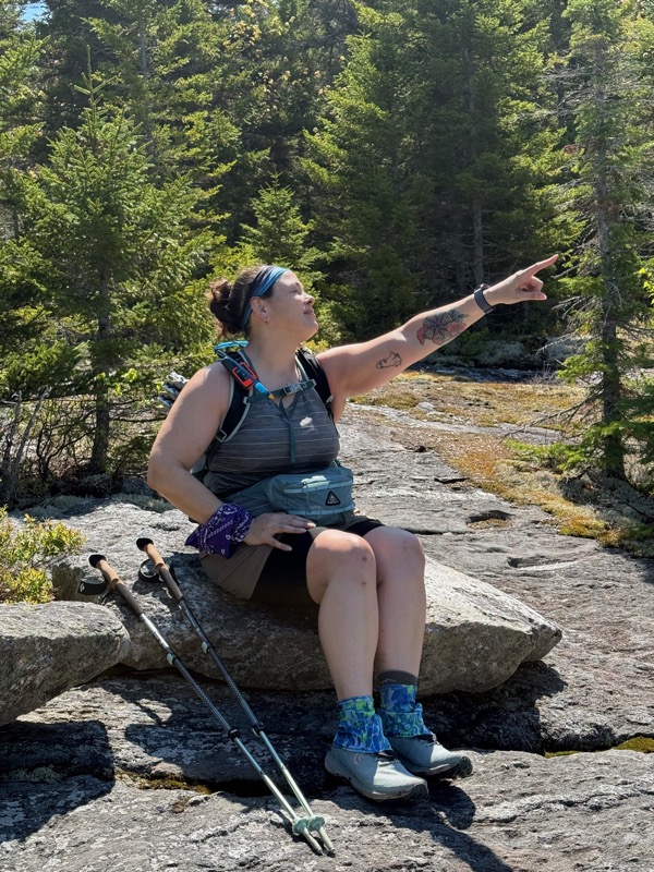
Sometimes you just gotta do dumb poses to entertain yourself.
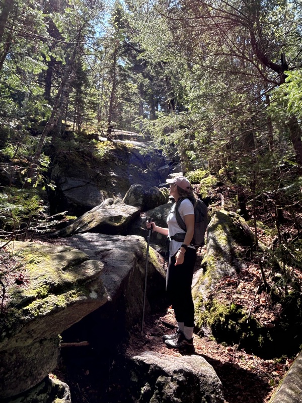
After the ledges and slabs, the trail somehow gets more steep, with way less enjoyable footing. Awestruck here helping show the steepness of the trail.
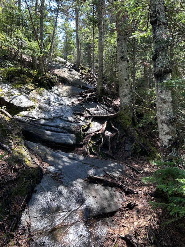
It is very pretty, even if it’s steep. This bit felt like I was in Lord of the Rings.
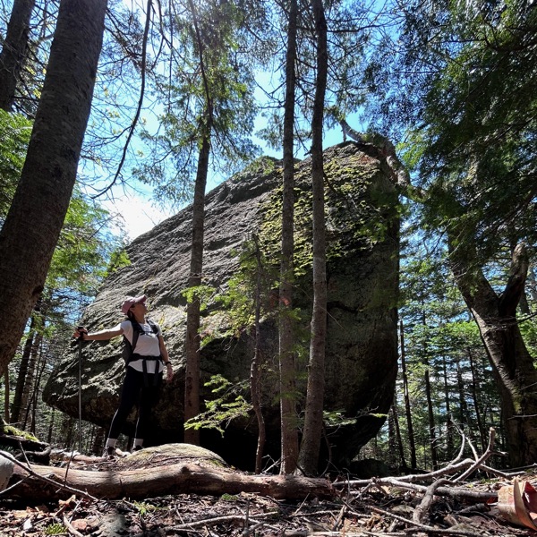
Again, thank you Awestruck, for providing perspective on this glacial erratic.
It was then quite a bit of drudgery to get to the summit. Steep, buggy, sweaty, rocky, rooty trek. While we were chatty at the start of the hike, we went into quiet mode and “just get there” mode. Finally, finally, we saw this.
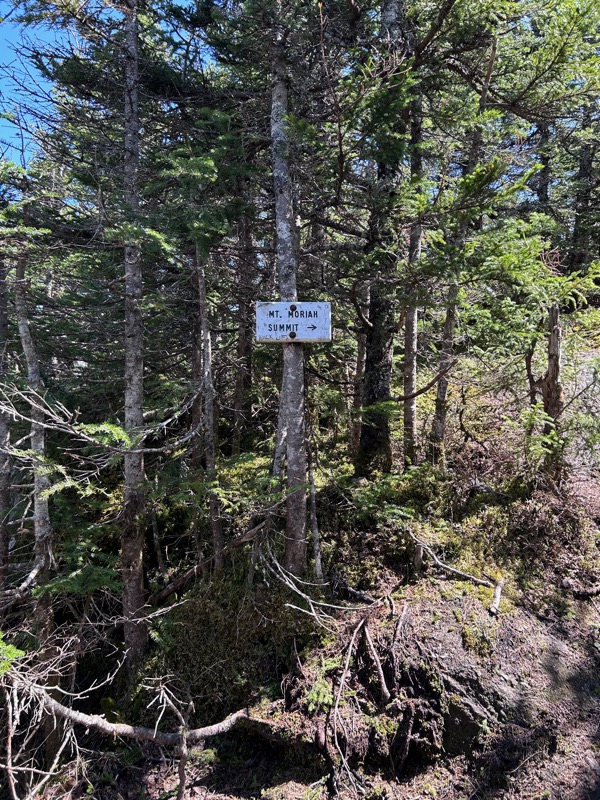
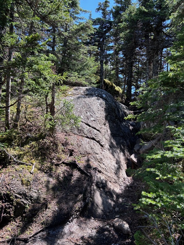
The short spur to the summit of Mt. Moriah. Awestruck was ahead of me and I just heard “WOW! WOW!” So I think despite the tedium, I picked the right hike. Awestruck declared this her favorite summit so far.
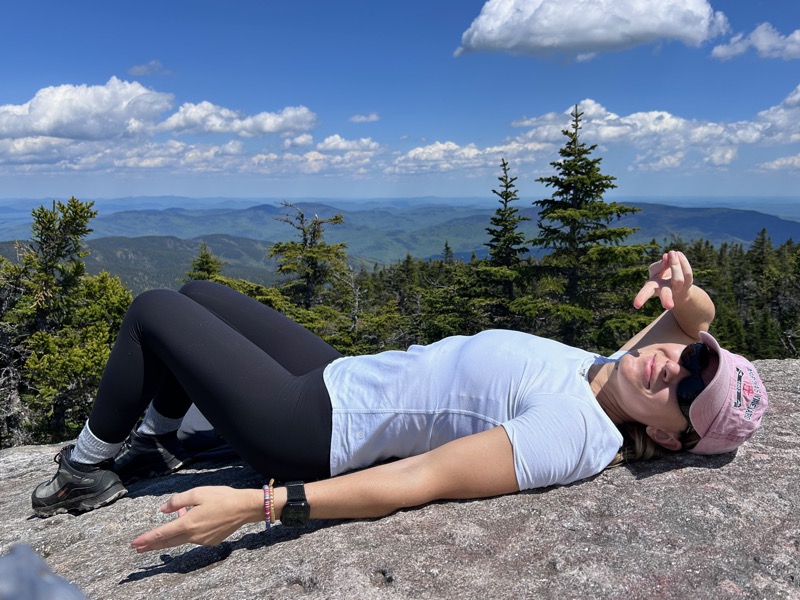
We had the summit to ourselves (thanks to it being the Tuesday after a holiday weekend). And Awestruck took the opportunity to lay down.
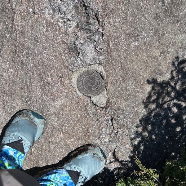
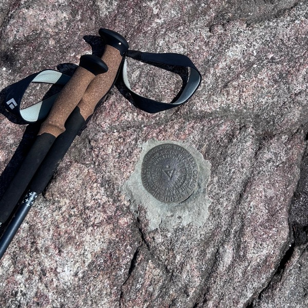
For some reason there are two survey markers (and also one of the metal “stick” markers) on the summit.
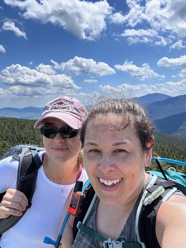
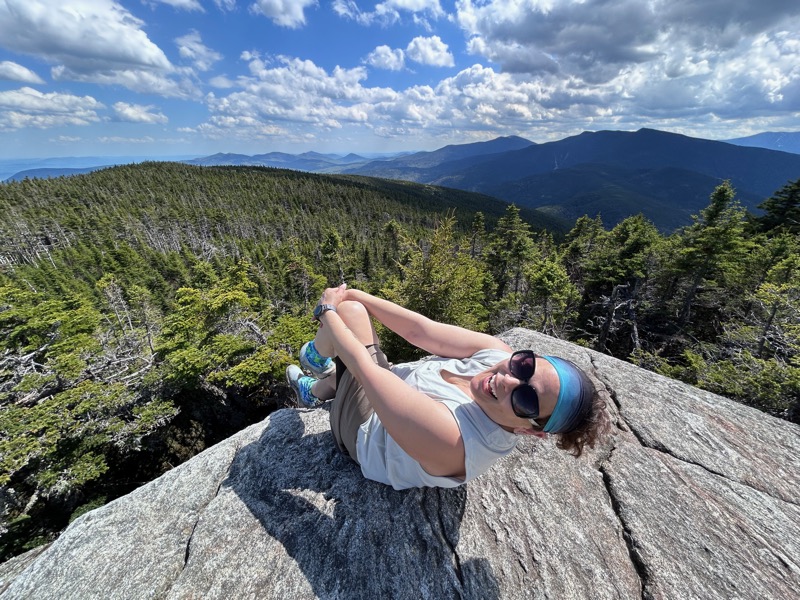
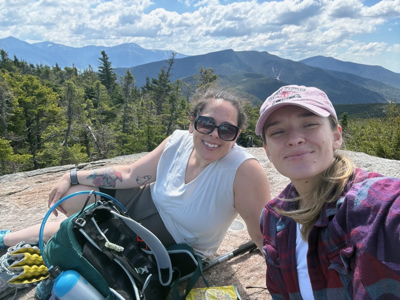
Summit selfies
We enjoyed a nice break at the summit. One other hiker popped up just for a moment and looked around, then left. We only saw three other hikers the entire day. Two folks that had started before us and we saw them on their way down. And one hiker that passed us on both his way up and down. Ha!
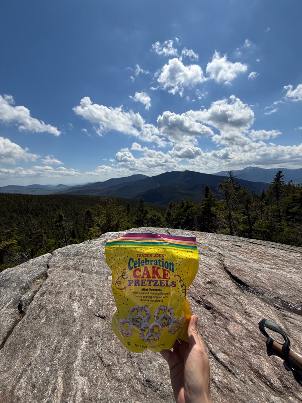
A few weeks earlier, I was out of town and missed the celebration dinner for Awestruck’s birthday. So I secretly brought these to the summit, sang Happy Birthday, and pulled out two nips to celebrate. (We missed you, Bartender!)
Sunblock and bug spray reapplied. Socks and shirt changed. Food eaten. Water drank. Time to descend back to the car. I’m not going to lie, it was tough. It was strange though. On the one hand, many of the things that normally hurt on the descent for me, like my feet, felt great. I even said at one point, I felt pretty good. But on the other hand, there were moments when I just felt like my body was incapable of moving forward. We definitely went into silent mode for a bit.
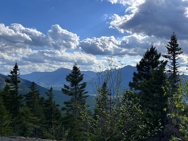
Back to the ledges/slabs and Mt. Surprise.
At least I knew that even though we had to descend a bunch of granite slabs, the footing would greatly improve from here. And it did, but it still felt like we had been hiking for 200 years. I reminded Awestruck that the red tractor would mean we were close, and we both were glued to the right side of the trail just hoping to see that thing. We finally, finally saw it, and somehow even from there to the car seemed to take forever. But we finally made it.
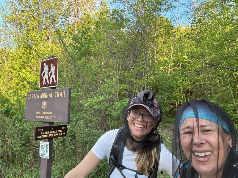
As you can see, we got tired of the stupid bugs flying in every head hole, and donned our bug nets.
Some interesting stats (at least to me). The original trail is 9.0 miles roundtrip (officially). According to the sign at the new trailhead, the re-route appears to add 0.4 round trip. So, in theory our hike was 9.4 miles round trip (according to maps and actually measured distances, not phones and satellites).
According to my Garmin InReach, it was 9.58 miles. According to the Gaia app on my iphone, it was 8.86 miles (and 8.91 the last time I hiked it). According to my new Garmin Venu 3S watch, it was 10.55 miles. The variability all makes sense as the InReach, Venu, and my phone all use satellites, with variance in how often they check/log position. They can miss a twist in the hike if they don’t log it, shortening the distance. They can also mistakenly log you as somewhere you aren’t, which then adds distance you didn’t really do. Since my Venu logged a top speed of a 7:06/mi pace at one point, I’m going to guess it mistakenly logged me somewhere I wasn’t!
Anyway, I believe this was #13 for Awestruck!
- Total distance: 9.4 miles
- Total elevation gain: 3,550 feet or the equivalent of climbing the Empire State Building 2.5 times
- Total time: 10 hours, 15 minutes
- Moving time: 7 hours, 59 minutes


The view of the Celebration Cake Pretzels is pretty awesome… not a bad background either. Haha
LikeLiked by 1 person