Right Turn and Aimless had been planning a camping/hiking trip. Aimless is nearing completion of the 52 With a View. There are a few short hikes that are way up north. It never seems worth it to drive three hours each way for a two hour hike. So they were going to camp up north and get a couple of hikes in. They invited Rainbow and myself to join.
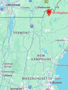
Mt. Magalloway is closer to Montreal than to Boston by about 100 miles.
The plan was to meet up at the Copper Pig in Lancaster, then drive up to Colebrook and Coleman State Park.
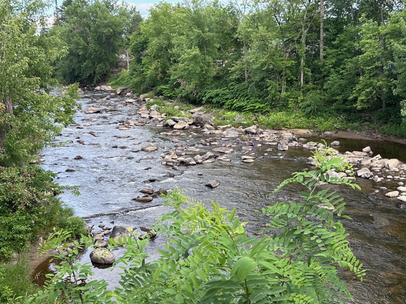
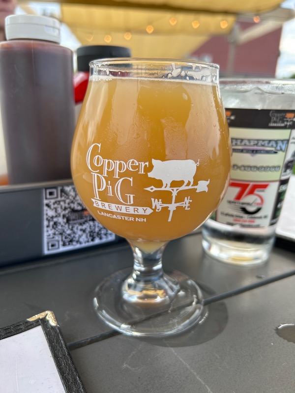
We sat outside at the Copper Pig, which is right on the water and we saw a bald eagle fly by! Too fast for me to pull out my phone and grab a pic.
From there, we drove up to Coleman State Park. Rainbow reserved a cabin for herself and me, while Aimless and Right Turn were going to camp.
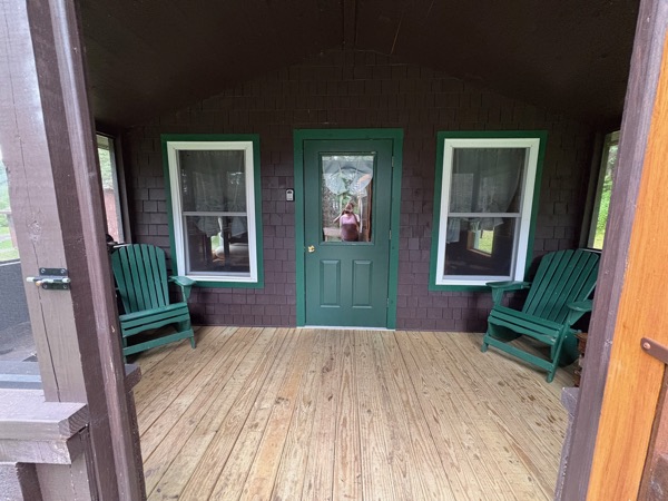
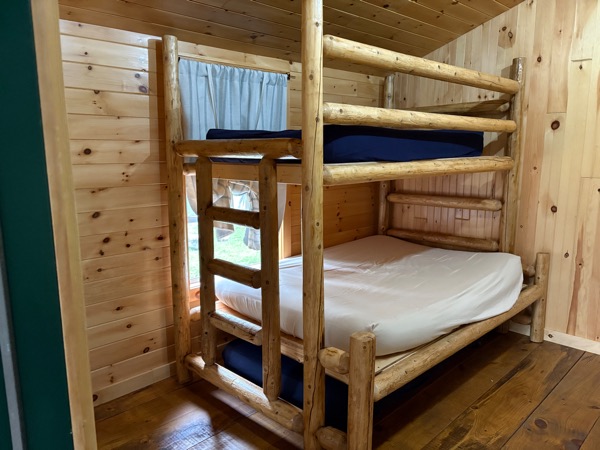
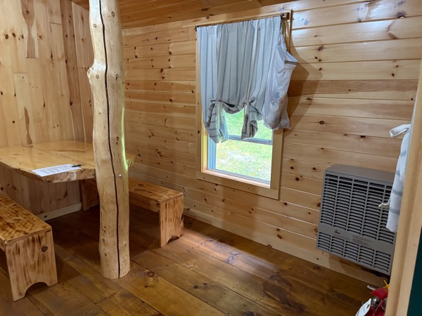
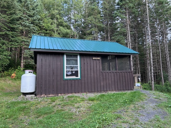
The cabin was really nice! Two bunk beds, a table, and heat in winter. There was a screened in porch. Outside a picnic table and a fire pit. We had our own water spigot, and nearby there was a pit toilet. (Not glamorous, but surprisingly clean).
We all got settled, then Rainbow and I headed over to Right Turn and Aimless’ camp site for a short fire before bed.
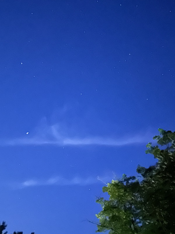
The skies were clear, and thanks to little light pollution, we were able to see tons of stars. We also saw a LOT of satellites.
The next morning, we woke up and checked out Little Diamond Pond, which is part of Coleman State Park. We heard lots of loons. Between that and the cabin, I kept making Heated Rivalry jokes in my head.
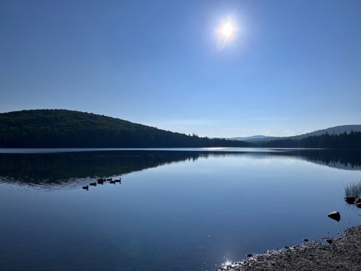
We all piled into Right Turn’s car and headed out.
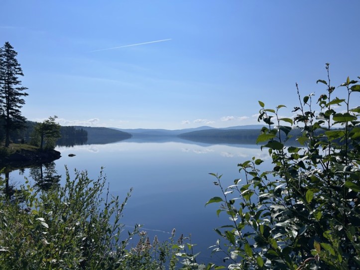
We pulled over to a scenic overlook and had to snap some pics of Lake Francis.
Aimless and I need our morning coffee, so before we had left the campground (which had wifi, cell reception is incredibly spotty in the area) we looked up coffee shops on our hour-long drive to the trailhead. We also plugged in the route on our phones before we left. Our first stop was a well-rated coffee shop, the Coffee Can, which turned out to be some guy’s house where his food truck was parked (and definitely not open). Our runner up was the Green Acres Country Store. Thankfully we had a brief moment of cell reception so we could plug in directions there. It turned out to be a mile or so down a road off the main route. As we pulled up, we saw a LOT of pick up trucks and ATVs. Then we noticed 6-8 guys sitting on the front steps. Not going to lie, we were a tiny bit nervous about approaching. They turned out to be friendly, and the store was run by all women. Pros: one of the best breakfast sandwiches I’ve ever had. Cons: the coffee was just a Keurig machine. Breakfast and “coffee” done, we headed off to the trailhead.
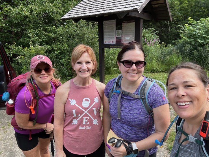
Aimless, Right Turn, Rainbow, and myself
You might notice Right Turn doesn’t have a pack on, and she’s not in our summit selfies, not because we didn’t want her in the pics, but because she was our Trail Mom on this trip! So appreciative that she toted us around for the day.
Magalloway is a short hike, but STEEP. It gets right to it and just goes up. It’s one mile up and 900 feet of gain. That’s about the steepest it can get without actual mountain climbing.
Fun note that I rarely get to make on a hike, we passed two separate groups of hikers. One was a group of three guys, younger than us. One was a mother/daughter hiking duo.
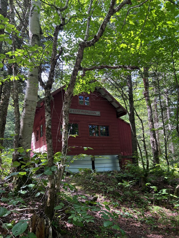
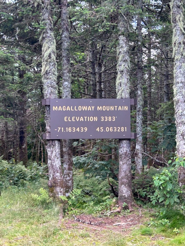
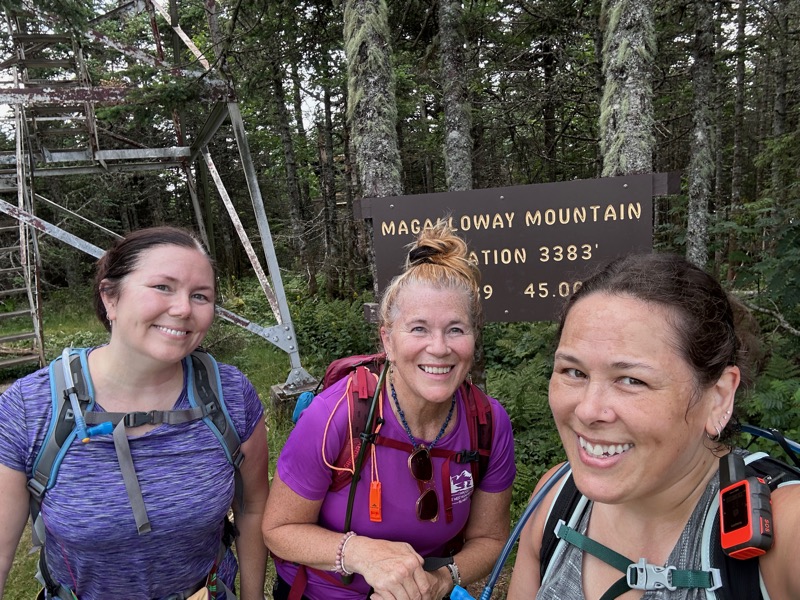
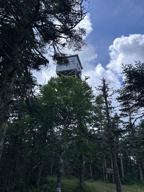
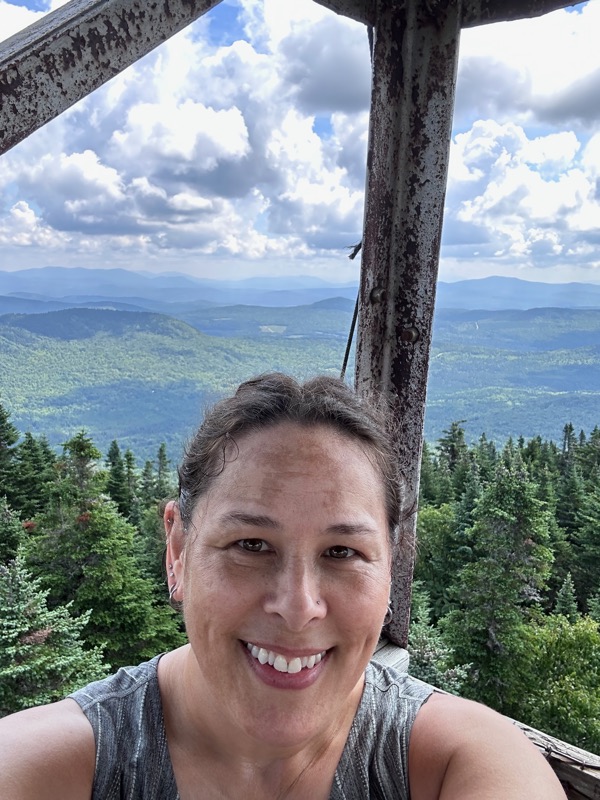
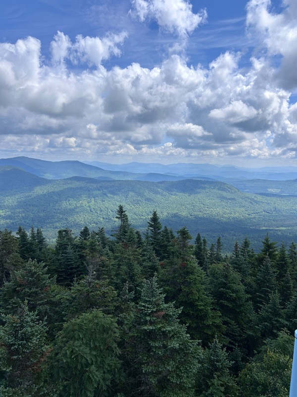
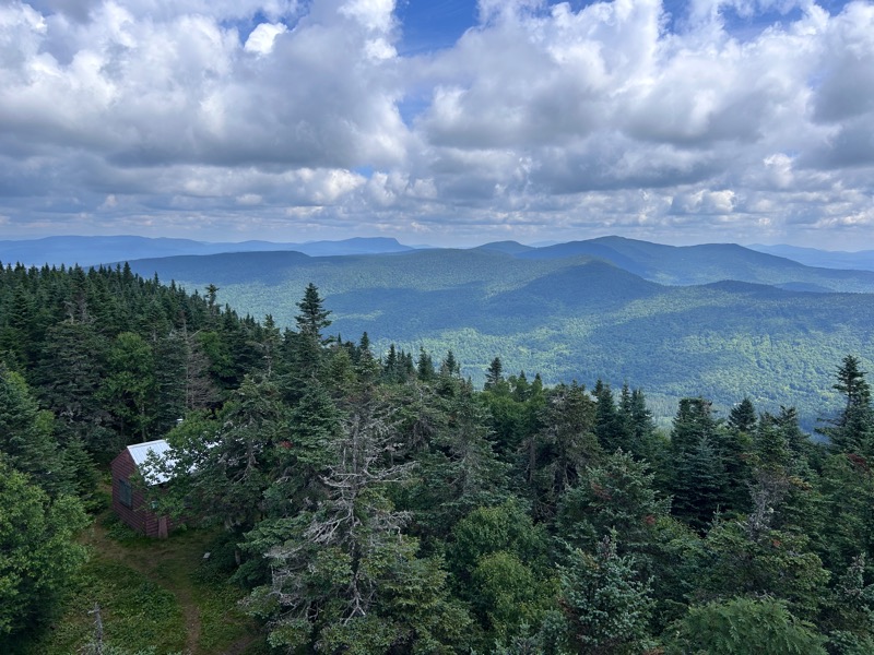
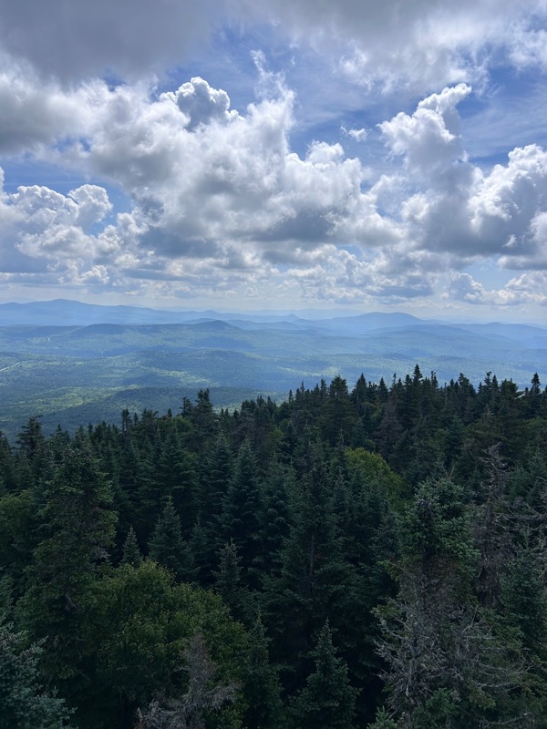
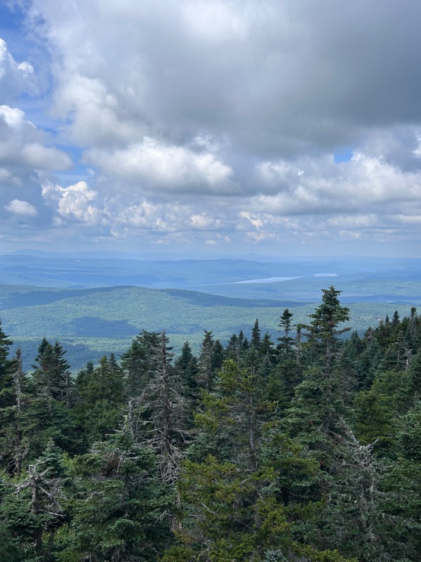
There’s a cabin right near the trailhead and a firetower at the summit. We climbed to the top of the firetower and enjoyed the views and the breeze! It was fun to use Peak Finder to identify the summits we could see, and a bunch of them had French names since we were so close to Canada. There’s another cabin at the summit, I assume for the person working in the firetower, but I neglected to take pictures of it.
Just behind the cabin at the summit, is a spur trail to some ledge views.
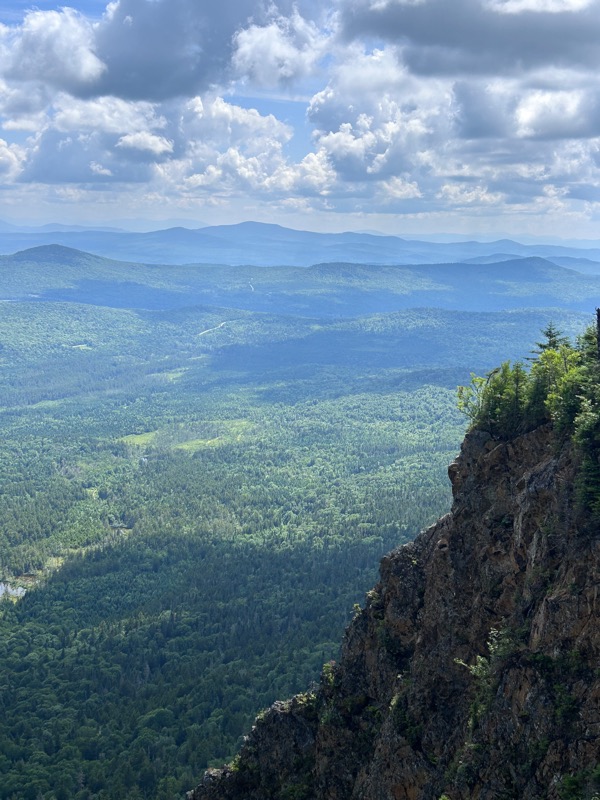
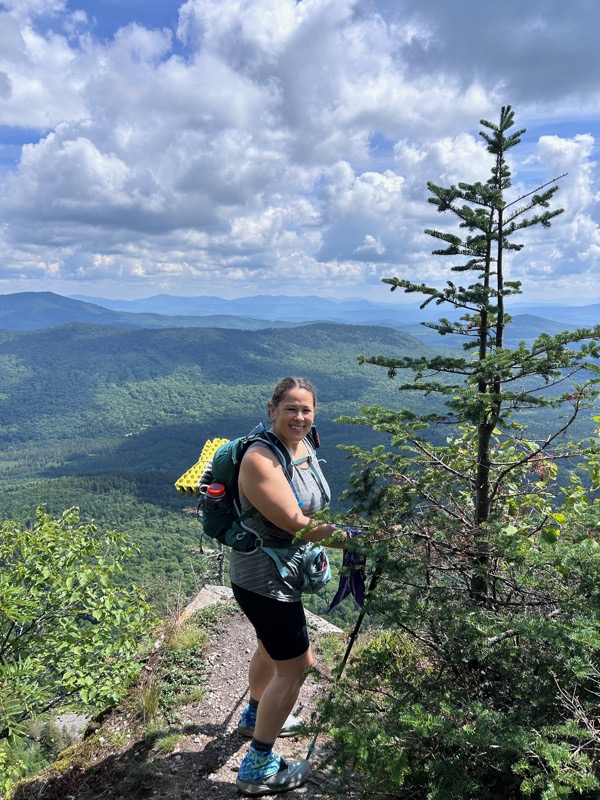
Could one walk to the edge and take a photo? Yes. Did *I* walk to the edge for a photo? Hell no. Here you see me holding on to that tree for dear life.
We walked back to the tower and began our descent.
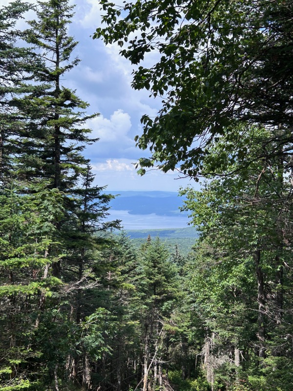
We came to a junction, and luckily I had read that the Bobcat trail would provide a slightly less steep descent. I wasn’t really looking forward to slipping on a loose rock on my way down, so that was nice.

On the way down, we saw the mother/daughter duo stopped. The mother asked if we knew what kind of snake this was and if it was dangerous. I started going on about how there is only one venomous snake in New Hampshire and it’s endangered, and this wasn’t it. Amusingly, I don’t think she spoke a TON of English, so she kind of got the gist and passed the snake. Or she just didn’t care about my dumb snake information. Ha!

Back to our Trail Mom and the trailhead. And this lovely photo with the toilet in the background.
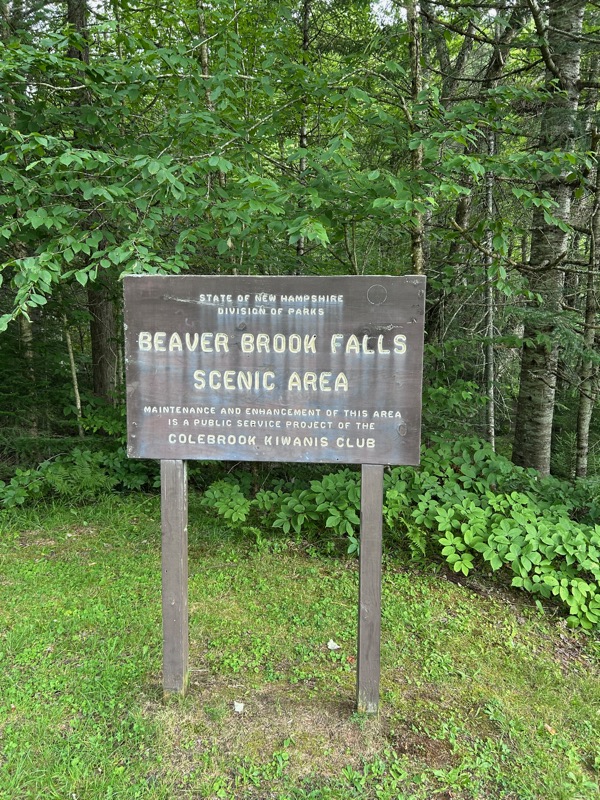
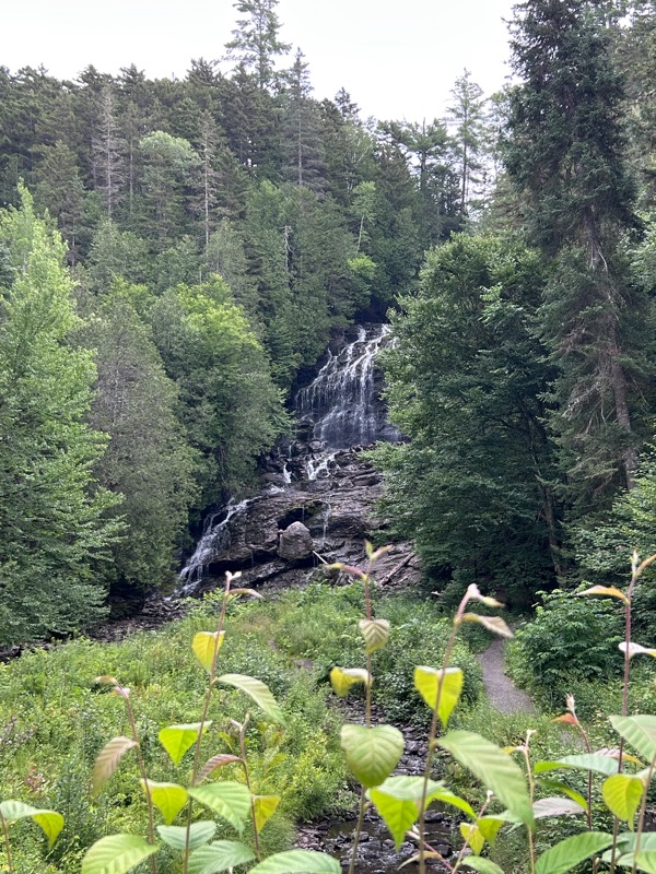
On our way back to camp, we saw Beaver Brook Falls, and made an impromptu stop. Lovely and a nice little stop.
Back to camp for a quick change and lunch, then we would be heading out for our second hike of the day. (In the next post)
- Distance: 2.2 miles
- Elevation gain: 900 feet
- Time: 2 hours, 2 minutes

