On Sunday, Aimless and I were planning to hike Sugarloaf Mountain in Stratford (different than Middle Sugarloaf), another 52 With a View. Again, we were staying at Coleman State Park and there is ZERO cell reception anywhere in the area, so we made sure to get directions at the campground wifi. Two important notes here. First, we were no longer riding with Rainbow and Right Turn. Aimless had left her car back in Lancaster, so I was driving us in my MINI Cooper. Second, Aimless and I both had very different ETAs when we plugged in the coordinates for the hike. I had looked it up before, and it should have been less than an hour. Aimless’ phone said something like an hour and twenty. Mine said 45 minutes or something similar. I assumed her phone was wrong. You know what they say when you assume.
So we departed Coleman State Park. Google Maps then said to take a left turn, which seemed oddly residential. But without much cell reception, I followed it, since I knew it might not be able to “re-route”. Another turn, and then unpaved road. Not great, but okay. Then that unpaved road led to another, worse, unpaved road. There were no houses around. A sign indicated we were next to a wildlife refuge. Then there were weird handmade signs about slowing down. Then a big house with a SCARY ASS CLOWN painted on the garage and the words “I SEE YOU”. Then, yet another turn onto an even worse unpaved road. It was at this point I decided we were turning around and going to try and find our way back to civilization and cell service. We were NOT going to get there from here. And if something happened to us our my MINI, we wouldn’t even be able to get a phone call out. I did comfort myself some, knowing I had my Garmin inReach and could have sent an SOS if needed.
Anyway, tracing our way back to a paved road, Aimless was finally able to get a signal, and we re-routed. Note to self, Google Maps doesn’t have a setting to avoid “unpaved roads”. Aimless’ phone was correct. Mine was wrong. I have since looked for the route it took us and we never would have gotten to the trailhead. I think it was just taking us to the closes access to Sugarloaf Mountain, not to the actual trailhead. I’ve since switched to Waze (which DOES have a toggle for unpaved roads), and will be more careful about my destination selections.
We did legitimately have to go down an unpaved road to get to the trailhead, but it was short and expected, in good condition, and no sketchy clown houses.
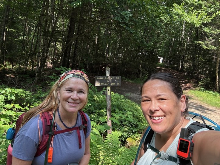
The theme of the weekend was short and steep, and this was no different.
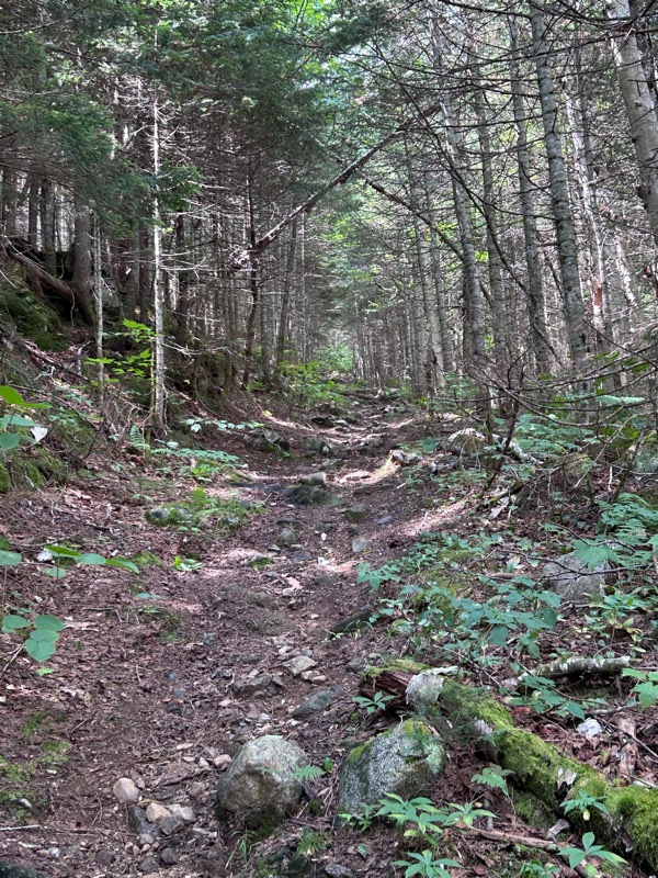
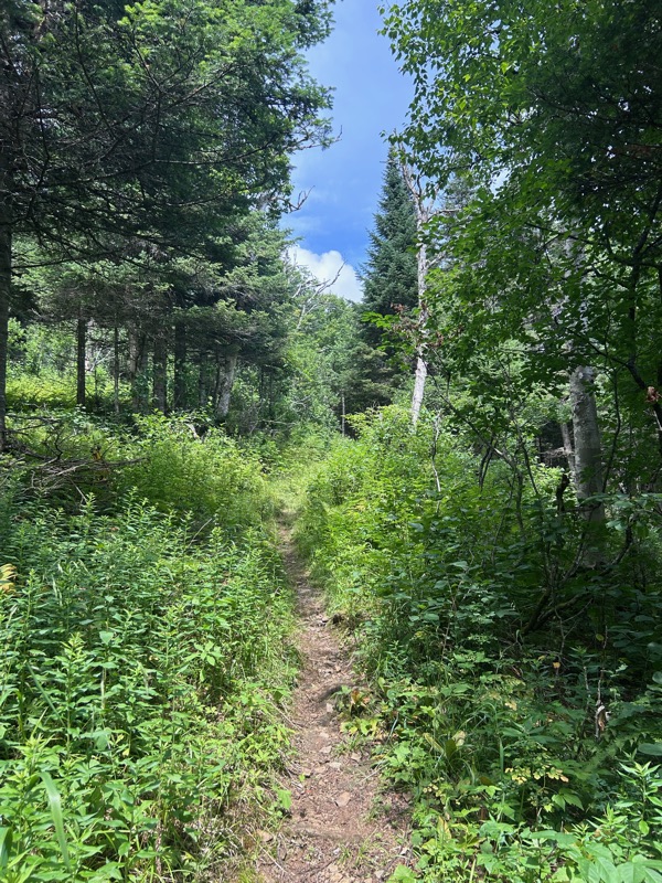
Photos never do the steepness justice. These look like the trail was practically level and let me tell you, it was not level. Just the other hikes this weekend, it was steep. 2200 feet of gain in 2.1 miles.
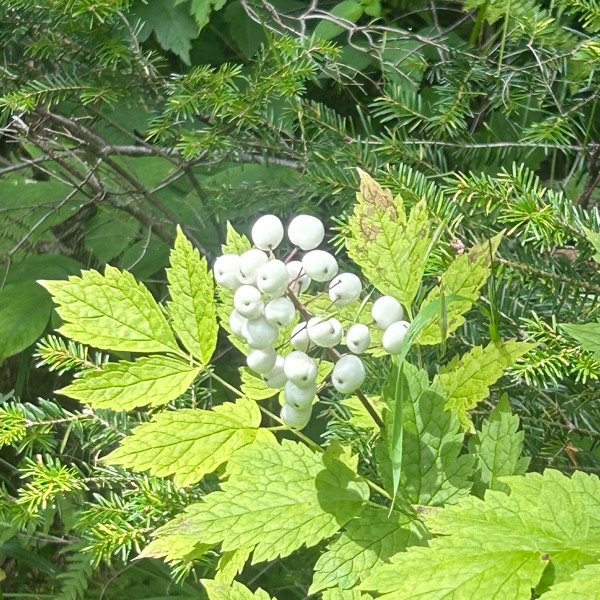
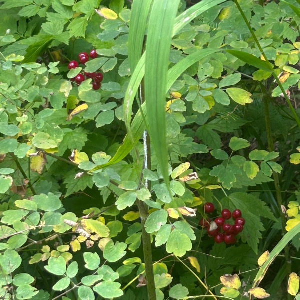
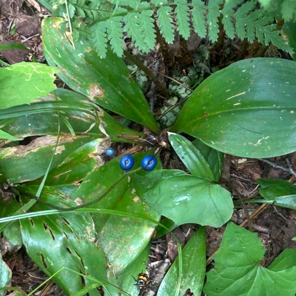
We saw these white berries, which I’ve never seen before. Shortly after we saw the red berries and lastly the blue berries. Note, these are not blueberries. I’ve seen the blue ones before and was told they are poisonous. Looking these all up and the white and red ones are likely Red Baneberry, and the entire plant is poisonous. The blue ones are likely Blue-Bead Lily and the fruit is mildly toxic. And amusing we saw red, white, and blue berries all together.
I also dubbed this area “toad alley”. I saw something like five toads! I was leading us up the trail and I think they were sunning themselves on the trail, so as I approached, HOP, one would jump into the bushes. Keep walking and HOP, another one into the grass. We also saw some moose poop!
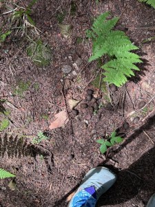
We came across an oil tank, and then this debris. There used to be a fire warden’s cabin here, and this seems to be from that.
A bit more hiking, and we came to the summit. As I popped up over the top, I saw this:
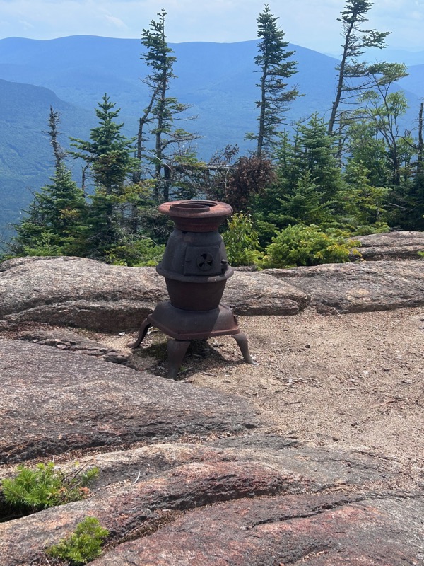
An antique cast iron stove, which it’s said to move around on the summit. Again, probably from the fire warden’s cabin.
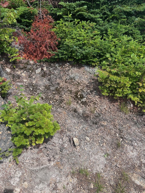
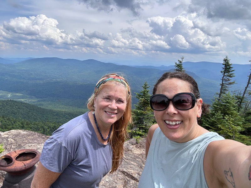
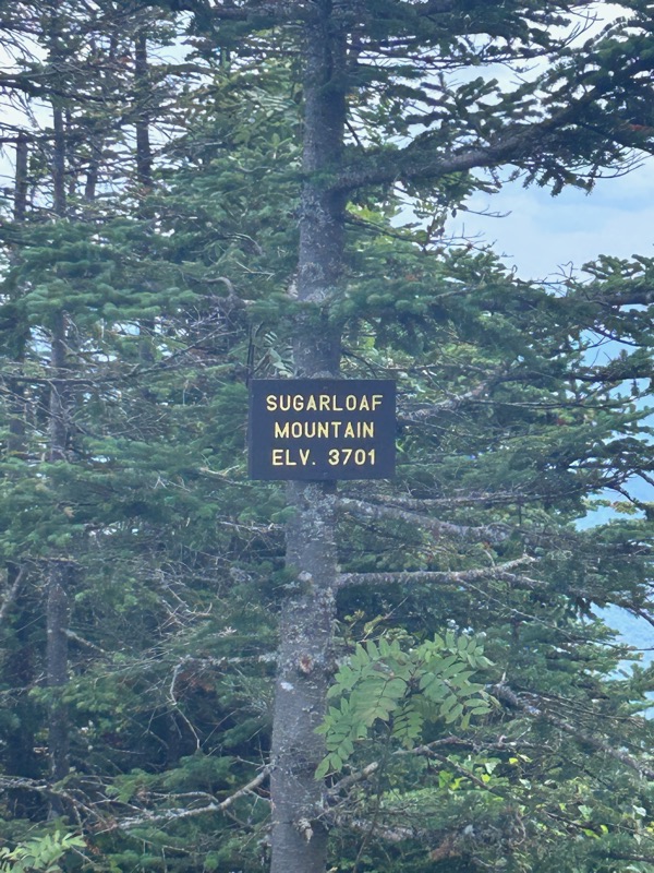
More moose poop! At the summit! Note how nice I look in this summit photo. That’s what happens when you completely strip down, change into dry clothes, and eat lunch before you take your summit photo.
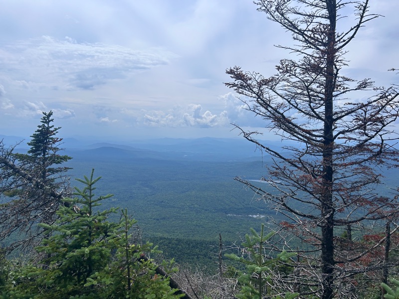
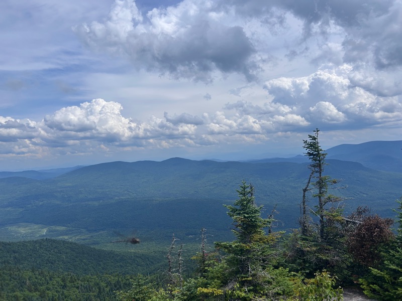
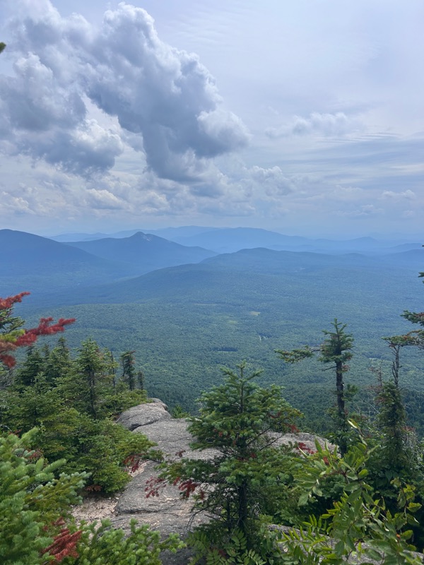
Views from the summit, including a giant dragonfly. And Percy Peaks, another 52 With a View.
After lunch and photos, it was time to descend. The word of the day was “relentless”. Heat, humidity, steep, unending terrain. Relentless.
- Distance: 4.2 miles
- Elevation gain: 2,200 feet
- Total time: 4 hours, 32 minutes
- Moving time: 3 hours, 37 minutes

