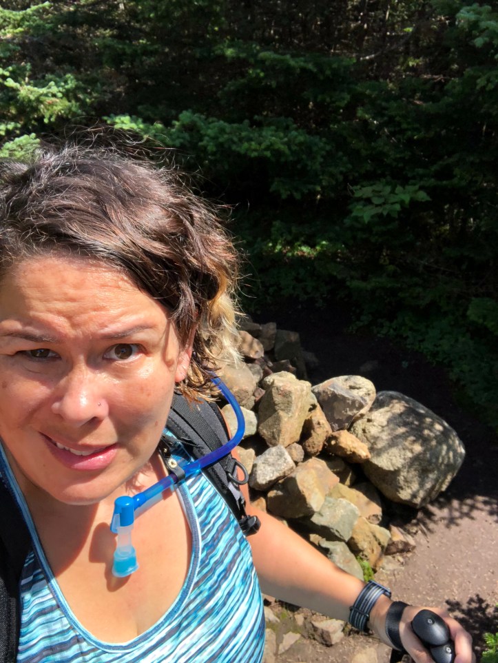
So after my hike yesterday to Mt. Hale, I drove a few minutes to the AMC Highland Center, where I had a reservation to stay at the lodge. Similar to the huts in that you get a bunk in a room with strangers and dinner and breakfast are provided. Unlike the huts in that there are showers! And they sell beer and wine!
Woke up the next morning and walked right out of the Highland Center onto the trail. The loop I chose was 7 miles, 2,721 feet of ascent and hit three peaks (2 4,000 footers, and one other). It took me 7 hours and 59 minutes including a nice lunch break. (I never stop the clock. I hit start when I start, so my times include all breaks: water stops, snacks, photo opps, etc.).
Of course, it wouldn’t be a White Mountain trail without rocks and brook crossing.

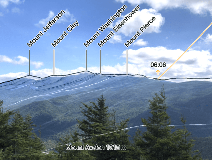
I had planned a “lollipop”, where you head out on a trail, then there is a loop, but the last part is a repeat of the start (so it looks like a lollipop, sort of). I began on the Avalon Trail out of the center. The trail diverged from the A-Z trail (which I would be coming back on in the afternoon). While Avalon is not a 4,000 footer (it’s “only” 3,442 feet), it was a tough, rocky, steep, scrambly, often rock-climby trail. However, Avalon provided the nicest views of the day.

Especially interesting, that lake is right by the AMC Highland Center, where I started my hike. Also cool, those mountains are the Presidential range, including Washington partially covered by clouds, and Jackson (which I’ve climbed but isn’t labelled in this overlay, but it’s there I swear!).
Continuing on from a steep, rocky summit on Avalon, over 1.9 miles and a good amount of feet ascension up to Mt. Field at 4,340 feet. That makes Mt. Field my highest summit so far.

Another day, another rock cairn. Not particularly spectacular views, except this little peekaboo view of the Mt. Washington Resort (the buildings with the red roof).

From Field, it was 0.9 miles over to the A-Z trail and then the Mt. Tom spur trail. 0.6 miles up to the summit, 4,051 feet.
By this point, I’m apparently over the whole rock cairn with no view after busting my butt to get there. Anyway, then it was down, down, down the A-Z Trail where it met back up to familiar territory and the Avalon Trail and back to the AMC Highland Center.
One pro tip, if you want to speed up your hike when you’re nearing the end and getting tired, pass a dog that just rolled in poop. You’ll start walking away VERY quickly.
