Right Turn and I decided on a shorter hike. We went with North and South Doublehead, which together count as one 52 With a View peak. My 19th and Right Turn’s 20th. One thing about a 52WAV peak is that they usually have pretty great views, so you want to hike them on pretty great days. April in New England, aka shoulder season, can be snowing, raining, or 70 and sunny, or all of the above. Conditions can include snow, ice, mud, or all of the above.
Luckily, we had a perfect day weather-wise. A forecast of high 60s at home and at the base of the mountain, with high 40s at elevation. Low wind, no clouds. The most recent trail conditions report was a couple of weeks old, but looked promising and we’d only had one day of snow since then. Again, trail conditions were great especially considering it is April.
Right Turn and I met at the trailhead. “The book” indicated that clockwise was best for this loop, up Doublehead Ski Trail, summit North Doublehead, over to South Doublehead, then down Old Path, back to Doublehead Ski Trail, and the trailhead. AllTrail showed it counterclockwise and reviews seemed mixed on which way to go. I generally go with what the book says, since AllTrails can be wrong and/or have reviews by folks that have never hiked before. (Side note, there is a bad review of a hike in the White Mountains. The reviewer felt there should be hand rails. So you know, I don’t always listen to AllTrails reviewers).

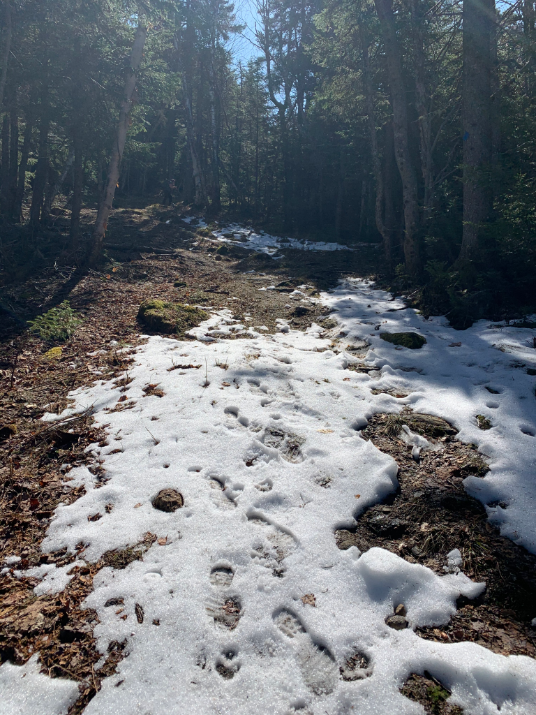
The ski trail was fairly steady in steepness, but nice and wide, and not too rocky. Nearer the summit, there was still snow on the trail, but easily avoidable and not too icy.
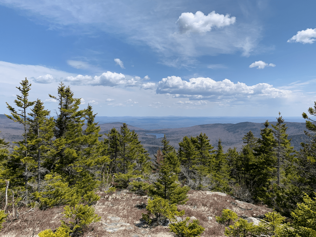
I struggled a bit ascending. It wasn’t cardio, which is usually the limiter for going up, but my legs just seemed heavy and tired. I had tweaked my back the day before at the gym, which may have been a factor. So I was much slower than I anticipated for a “short and easy” hike. Regardless, we got to the summit, which has a lovely view of Mt. Washington, and a nice cabin you can stay in. We peeked inside and it looks nicer than the Cabot cabin.


There was a small path behind the cabin leading to another view.

Hiked over to South Doublehead. Near the summit is a view, but if you keep going past the summit, there is a spur trail to a nicer view. It’s similar to the one I posted from North Doublehead, but it’s a nice open “ledge” area. No one was there, so we sat, had a snack, and enjoyed the perfect weather.
I started to get a migraine just as we were leaving, but I always pack my medications. Part of any first aid kit should be any required medications. Took my meds and the migraine wasn’t a problem as we descended down Old Path.
We both agreed we disagreed with “the book” (gasp), and would have preferred going UP Old Path and DOWN the ski path. We also both agreed this would be a great one in winter and a lot of fun to butt sled down the ski trail.
Sadly, we came across a hiker that had lost their car keys. It’s one of my big fears hiking, and I always put my car key in a zippered pocket that has nothing else in it. So I’m not rummaging around looking for something and my key falls out. At the trailhead, I lock the car, put away the key, and never touch that pocket until I’m back at my car. Plenty of cell phone service at the trailhead, so she was able to call someone to bring her another key. A good reason to have a spare key, and know where it is so someone can get it and bring it to you!
We saw a few bugs on the hike, so despite the snow on the ground, I guess winter hiking is officially over!
- Distance: 3.9 miles
- Elevation gain: 1,664 feet
- Moving time: 3 hours, 23 minutes
- Total time: 4 hours, 28 minutes
