The initial plan was that Rainbow and I would hike Galehead, stay overnight at Galehead hut, and then hike out via the Twins. Right Turn would be getting the Galehead and the Twins a week before with other friends, so she wouldn’t be joining us.
We would do a car spot. Meaning, we would meet at our ending trailhead, leave a car there, and drive to our starting trailhead, so we could go up one trail and come down another.
As we got closer to the hike, Right Turn decided to join us as she still needed Galehead. She would just meet us at our starting trail, hike up with us, stay at the hut, but go back down the same trail, while we continued on to the Twins.
Closer still to the hike, and Rainbow wasn’t able to go. Right Turn very graciously offered to do the whole hike instead of turning around after Galehead.
The best laid plans and all that. If you’ve read any of my prior hike write-ups, you know plans can change often.
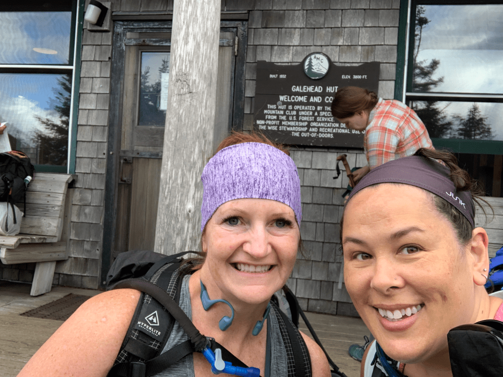
So Right Turn and I met at the North Twin trailhead around 9am. I just happened to turn onto the road before her, so I parked, leaving my car and taking her car to Gale River trailhead. This would prove to have been a fortuitous decision later on. We parked Right Turn’s car at Gale River trailhead, loaded up, and we were off!
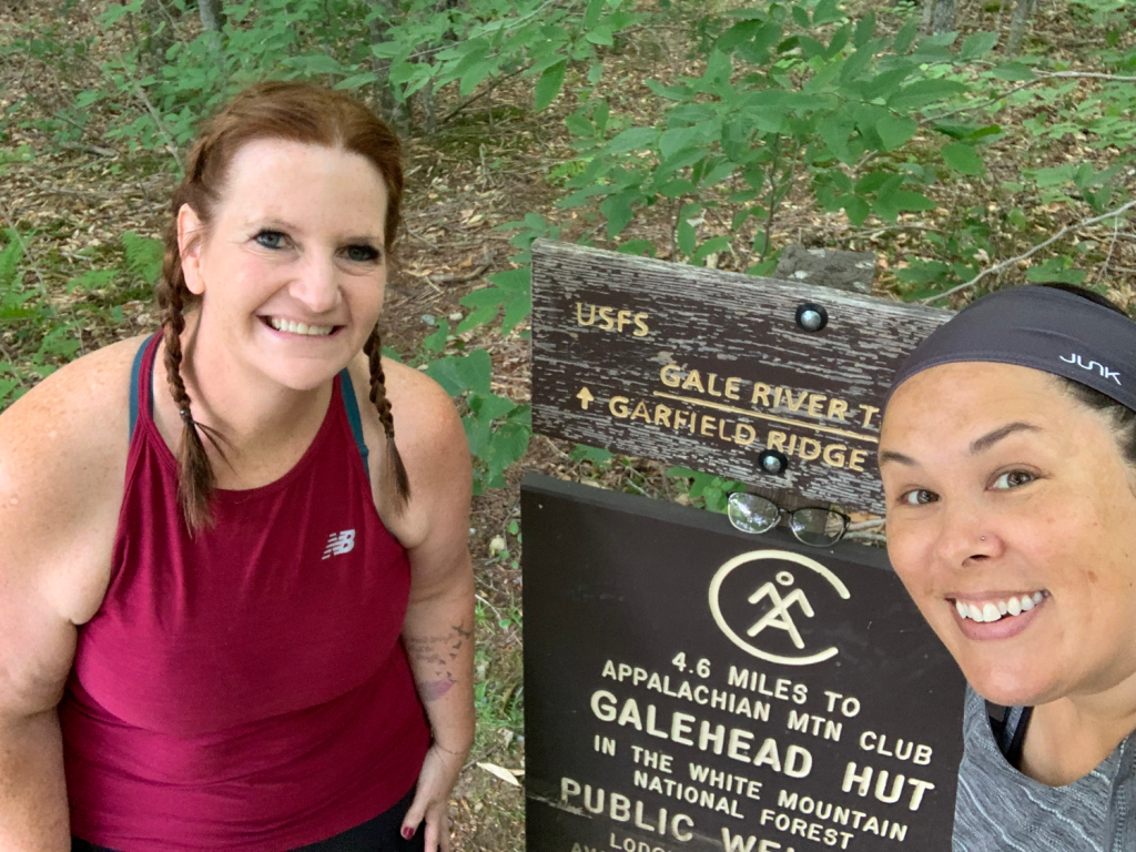
As I wrote about the last time I did Galehead, the beginning of the trail is lovely. The first two to three miles are mostly flat-ish, and (relative to the rest of the hikes in the Whites) rock- and root-free. Then you hit the water crossing, and the real hike begins.
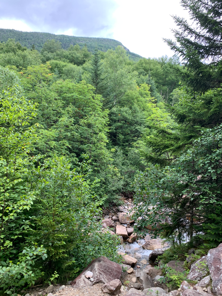
After the water crossing, this is what I said last time “Not long after the water crossing, the trail suddenly goes from the above nice flat dirt trail to boulder hell. The trail now climbs 1000 feet in one mile.” Boulder hell. Ha!
It was along this stretch that Right Turn began having really bad leg cramps. The same issue she’d had the week before, only this time she had all the right water, electrolytes, etc. but the cramps wouldn’t stop. It was a hot and humid day, which didn’t help at all. I was sweating buckets, stopping once to wring out my headband and I swear a half cup of sweat dripped out onto the rocks.
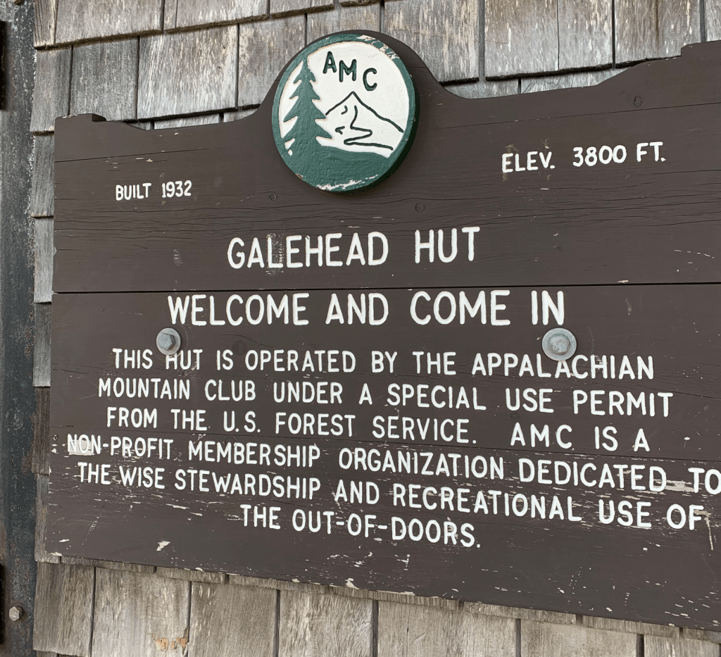
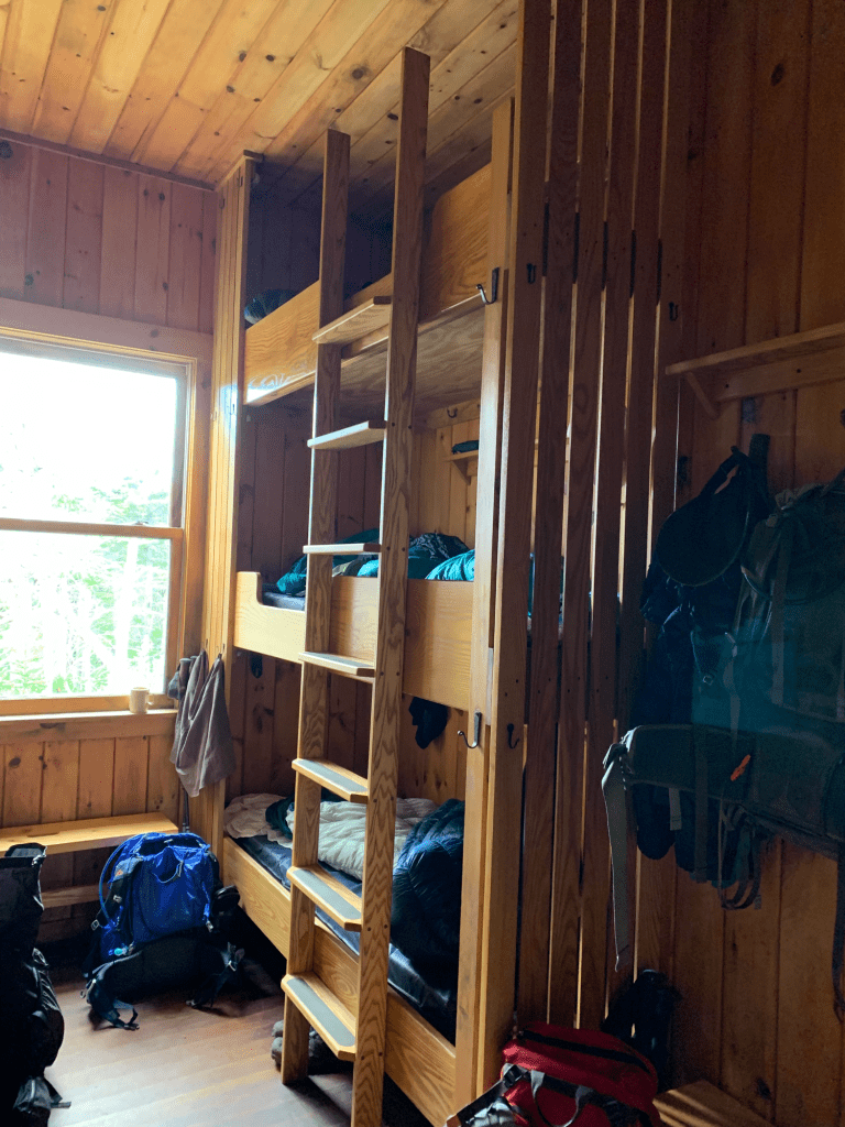
We made it to the hut. Checked in and grabbed bottom bunks. At Galehead hut, the bunks are three high! I had no interest in attempting to climb down that ladder in the middle of the night to pee, especially after a full day of hiking!
We had some food, hut lemonade, and a bit of rest. Right Turn felt up to the half mile it would take to summit Galehead, so we left behind her pack and some stuff from my pack, and were off!

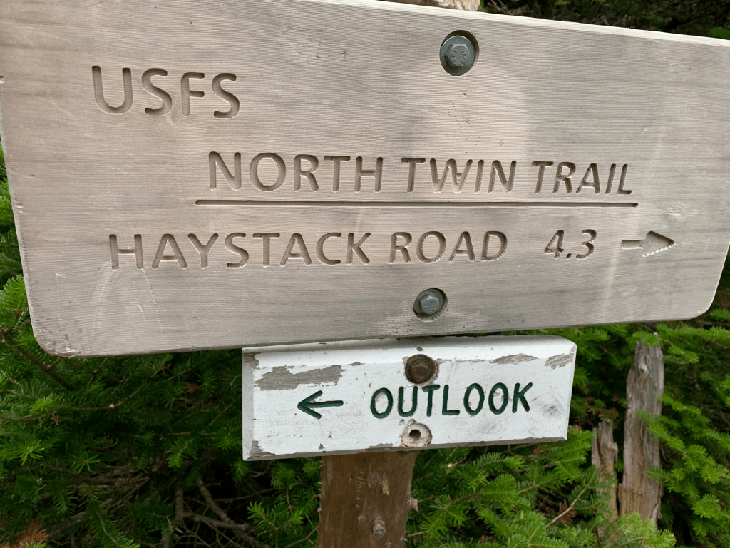
Not much to look at, but it was #26 of the NH48 for Right Turn! We headed back to the hut, and stopped at the outlook where you can see the hut.

Rising up from the hut, you can see part of the slope up to South Twin. The actual summit is out of the picture to the right. That ridge leads from South Twin to North Twin, which would both be on my itinerary for the next day. When you see how small the hut looks in comparison, it’s crazy to think I’d be walking that whole way.
It was around 4PM when we got back. Dinner would be served at 6, so we decided to lay down for a bit. As I was in and out of a nap, I kept hearing weirdly coordinated cheering/yelling from out in the dining area. It didn’t bother me, but my brain kept trying to figure it out. I eventually got up and walked out to see a bunch of people playing Jenga! Which perfectly explained many minutes of silence, punctuated by a group exclamation whenever the tower fell!
Meals at the hut are family style, served at long tables, so we enjoyed some nice conversation with fellow hikers at dinner. As well as being entertained by the hut croo. They put on a little skit, as well as a nature program after dinner.
After dinner, I listened to the nature program, and took some photos.


The image on the left is sort of “head on” to South Twin. Again, I’d be going up that tomorrow morning. Taking a right at the summit would follow the ridge on the right leading to the Bonds. Taking a left would follow the ridge on the left leading to North Twin. The image to the right shows off the profile better of the trail I would be taking the next morning. Yes, it’s just as steep as it looks, but more on that later.
While brushing my teeth in the bathroom, I notice the sunset looked gorgeous. Amusingly, the way the hut is situated, the bathroom was the only place you could really see it. I ran outside with several others, but the hillside slopes off behind the hut, and the trees are too tall. The bathroom windows were the only place to really be high enough to see the sunset.

After that, we settled in to our bunks. It was then that Right Turn wanted to talk about tomorrow. I had an idea of what she might say. She really had a tough time with leg cramps. They hit her a few times while just sitting on her bunk. The trail the next day was not an easy one. It starts off with a bang. That slope I showed before gains 1100 feet of elevation in just 0.8 miles. Right Turn had come down it just a week before and she knew what it was like. So being the smart hiker that she is, she would go back Gale River trail tomorrow, instead of doing the Twins. We were both concerned for each other. She felt bad changing her plans and I felt bad about her going back down alone. However, we both convinced each other that we would be okay. This is where the fortuitous car parking comes in. My car was waiting for me at the end of my intended trail. Her car was waiting for her back at the beginning, where she was now heading.
One side note, I would not normally advocate splitting up. However, I know Right Turn well, and I know that she knows herself and she knows me. If she said she was better off going down Gale River, and that she’d be ok without me, I knew she’d be ok. She also said she knew I could do the Twins just fine. I had researched them, but it’s nice to have someone that knows your capabilities tell you “you got this”.
By then, it was close to 9:30PM, which is “hiker midnight”. Time to call it a night. People started waking up around 5:30 AM. I was in and out of sleep until 6:30, when the hut croo wakes everyone up for breakfast at 7.
Breakfast, pack up, brush teeth, etc. and it was time to hug and part ways.
It was much cooler than the day before, which I hoped would help Right Turn (and myself). We both have Garmin GPS units, and had previously tested sending messages to each other via those, so that gave me some comfort in case she ran into trouble. So off to Gale River trail for her, and on to the Twins for me.
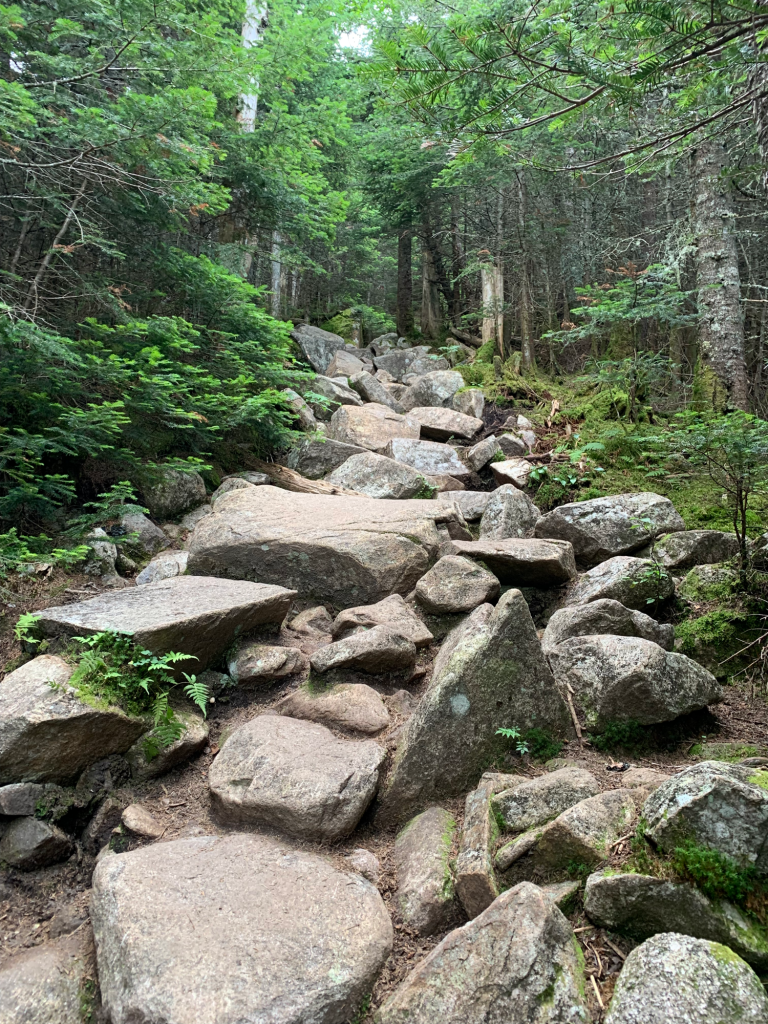
Right, so. 1000 feet in 0.8 miles. This trail is the “Twinway”. 0.8 miles of boulders. Like box step-ups for an hour, on varying sized boxes, with irregular spacing. Much like the “mailbox” technique I used to use for running (just run to that mailbox, then when you get there “just run to that telephone pole”), I frequently said “just hike to that dead branch”, then “just hike to that fallen log”.
I may have even at one point been lamenting the “trickiness” of the Whites, how they lure you in with those nice trails at the start and then have stretches like this one, when I suddenly said in Smeagol’s voice, “sneaky little mountainses”.
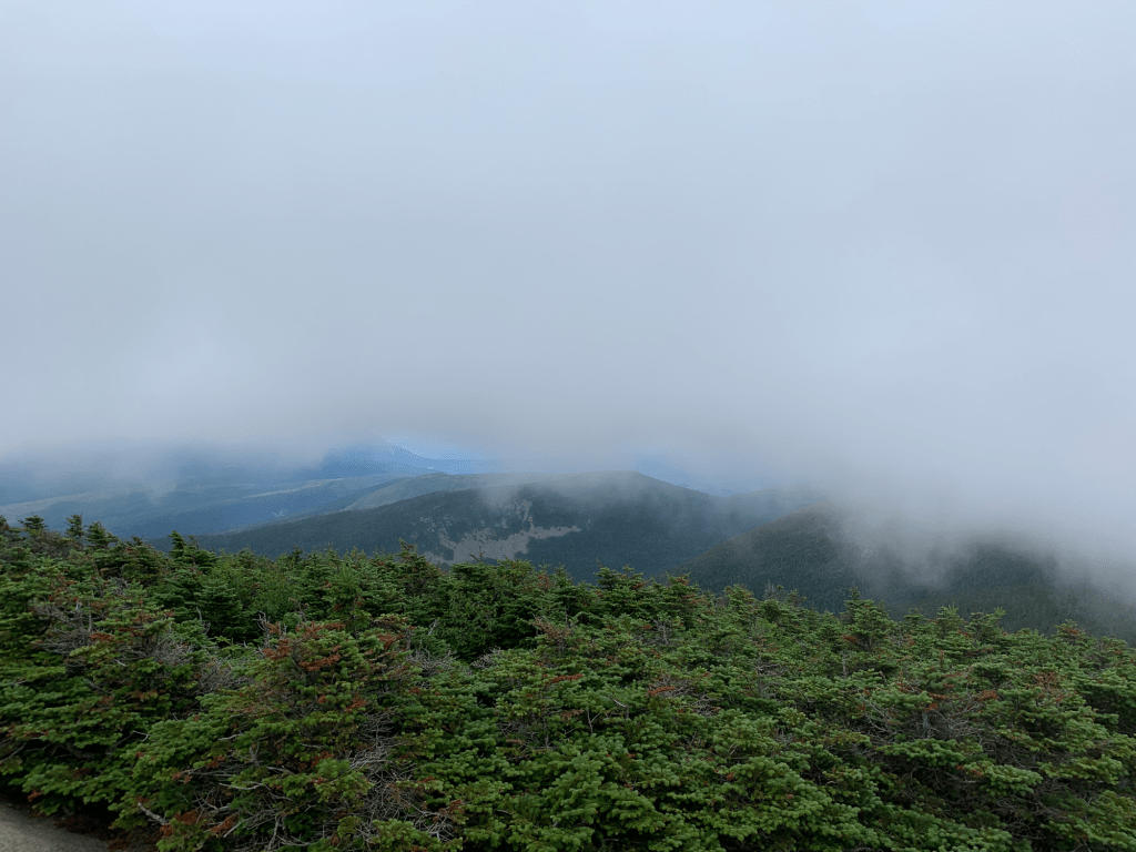
It wasn’t all terrible, I did turn around and notice that there was a nice view at one point. I’m glad I turned when I did since this would be my last good view of the day.

The summit just left of center and under a cloud in this photo, is Lafayette, which I’ve previously climbed. It’s cool to see things like that. Harder to see in front of that is Galehead.

Hello and welcome to my photo album of boulders. My biggest complaint with cell phone photos is that this does not accurately show how steep this trail is. And relentless. However, I realized during this hike (and after Monroe a couple of weeks ago), that I will happily take a long, steep grind of a hike over a scary one. I don’t mind just putting my head down and stubborning my way up a mountain. I much prefer that over scary granite slabs of death hikes.

Near the top of South Twin, I took another look back. You can see the clouds moving in. You can also see the hut where I started just an hour and a half earlier. You also can see the trees getting shorter and scrubbier.
Finally the summit of South Twin! In theory, the hard part was over.

I headed off on the North Twin Spur towards North Twin.
Behind the clouds was my next summit. I didn’t think the trail here would be too difficult. Should be a small drop, then across, then short up and summit.

It was actually quite lovely. I didn’t take any photos, but it was a narrow trail, mostly rock-free, with short scrubby evergreens on both sides. Lots of ferns and greenery. Mostly flat as it followed the ridge over to North Twin. One of my favorite kinds of trails. Then a short, sort of scrambly, but not scary scrambly up to wooded North Twin.

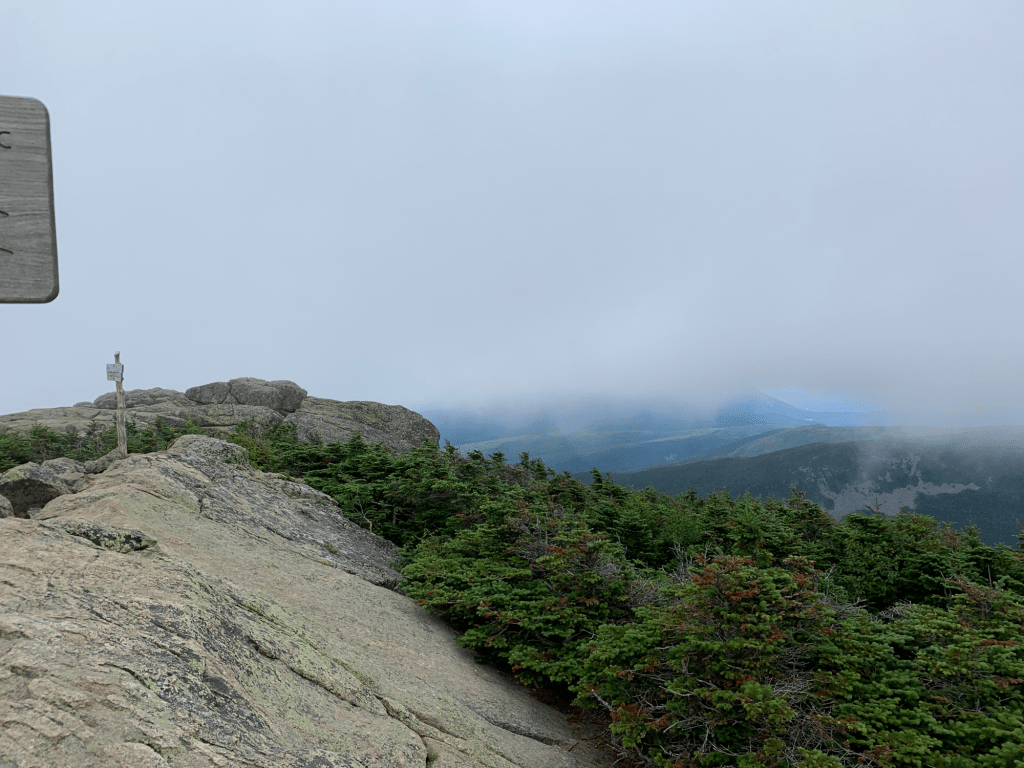
There were three different cairns in the area, so I’m not positive which was the actual summit. I took photos of all of them just in case! There was also an outlook, but when some one asked me about the view, I said it’s exactly the same as looking straight up at the moment. aka socked in with clouds.
From there, it was time to descend 3000 feet in about 3 miles.

Some of it was quite nice. Ferny forest. I had a lot of time and the trail to myself. Just enough people out so I didn’t feel weird, but not enough people to annoy me.
After this it became rockier. And not like the boulders on the way up. This was “loose rock” per the book. I basically invented Flintstones roller skates at one point. I stepped on a loose rock that rolled under my foot, but somehow STAYED under my foot as I propelled forward two feet. I SOMEHOW managed to keep my balance and not fall, which is a complete miracle.
I saw several dogs on the trail. Mostly lab-sized. Surprisingly ALL of them were well behaved. They were all off leash, but none of them were far off from their owners. None of them came barreling past me (or into me), as they sometimes do. And oddly, all of them calmly walked up to me and sat down next to me where I was standing, stopped and waiting for their owners to pass me. One woman even commented “oh he likes you”. I also realized trails that are good for big dogs (aka no sketchy slabs or difficult water crossings). Trails good for dogs are trails good for Kathys. Haha!
In my lesson confirmed while hiking Mt Monroe, I knew I needed to stop and snack/eat lunch rather than just “get to the car”. I also knew the hike was a pretty steep descent until the water crossing, so I planned to have lunch there.

Since I wasn’t coming from home that morning, I had to bring non-perishable food for my lunch. Tired of my usual (and not wanting anything fussy like a cold-soak meal), I brought hiker pizza: a tortilla, pepperoni, a cheese stick, and sauce that comes in little packets. I enjoyed that on the bank of the river. Once I was done, I Mr. Rogers’ed the water crossing. I took off my hiking shoes and socks and put on my water shoes. I had read that the rocks can be spread somewhat far apart, so rock hopping may not be possible. Putting on my water shoes meant I could just walk across and not worry if I needed to step on a submerged rock. Once I was across, I took off the water shoes and put back on my hiking shoes and socks. My feet did get wet on the crossing, and it felt delightful.
The trail continues on, and then eventually crosses the same river two more times. I learned that there was a bushwhack (!) where I could avoid them both and eventually join back up with the actual trail. I’ve never done a bushwhack before, although to be fair, this was really just an unofficial trail. Meaning it was so well worn, it was hard to feel like you could get lost. There were a few blowdown and I was worried I would have to backtrack, but all was fine and I reconnected easily with the real trail.
After this the trail was flat and lovely. Sometimes I think when I tell people I hike, this is what they picture, not the boulder hell that I’m usually hiking.

And then out to the trailhead and my car.
No blog post would be complete without some flowers, plants, and mushrooms!
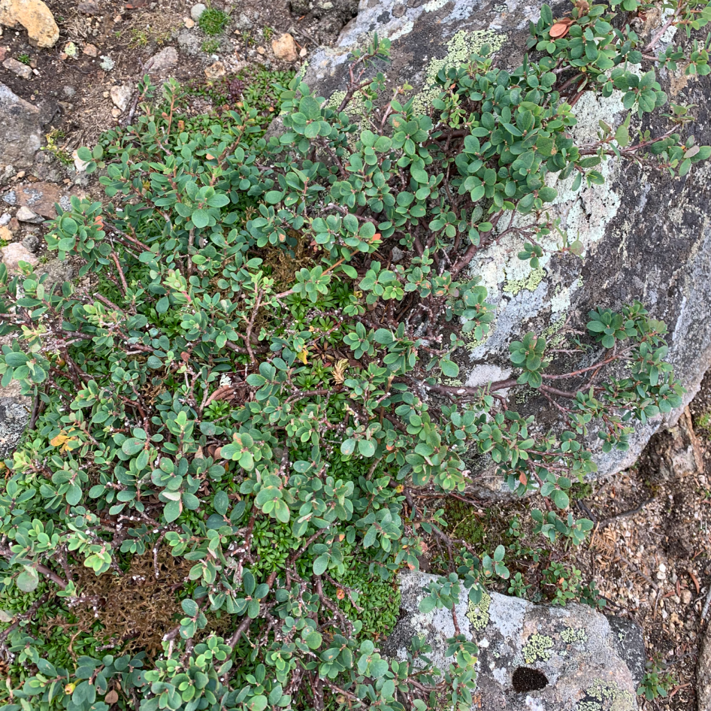

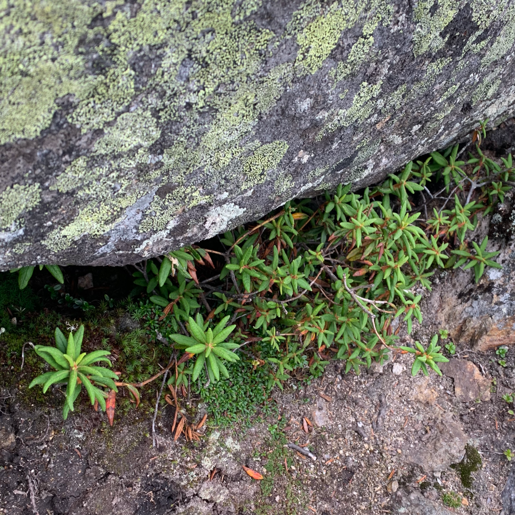

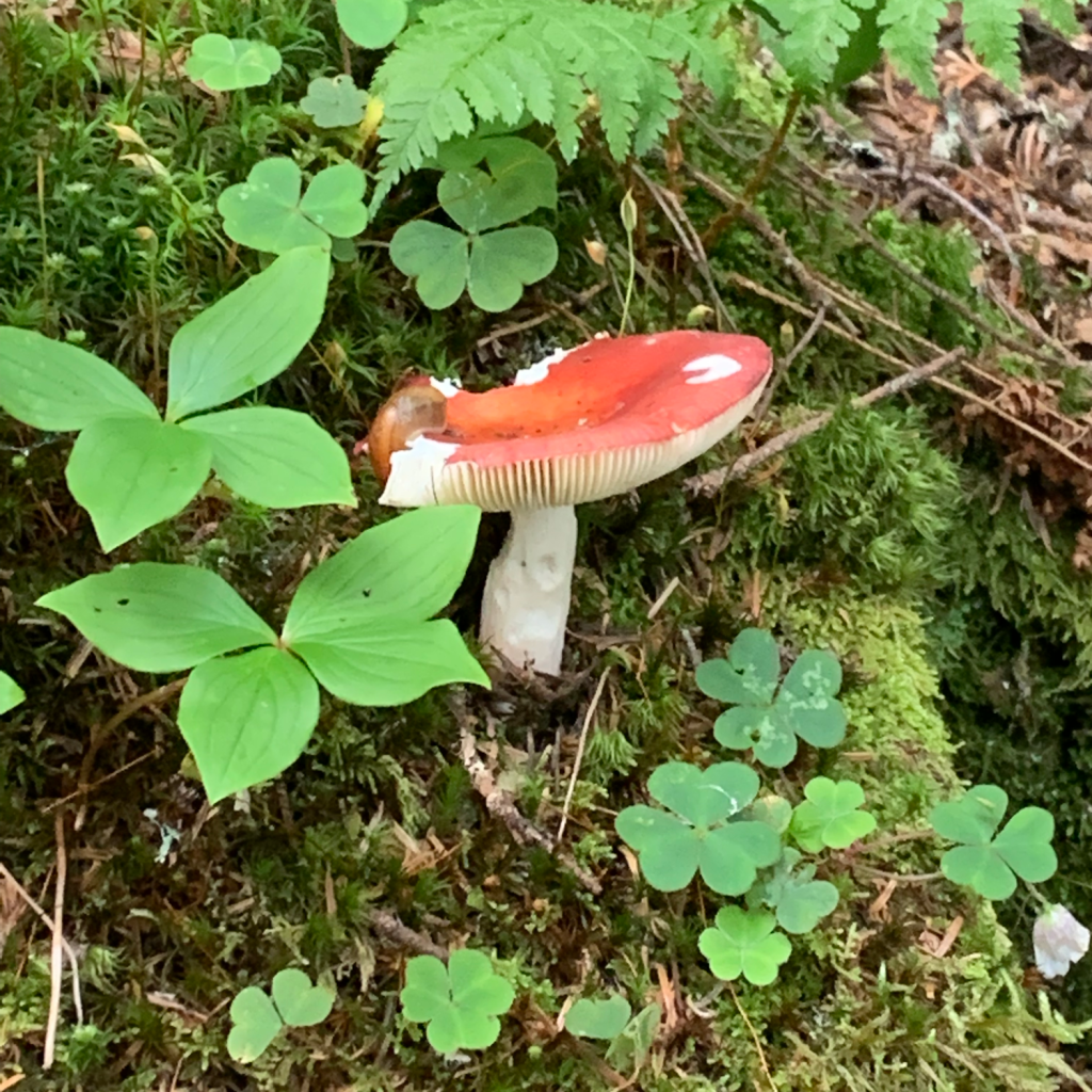
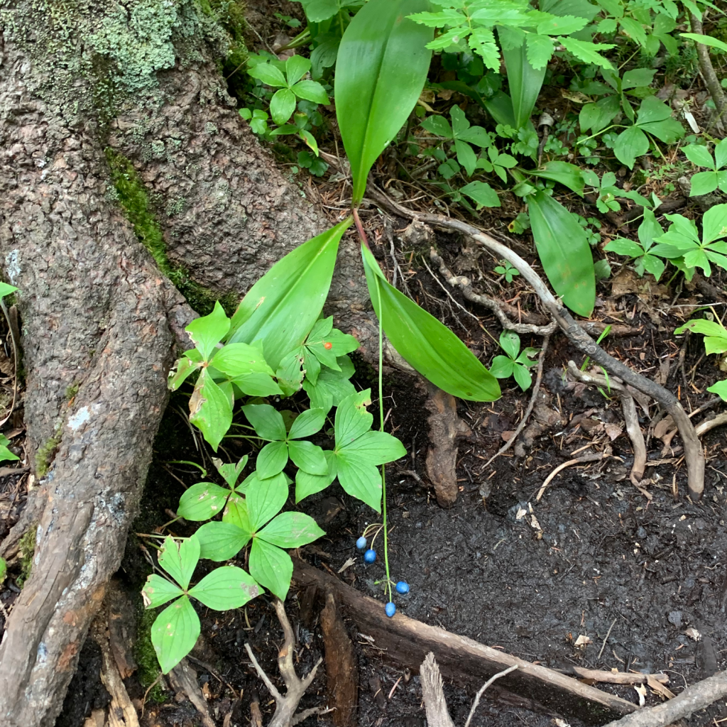


Some call outs in the above gallery. Second row, far right, the blue colored berry type thing is “Clintonia”, which I’d never seen before. Lichen can be seen in several of the photos. I learned at the nature program at the hut that lichen is actually an organism, and a symbiotic relationship between fungus and algae. Bottom left, pictured with my shoe for size, is chicken of the woods! I see people rave about it all the time, but I’ve never seen it for myself (not since I knew what it was).
- Total distance: 12 miles
- Total elevation gain: 3900 feet
- Total time (excluding overnight at the hut): 12 hours, 11 minutes
- Total moving time: 10 hours, 24 minutes
