Finally, a trip that went to plan. Mostly.
The plan: Rainbow and I would camp at Sugarloaf campground Friday night. Then do a two-day traverse from Zealand trail, hit the Bonds, and end at the dreaded Lincoln Woods trail.
Par for the course this year, I was constantly watching the forecast prior to the trip. On Wednesday, the forecast was for a chance of showers Friday night, chance of showers (and risk of thunderstorm) on Saturday and Saturday night, clear on Sunday. With the open ridge of the Bonds, I really wanted/needed Sunday to be clear.
Friday afternoon I picked up Rainbow and we drove up to the campground. We set up our shelters (in case it started to rain) and drove to Fabyan’s for dinner. We stopped and enjoyed the view before heading back.
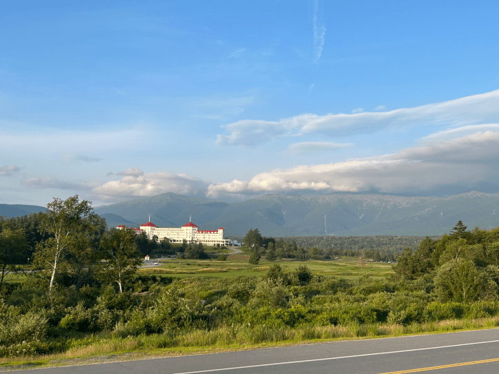
The line you can see going up the mountain is the cog railway going up Mt. Washington. It was cool to think we’ll be hiking across that ridge very soon!
We headed back to the campground, hung out for a bit (even used my plein air painting kit) and then went to bed.
Day 1
We woke up around 6:30 and were happily surprised to find that it hadn’t rained. We slowly packed up and drove the 11 minutes to the Zealand Trail trailhead. Ready to start at 8AM.
We both hiked Zealand on November 29, 2020 in very different conditions. We’d be covering the same ground all the way until the summit of Zealand. Maybe because of that, we forgot to take a trailhead selfie.
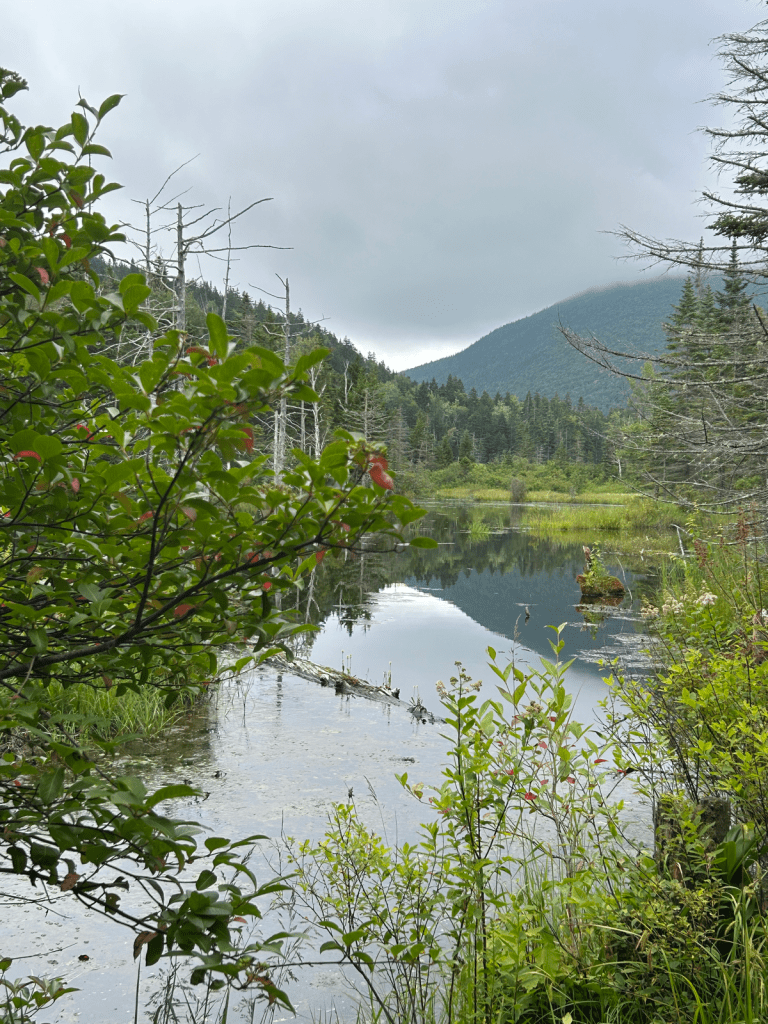
We got to the beaver pond area and I unintentionally grabbed a photo from close to the same spot as the last time…
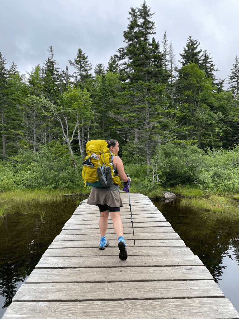
We came to a trail junction and remembered to take a selfie.

From there it was about a half mile to the falls and Zealand hut. We took a break at the hut and saw a garter snake!

I refilled my water at the hut so I wouldn’t repeat my Wildcat Carters descent. After a little more than a mile, we came to the small loop trail for Zeacliff. Last time we skipped it since it was extra mileage and completely covered over in clouds. Since the clouds were clearing up, we took the detour.
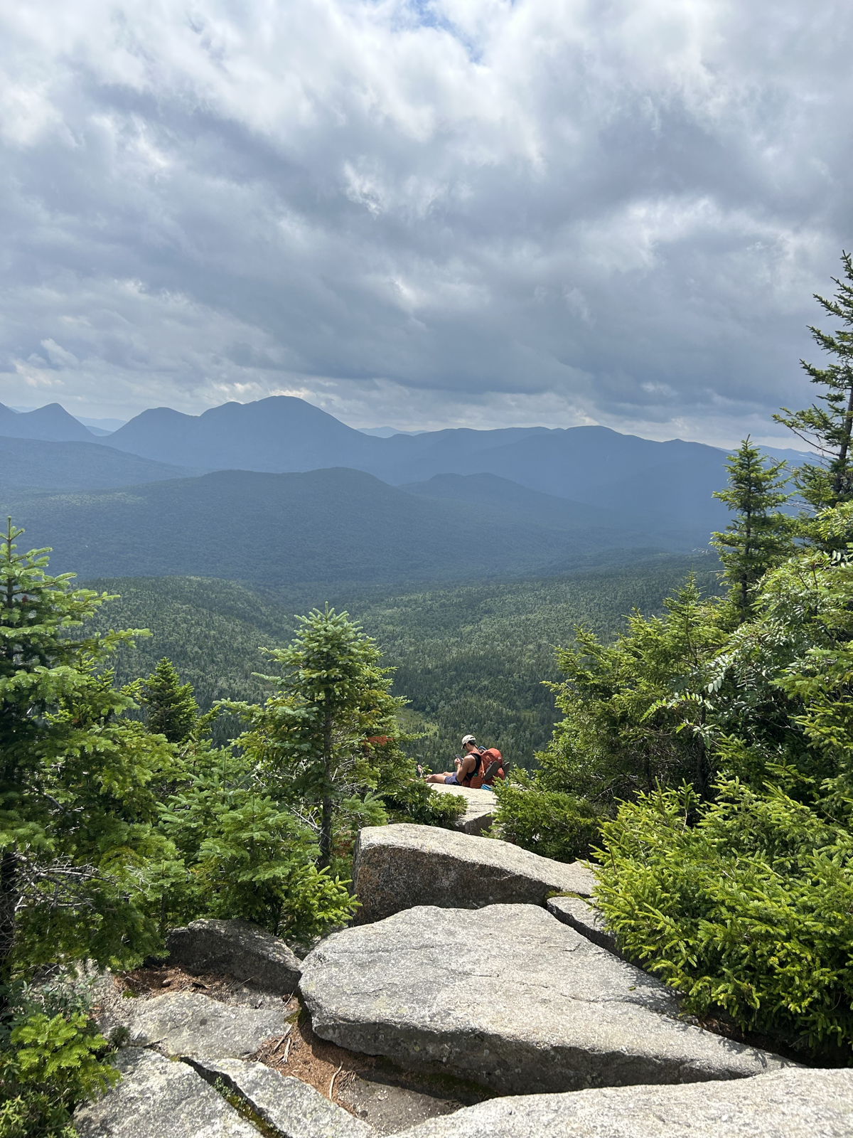
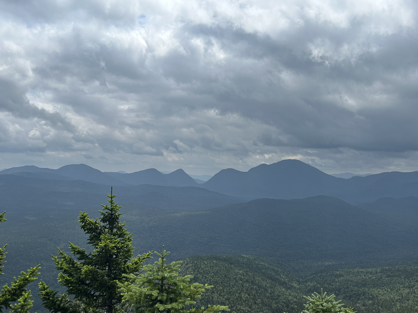
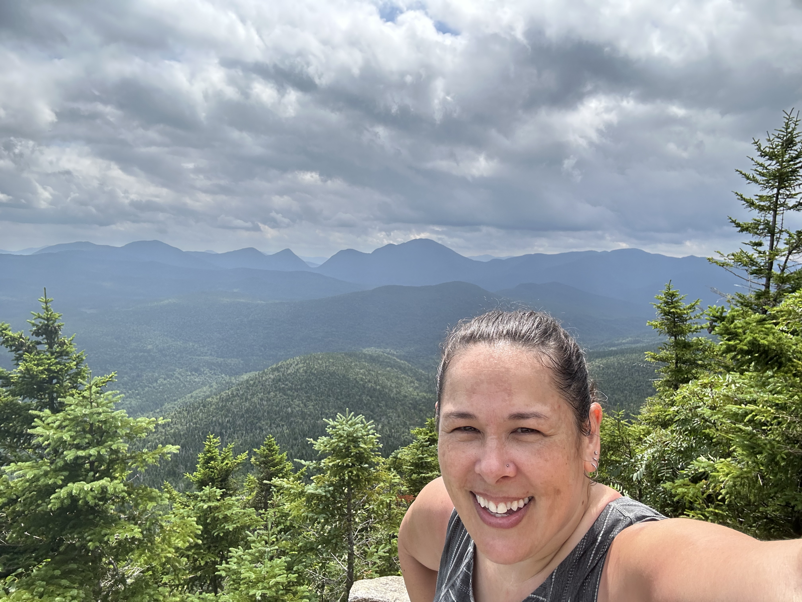
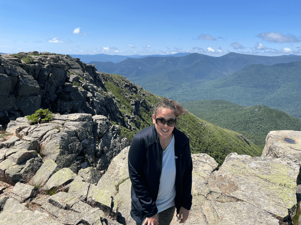
I’m not a weird stalker taking pictures of random hikers. The pic on the left sloped downward (hard to see in this photo) and the guy sitting there was on the edge of it. He yelled back “do you want to come down here?”. I responded with “hell no”. For someone who loves hiking, I have a deep fear of heights (this will come into play later). The two other pics are the fantastic view from Zeacliff and a selfie. The taller mountain to the right of the v-shaped notch is Carrigain, which I’ve hiked!

Returning from the Zeacliff loop, you come to these bog bridges. Last time we were here, we passed a pile of lumber that had been airdropped. Clearly they put them to use here. Last time most of these boards were partially rotten and submerged.
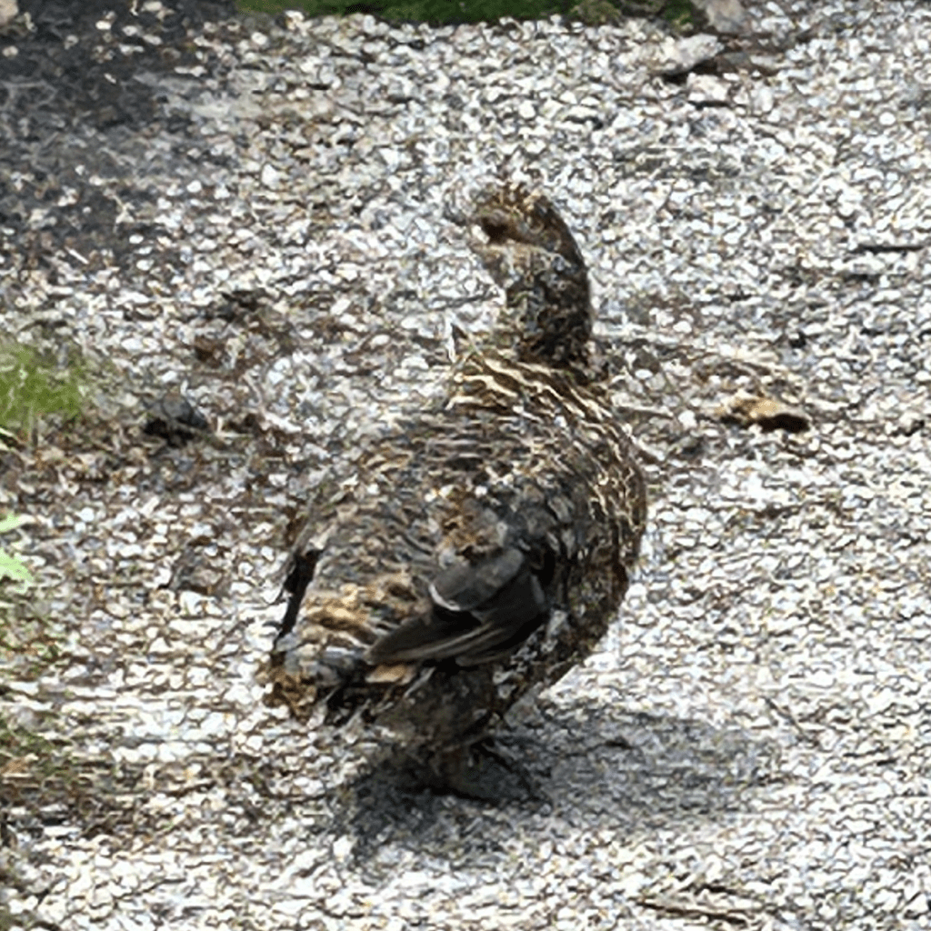

Not long after the bog bridges we saw a Spruce grouse! It was just chilling on the trail and let me take a billion photos. I encourage it to go into the bushes so we could walk by when Rainbow asked “are these the ones that attack people?” Thankfully, it didn’t attack us. Ha!
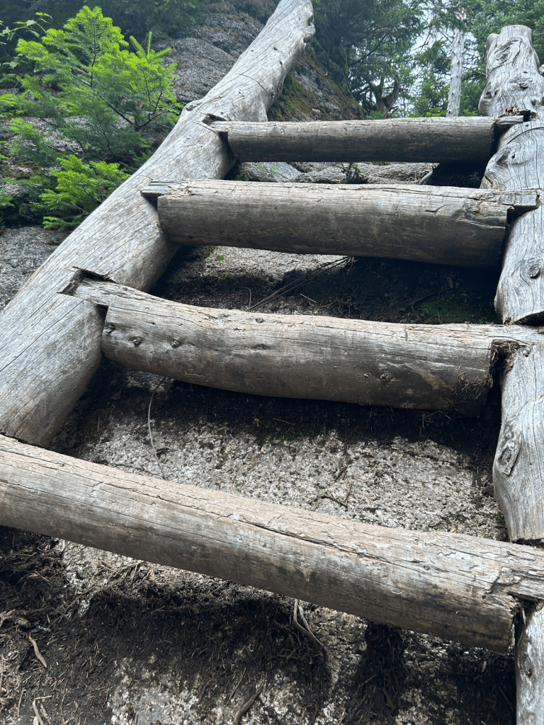
One of the particularly steep slabs has this lovely ladder on it. Going up ladders is always easier than going down them. And this one is nicely sized. AKA not too long, and the rungs are spaced well.
The clouds started to return. We got to Zealand and skipped the short spur to the viewless summit, been there, done that. The trail then steeply descends from Zealand to the col between Zealand and Guyot. Then ascends Guyot. Mt. Guyot, which we had to get up and over, is 4,580 feet high, but doesn’t count as a 4,000 footer due to it’s proximity to Zealand. During our ascent of Guyot, it started to rain. And then hail. With gusting winds. I’ve heard it’s really lovely, I’d never know it.
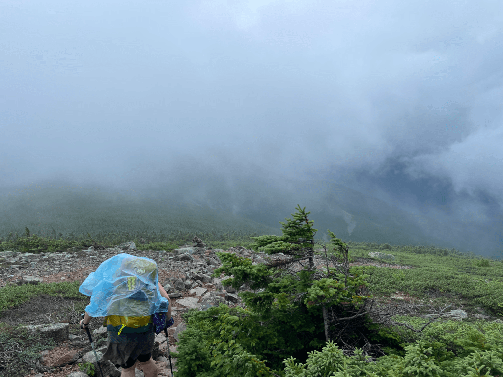
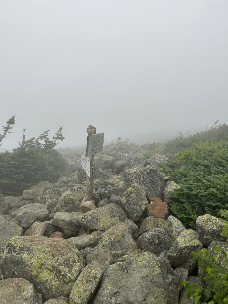

Left photo, me with a rain poncho thrown over myself and my pack (photo credit: Rainbow). Middle, the junction sign we were very happy to see. Right, Bondcliff trail and the direction we were headed to get to the tent site, our final destination for the day.
Neither of us took any photos for the rest of the day as it started to downpour. We still had to 0.6 miles (dropping 200 feet) to the spur trail to the tent site, which was another 0.2 miles and another 250 feet descent.
We arrived, were greeted by the caretaker, paid our money and were directed to our spots. Rainbow has a tent and as it was already pretty crowded, they sent her to platform 9. I have a hammock, so they directed me to an area next to platform 3. So we split up, headed for our spots to set up as quickly as we could in the pouring rain. My spot turned out to be terrible. It was on a two-way slope, and the only spot with trees far enough apart was over a huge rock. Not really caring at that point and not wanting to mess around, I set up my tarp. I sat on the rock under my tarp for a few minutes, contemplating the life choices that led me to this moment.
Now earlier in the day, we had been hot and sweaty. Now we were soaked with rain and the temperature was dropping. The forecast had warned us that it would be cold. It was only around 5PM, but my plan was to set up my space, get into dry clothes as soon as possible in order to get warm, and call it a night.
Normally, I’d have “camp chores” to do: set up my tarp, set up my hammock, get water, filter water, make dinner, eat dinner, wash my face, brush my teeth, change clothes, then hang out before bed. Instead I set up my tarp, got water (I didn’t filter it, figuring I had enough for now and could filter it later if I needed it), ate leftover lunch and some snacks because I didn’t want to make dinner, changed my clothes and got in my hammock. Because I had set it all up so quickly, on a two-way slope (head to toe was a hill and side to side was a hill), I didn’t set up well. On the left side, the tarp was too high. Both wind and rain splashing off the hill were coming into the “inside”. On the right side, the tarp was too low, it was almost vertical and rain could potentially drip onto my underquilt, which would make it useless and make me freeze. Then there was a large rock pushing on my shoulder. The rain seemed to break for a bit and I ran out in an attempt to fix everything. A nearby fellow hammocker suggested putting my hammock up higher, which fixed the rock situation. I brought down the left side of the tarp as much as I could. On the right side, I shoved a trekking pole under the corner with the tie out so it pulled it outward more. That all worked and no more rain or wind came in on either side.
Sleep didn’t come nearly as quickly as I’d hoped. Due to the rain, mostly everyone had separated and gone to their own tents. On a nearby tent platform a family of three was in a tent together. They didn’t seem to realize that tent walls are not like house walls. I could every single word they said. Finally around hiker midnight (9PM), they quieted down and I could sleep.
Two mountains summited and neither one “counts”.
Day 2
We agreed to wake up at 6. I woke up around 5:45 and happily saw that the rain had stopped. I forced myself to get up and out of my hammock. I surveyed the damage. Tarp soaked, yesterday’s clothes soaked, rain poncho soaked (somehow inside and out), outside of pack soaked, pole handles soaked. Probably more, but you don’t care about a list of my stuff that was now gross. Time to pack everything up, filter the water I didn’t filter the night before, attempt to eat, re-pack my food so the right stuff was accessible, try to figure out where to put all the wet stuff so it doesn’t get the dry stuff wet. Put on my pack that felt like it weighed 10 pounds more with all the rain water. Find Rainbow. And we were ready to head out at 7:30AM.
To start, we had to hike back up 0.2 miles and 250 feet just to get to the trail.


Photo on the left, taken by Rainbow, while I try to pretend to smile, but I’d rather be in bed. Photo on the right taken by the lady in the back of the photo on the left.
Luckily, it isn’t too far to the spur trail for West Bond. Just as we started down it, two hikers passed us without their packs. It’s an out and back spur, that isn’t very long, so we dropped our packs. (I still always grab my phone and my Garmin, just in case). It felt GLORIOUS to hike without our packs.

The spur trail starts out level/descending. I said out loud, it’s got to ascend at some point. We turn the corner and the trees break up. Oh yeah. There it is. We could actually see the two hikers that passed us, on the summit.
The clouds were moving in and out, and the wind was still pretty gusty. Of course the final ascent to West Bond is climbing over boulders that feel very exposed when the wind is trying to blow you off the mountain.
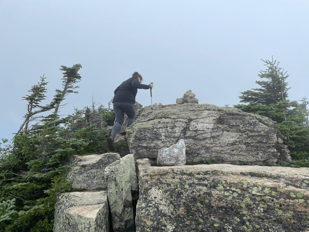

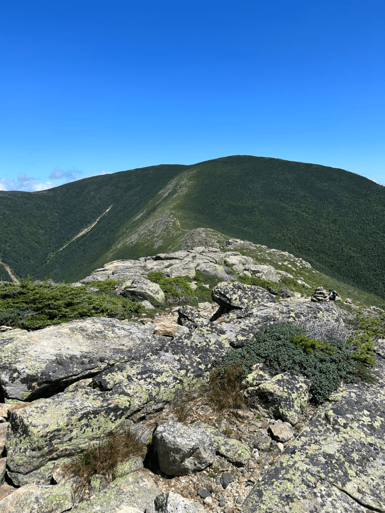
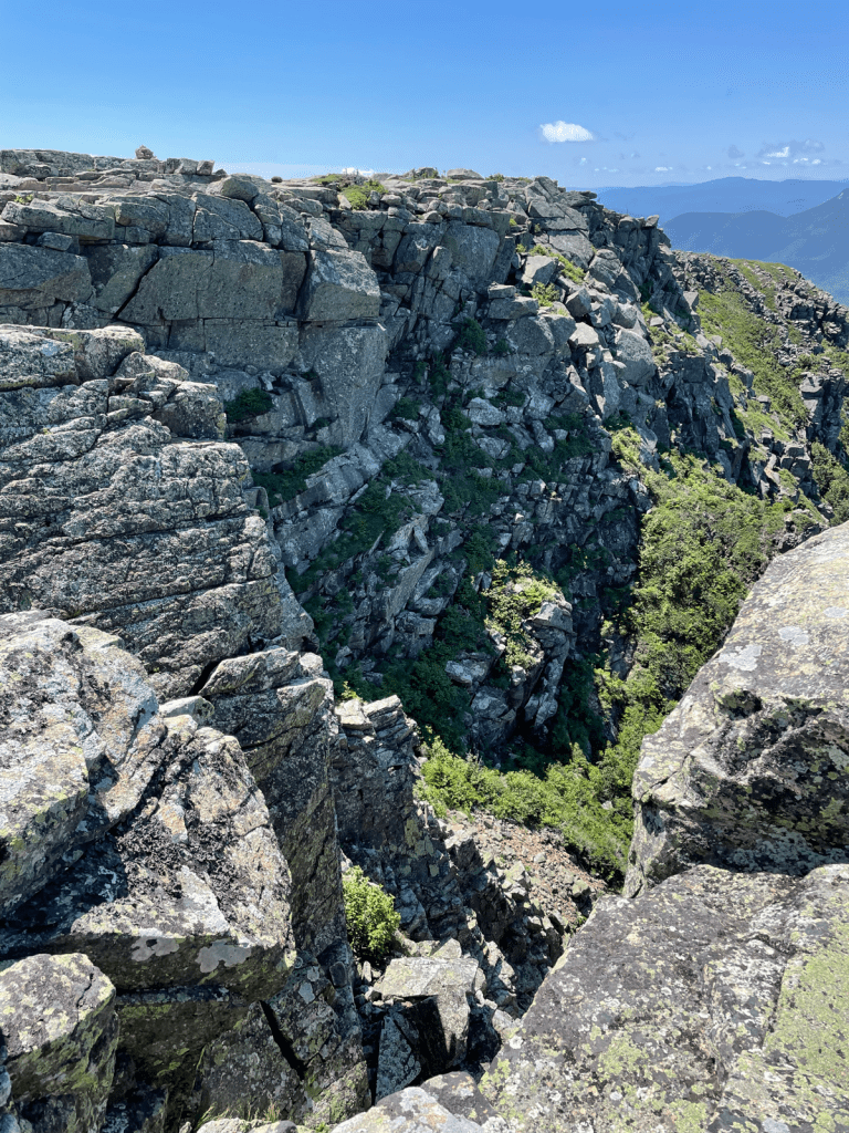
Then we got to the summit (Yay #39!!) and realized we could see the open ridge from Bond to Bondcliff, where we were headed next. And the ridge looked ALARMINGLY narrow. As the wind gusted at me.

I’ll admit I freaked out. What if it was too dangerous to cross the ridge? DEAR GOD I DID NOT WANT TO HIKE BACK THE WAY WE CAME. I figured the way to Bond was under tree cover, I could wait until then and decide what to do. Rainbow pointed out I was catastrophizing. But look how narrow that looks. We have to walk along the top of that!
Back along the spur trail, back to our packs. We took a little break and I ate breakfast, which I didn’t feel like doing back at the tent site while packing up. I often struggle to eat breakfast on the trail, so waiting a little bit worked well for me.
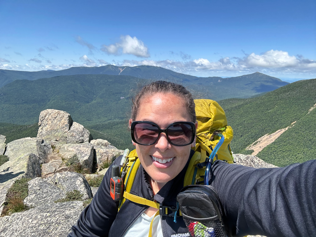
Back to the junction, and on to Mt. Bond. I kept silently willing the wind to stop. Wonderfully, it didn’t stop, but it did ease up quite a lot. There were moments of no wind. An occasional gust, but nowhere near as strong as before. And the misty rainy-looking clouds mostly blew away. Some descent, then ascent and we were at Mt. Bond (#40!)

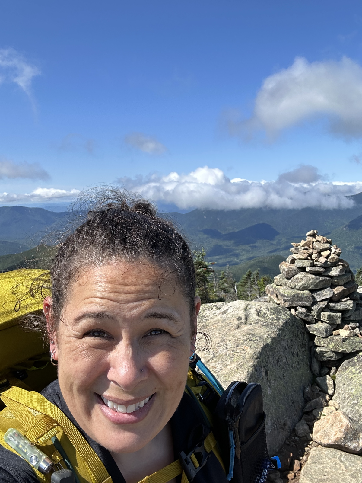
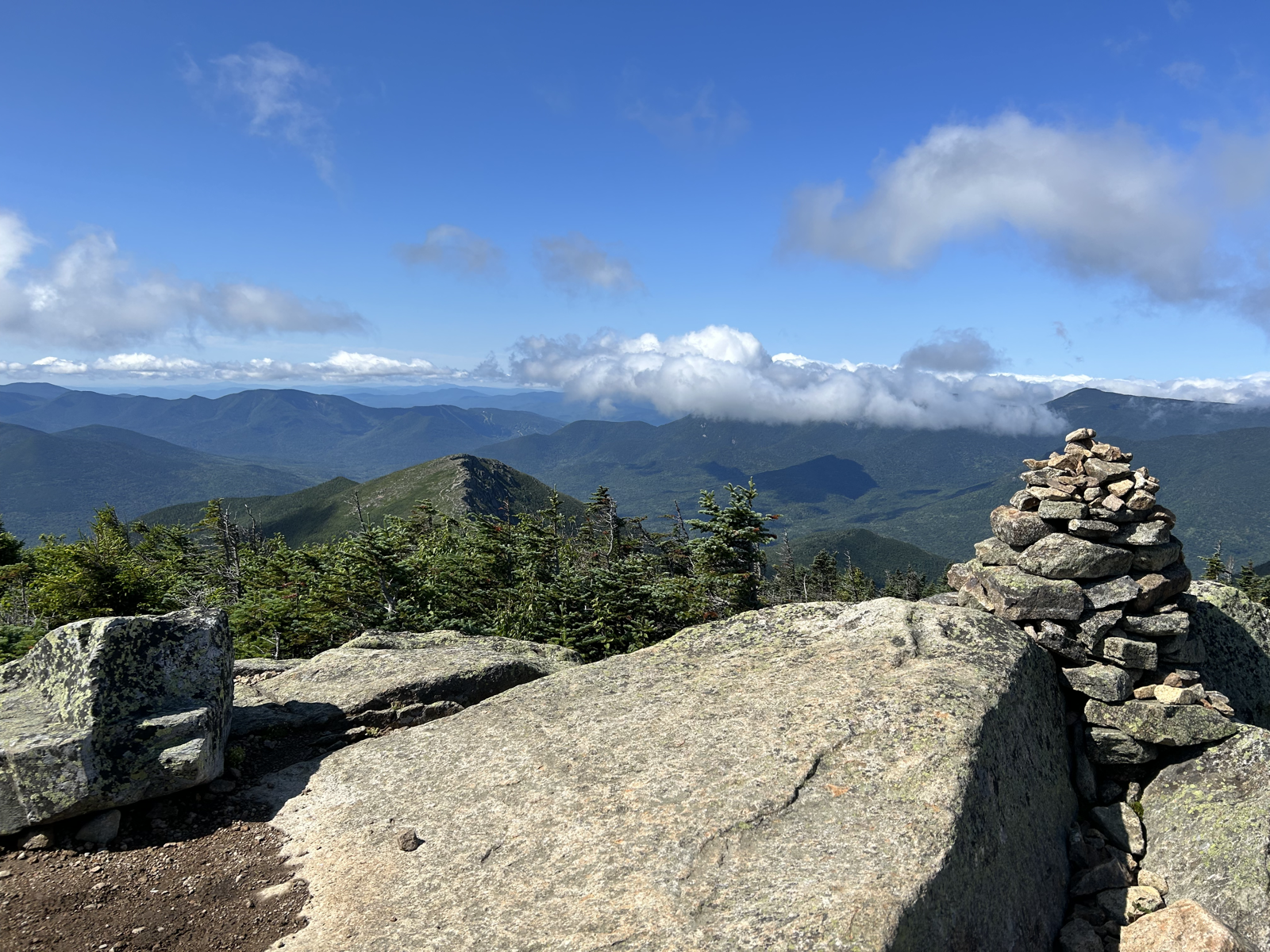

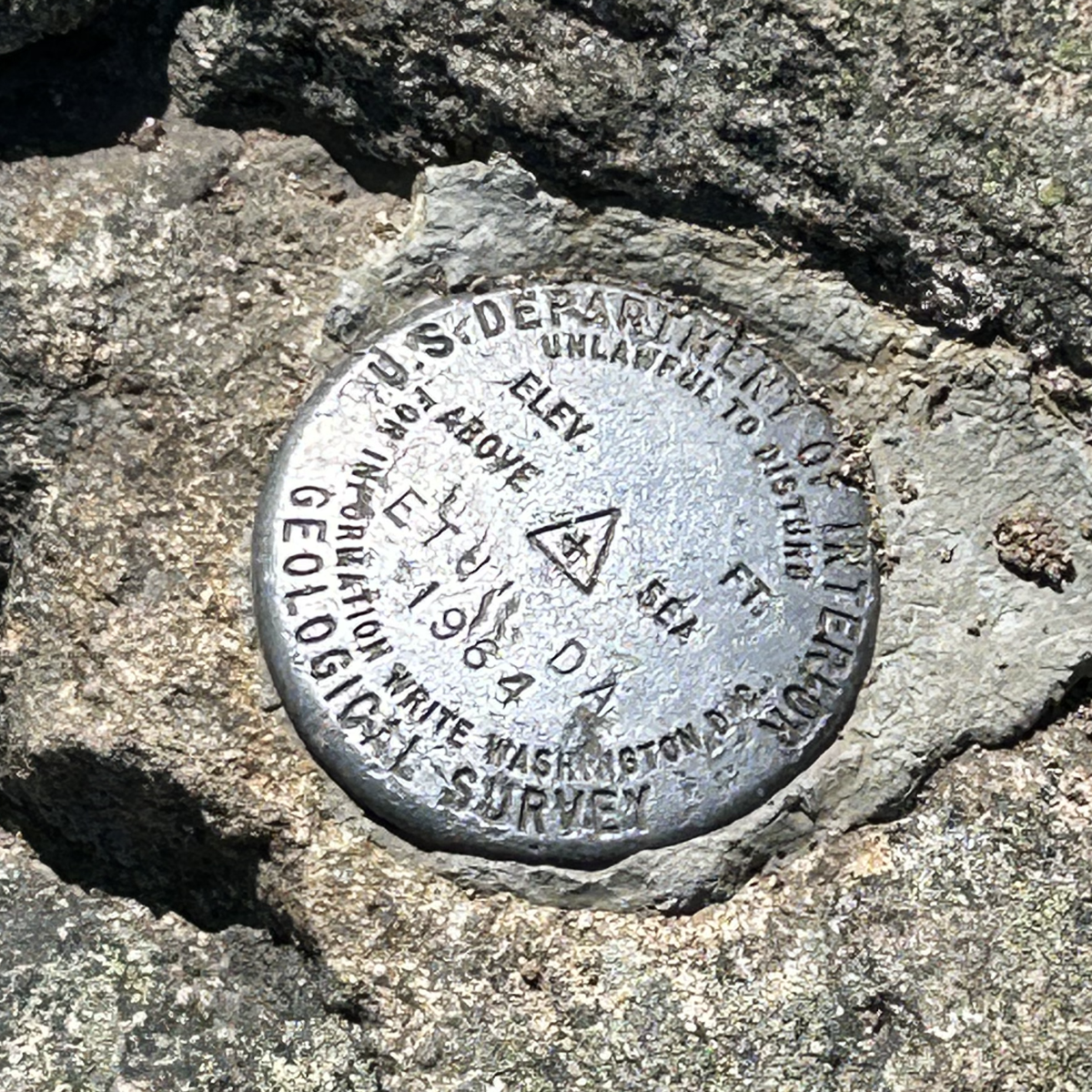
Upper left: Rainbow and I (photo credit Rainbow), middle: summit selfie, upper right: view from Bond cairn to Bondcliff, bottom left: the ridge trail to Bondcliff (see that little tiny sandy colored trail?), bottom right: survey marker
With the wind having died down mostly, and a better perspective on the trail (wider than it looked from West Bond), and really not wanting to go back the way we came, I felt better about continuing on to Bondcliff. Though it was still kind of scary.
Did I mention I’m afraid of heights?


Rainbow on the way to Bondcliff. Me on the way to Bondcliff (photo credit: Rainbow)

Left: Further along the ridge. Right: Looking back to Mt. Bond
And then we made it to Bondcliff (#41!)
Now there is a ledge that many people go on for an iconic Bondcliff photo. Did I mention I’m afraid of heights? Of course the wind picked up just as we got there. Rainbow walked out a little and came back. We put down our packs and had lunch. The wind died down and Rainbow went out there! It scared me just to WATCH people out there, no way I could do it. But you do get a really cool photo.

Rainbow being braver than I’ll ever be.
Left: Me, not even close to the same outcropping, but still too scared to move closer to the edge. Right: Bondcliff wraps around like a reverse J and this is the inside of the curve. Photo credit for both: Rainbow
My Bondcliff selfie closer to the official summit
Then it was time for the incredibly long descent. From the tent site to Bondcliff was 2.8 miles. We had 9 miles to go and about 3000 feet of elevation to descend.
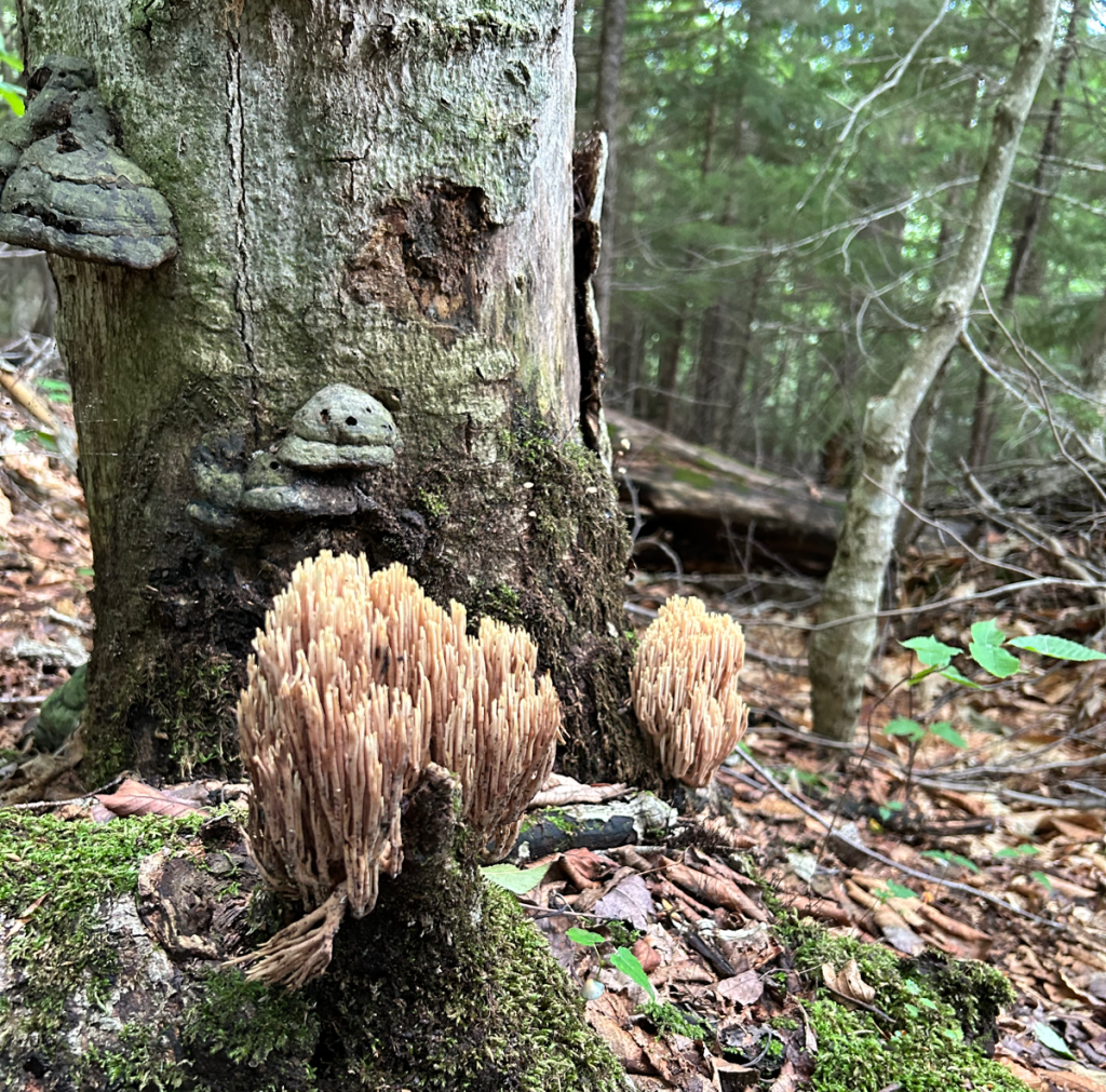
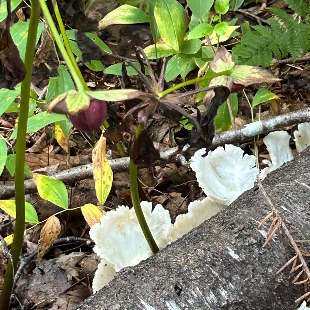
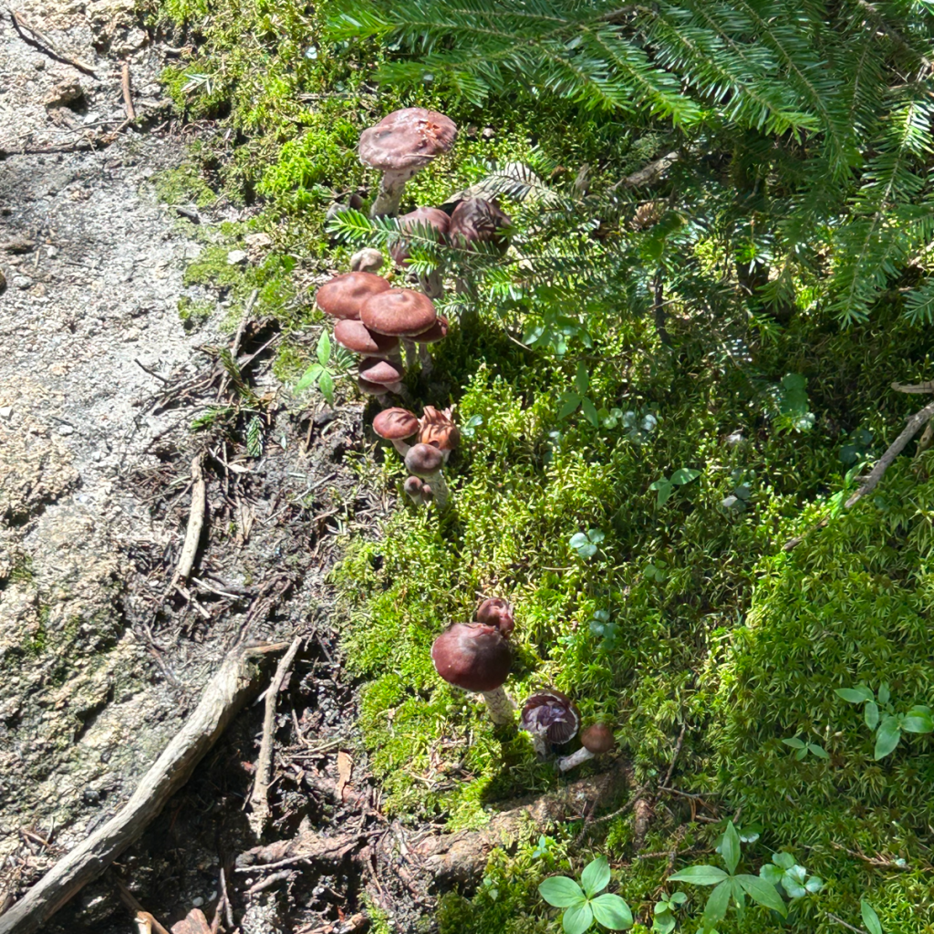
Let’s take a mushroom break!

At one point on the descent there was a granite slab that had water running down it. I’ve never seen this before, but someone had tied a rope to a tree at the top of the slab, so you could kind of rappel down the slab.
I was also worried about “Hillary’s step”, which is a short “chimney”. I had heard that there were steps and handholds, but we’d being going down, not up. While I went very slow, it was no trouble at all.

Several water crossings. All were manageable. At one of them we took a quick break and filtered an additional liter for each of us.


We got to the flat part on Bondcliff trail, an old logging railroad, complete with this metal rail, and much more annoyingly hundreds of rail ties (because you have to step over them).

Then we came to a bridge and the Lincoln Woods trail. The dreaded Lincoln Woods trail. 2.8 miles of flat, straight, exactly the same, boring miles of mud and railroad ties. When you’re exhausted and barely able to lift your feet. When you’re exhausted and your pack feels like it weighs 100 pounds. When you’ve come 16 miles and just want to sleep. On my last hike, I realized listening to a comedy audiobook and stuffing my face with sour patch kids helped with the hike out. Well, it helped for about an hour, unfortunately it would take another 45 minutes to get out.
Finally, 12 hours after we started that morning, we came out to Lincoln Woods. There, Rainbow’s parents were waiting to pick us up and take us back to my car. They were kind enough to say we didn’t smell bad AND bought us dinner. (Thank you, Rainbow’s parents!)
- Total distance: 19.5 miles
- Total elevation gain: 3,950 feet
- Total time: 36 hours
- Total hiking time: 21 hours, 30 minutes
- Moving time: 16 hours, 43 minutes

[…] two times before this. Once in winter, in order to summit Zealand Mountain, and once in summer, on our way to the Bonds. It’s a lovely trail that follows along and often crosses the Zealand […]
LikeLike