#43, #44 of the NH48 and #25 of the 52WAV
One more hike to make up for the peaks I’d missed on my bailed trip.
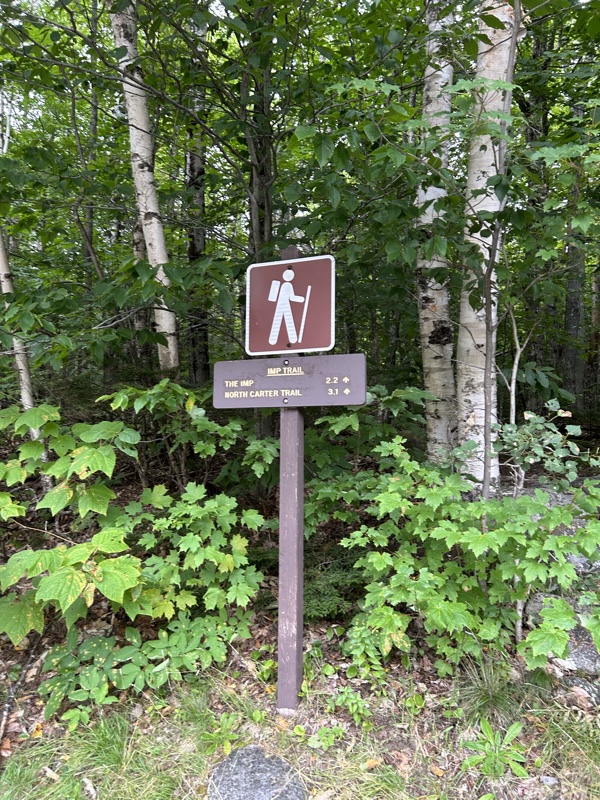
I was at the trailhead for the Imp Trail at 7:40 AM.
Just as you start, there’s a sign for the White Mountain National Forest Regulations.

“No marijuana on national forest regardless of state laws”. For some reason this cracked me up. It just doesn’t sound right. “No marijuana IN THE national forest” perhaps. Or “No marijuana on national forest LAND”? It was like a Chinese restaurant menu with “shrimps”.
I hiked up the trail and either I was the only one up the trail that day or the spiders were busy. I walked through so many spider webs, I expected to look like a cartoon ghost with visible webs hanging off of me.
Around the mile mark, you come to some lovely cascades along Imp Brook.


The trail begins to get much steeper here and rockier. At two miles, you pop out at the Imp Ledges.
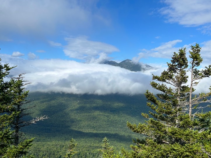
That is Adams and Madison visible above the clouds. The weather was perfect at this point in the day, sunny, but not too hot.

That’s Washington glowing through the clouds.


Imp Face selfie (#25 of the 52WAV) and breakfast of champions.
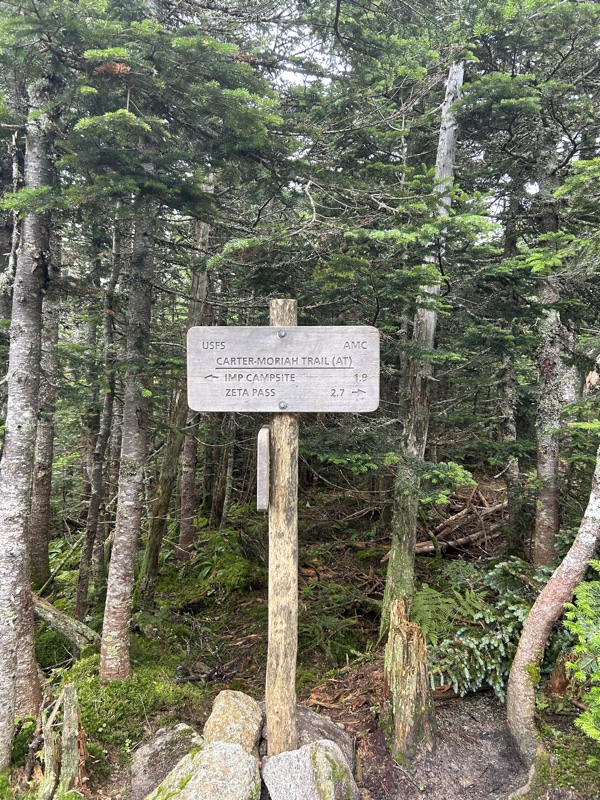
I continued on Imp trail to where it joins with the North Carter trail. I had two miles to go to the Carter-Moriah Trail. This part of the trail was very rocky and a lot of up this boulder, down that boulder. It’s annoying because you can’t get into a rhythm and just hike. The fog started to move in and when I finally got the Carter-Moriah Trail, I had to put on my rain poncho.
The four miles from my car to this sign, I saw only one other hiker. I had hoped to see more once I hit the AT. Just as I arrived at this sign, I saw a couple coming from the direction I was heading. I ended up seeing around 14 people all day. While I don’t like a crowded trail, as a solo hiker, I would have been happy to see a few more people over my eleven hours.
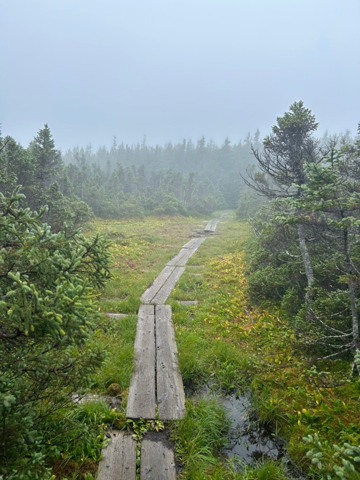
Frequently, here in New Hampshire we use “bog bridges” to go over mud. Here they were over actual bog! I was very careful not to fall in, as I wasn’t even halfway yet. You can also see in this photo how the weather had turned. As I mentioned, I had put on my rain poncho at this point. As with any hiking gear, there is a wide range of possible solutions, and everyone likes something different. I like those cheap, plastic rain ponchos like you get at Niagara Falls or Disney World. They are lightweight, cheap, easily replaceable, can fit over me AND my pack. Now I will say, often, I just get wet and don’t bother with it. But it was pretty wet out and I still had hours to go, so I put it on. Why wouldn’t you just put it on all the time, you ask. Well, it’s essentially a plastic bag with arm holes. I always panic partway through putting it on that I’m going to suffocate. And once it’s on, you almost sweat as much inside it as you would get wet outside of it. This time, the wet outside outweighed the wet inside, so I put it on.
Selfie on Middle Carter. Very…underwhelming. (Also note the condensation inside the poncho haha)

The views along the way.
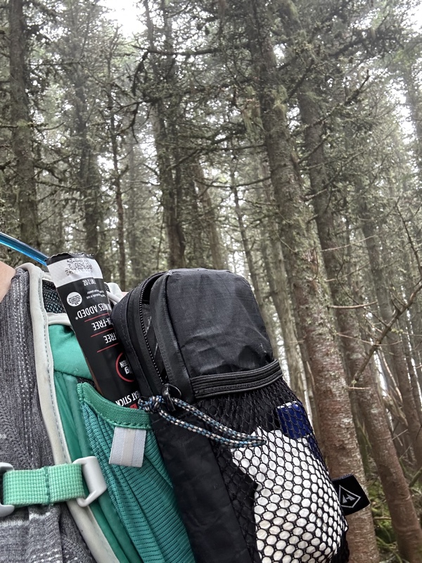
Thanks to my seizing up several hikes ago, I’ve been very careful to stop frequently. I’ll have water (with electrolytes) and snacks. Most of my snacks I keep in the top pocket of my pack, which means having to take off my pack to get them. Behold! I have discovered the meat stick pocket on my pack’s shoulder strap!
And just as I got to South Carter, the sun decided to shine for a moment.

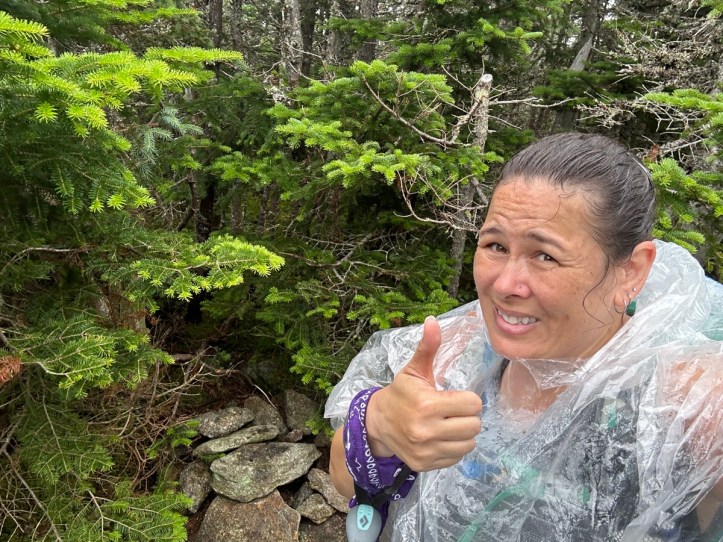
I’m very happy here. Partly because I’m now “caught up” to my plan to finish the 48 and most likely because the sun came out. And maybe a little bit because I’ve got that meat stick ready to eat at any time.
Unfortunately the sun went away and the rain came back, with a vengeance. I continued on to Zeta Pass and the Carter Dome Trail, which would take me to Nineteen-Mile Brook Trail. This was exactly the way I’d gone out on my last hike, which was nice, knowing what was ahead. At Zeta Pass, I threw in an airpod and listened to James Acaster’s “Classic Scrapes”, which was perfect to distract myself from a very rainy descent.
Since I’d done sort of a U-shaped hike, I’d need a ride back to my car. (Technically I could road walk the additional 1.5 miles, but why if I can get a ride?). I did my best guess of what time I would finish and told my son to meet me at the Nineteen Mile Brook Trailhead at 6:30. I got there at 6:20 and he arrived at 6:23. Perfect!
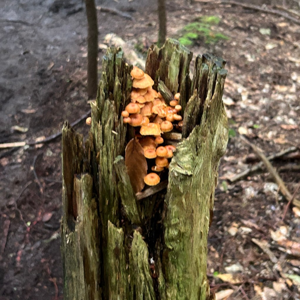
No hiking post is complete without a mushroom gallery

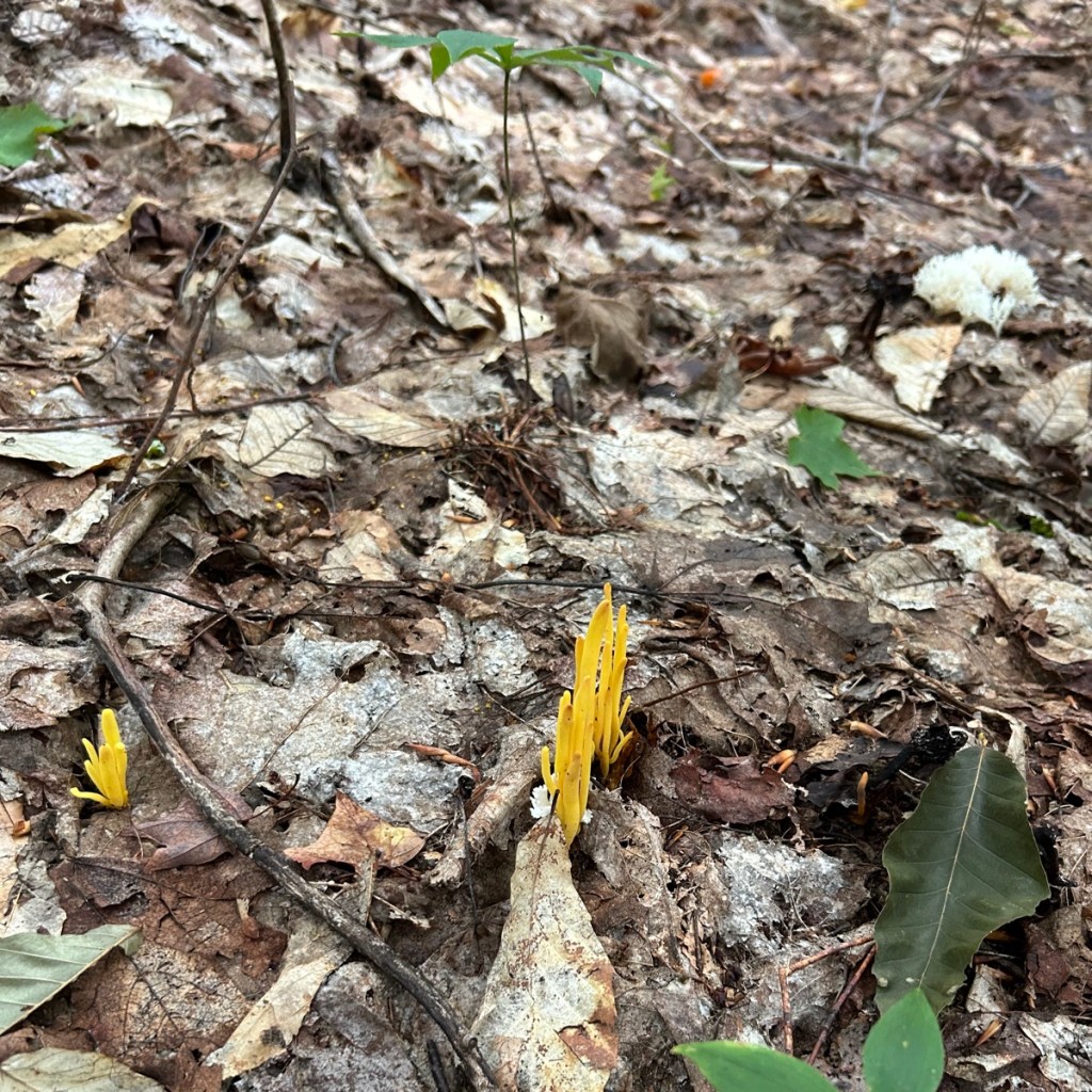
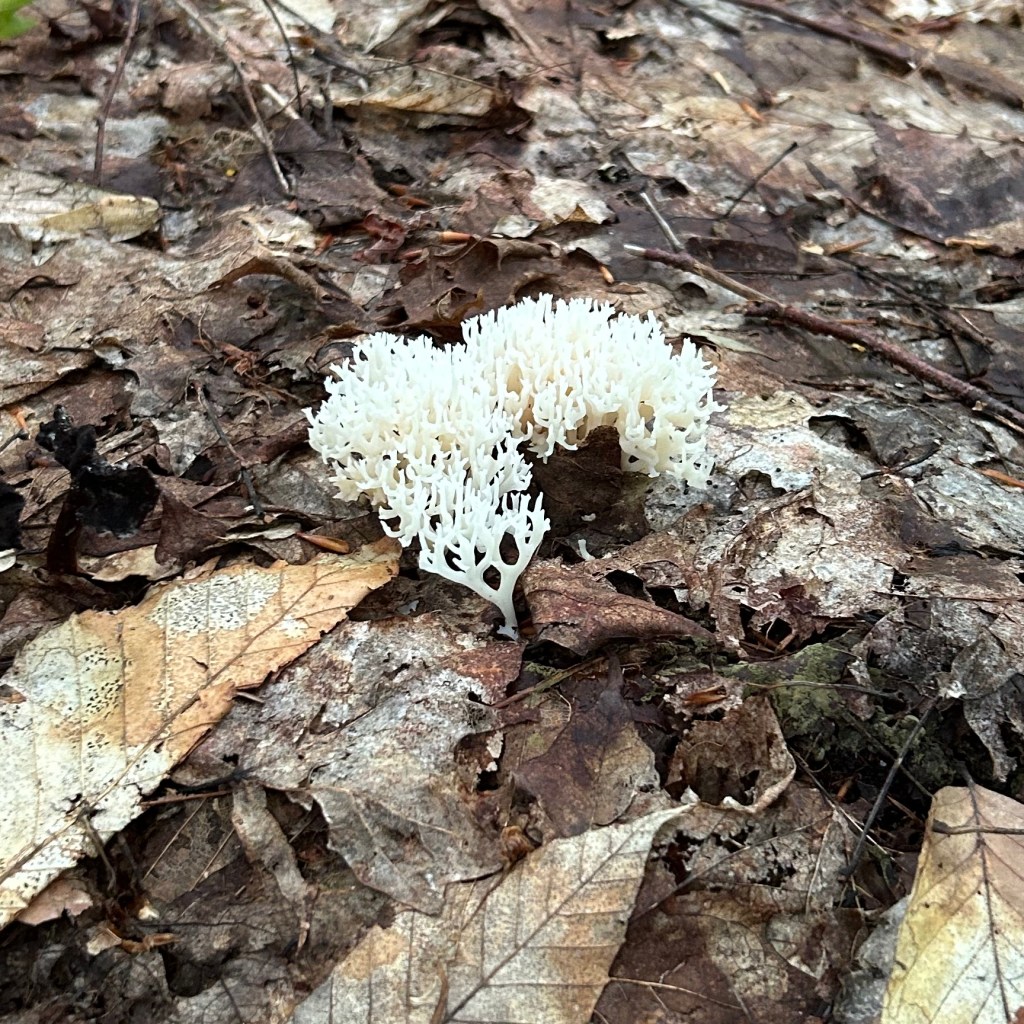
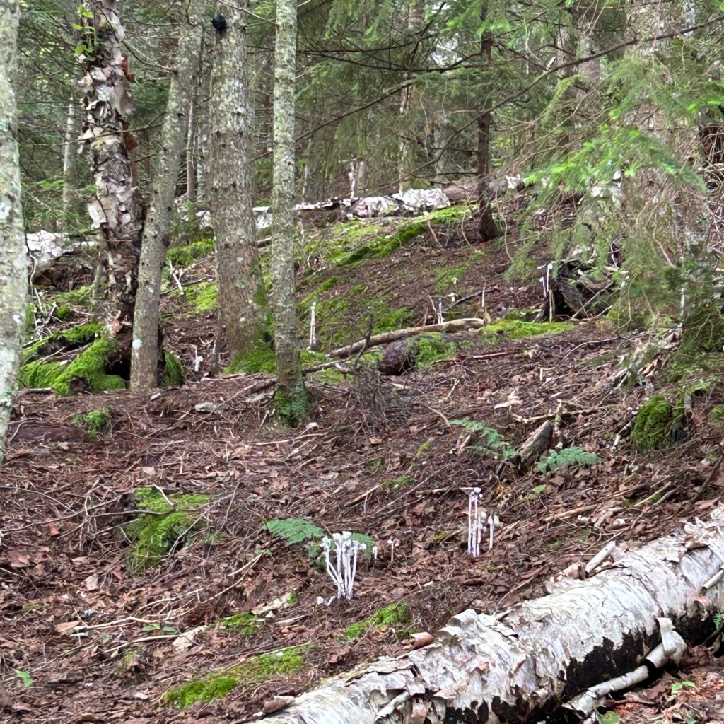
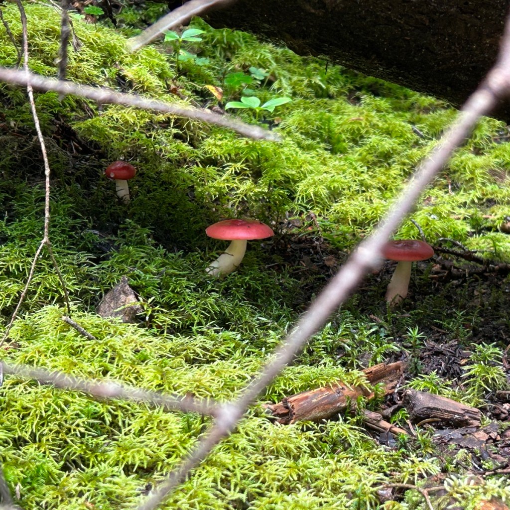
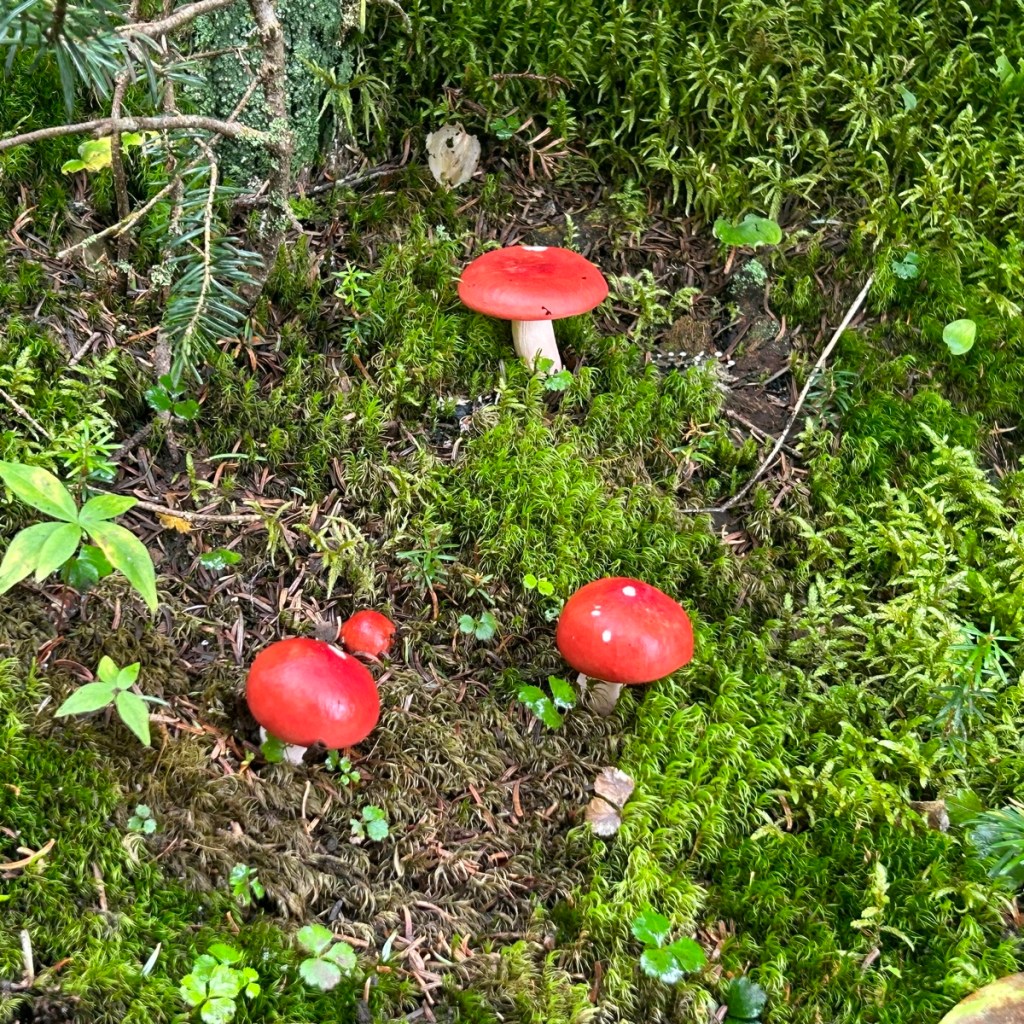
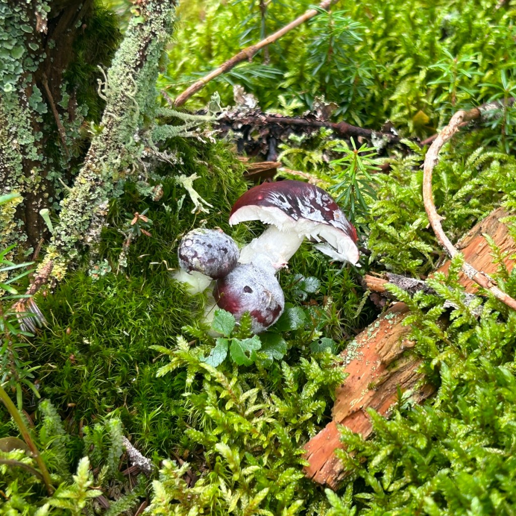
Obviously the upper left is not a mushroom. It’s a toad. Middle left is ghost pipe. I saw SO MUCH ghost pipe on this hike. It was everywhere. In this photo, any white vertical line is ghost pipe.
- Total distance: 10.8 miles
- Elevation gain: 3,750 feet
- Total time: 10 hours, 39 minutes
- Moving time: 9 hours, 32 minutes
