Subtitle: Gu-ffaw
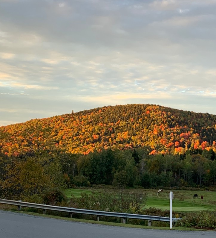
Rainbow and I had decided to hike the Kinsmans, two 4000-footer peaks, frequently “peakbagged” in a single hike. Rainbow had some remaining credit with AMC, so we decided to stay at the AMC Highland Center, about 30 minutes from the trailhead. We drove up Saturday afternoon, planning to arrive at the Highland Center in time for dinner. It’s the beginning of October, so we got a nice peek at the fall foliage. I say “peek” as a pun and also because it’s not quite peak foliage. In other words it should get even prettier than what we saw.
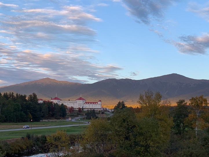
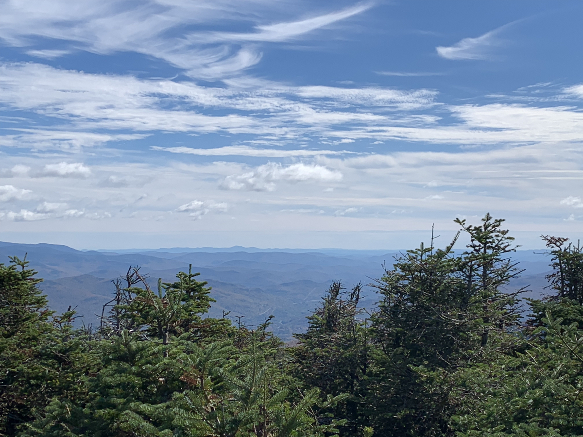
Just before we got to the Highland Center, we passed by the “scenic outlook” that looks over the valley at the Mount Washington Resort and Mount Washington. The sun was setting, so there was some golden hour effect, but also clouds that made parts of the mountains darker and dimmed some of the foliage vibrancy.
Shortly after we pulled up to the AMC Highland Center.
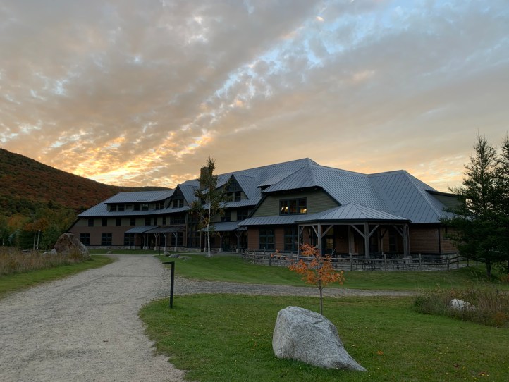
The AMC Highland Center is a bit of a hybrid between a high hut and a hotel. There are shared bunk rooms, similar to the high huts. But there are also more private rooms, like our queen room. It has shared bathrooms though, again similar to the huts. But there are showers and flush toilets! Dinner and breakfast are served buffet style. This was my second stay here. The first time I was in a bunk and this time in a queen room. Honest review, that queen bed was hard as a rock. Literally. During our hike, I laid down on a flat rock ledge and they felt the same. Somehow the bunk was actually more comfortable. But the food is good, the location is great, and it’s nice to be surrounded with like-minded people. The Highland Center also has a little shop of outdoorsy-related things (like hats, maps, limited gear, etc) and Rainbow and I each bought a book to read in the sitting area before bedtime.
Up the next morning at 6, to be ready for breakfast at 6:30 when it opened, with hopes of hitting the trailhead at 7:30. My original original plan was to get to the trailhead at 7, but breakfast sounded good, so we went with that. We wound up at the trailhead at 8. Not terrible, but (foreshadowing) 7 or 7:30 would have been better.
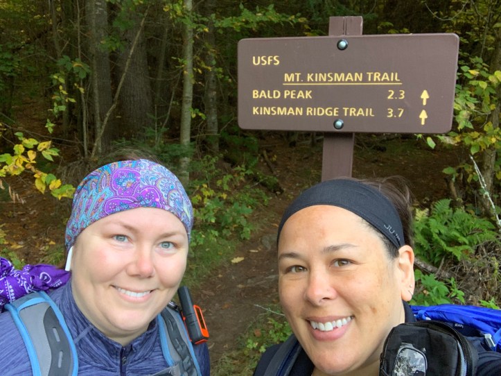
There are several approaches to the Kinsmans, the most common is up from Lafayette Campground, to Lonesome Lake, then up the Fishin Jimmy Trail. However, I’ve heard Fishin Jimmy referred to as “F’in Jimmy” too many times to want to take that trail. I also know it’s a lot of rock scrambles, which are my nemesis. My favorite All Trails review of Fishin Jimmy, “I would never recommend this trail to anyone”. So we were getting to the Kinsmans from the west side of the ridge (foreshadowing), via the Mt Kinsman Trail.
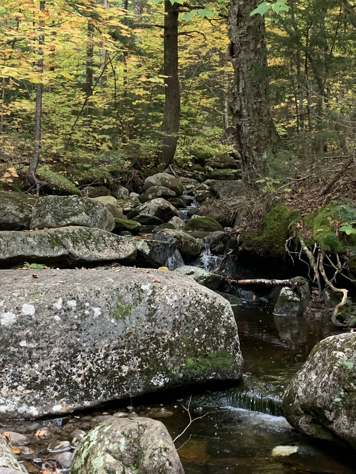
As with many White Mountain trails, this one started off pleasantly enough. We were making pretty good time (2-ish miles per hour). There were quite a few water crossings, but they were all easily crossed.

Lots of mushrooms and other flora along the way.
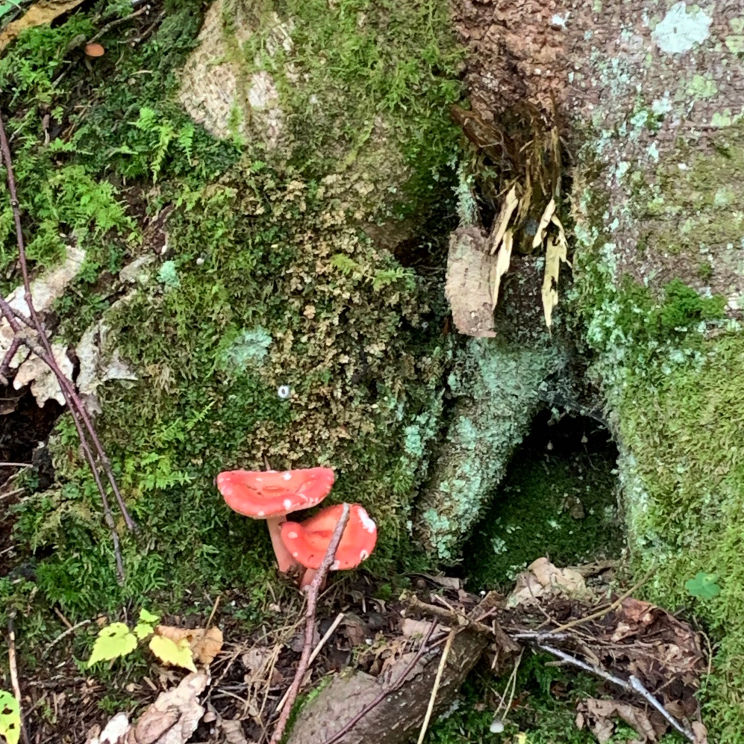
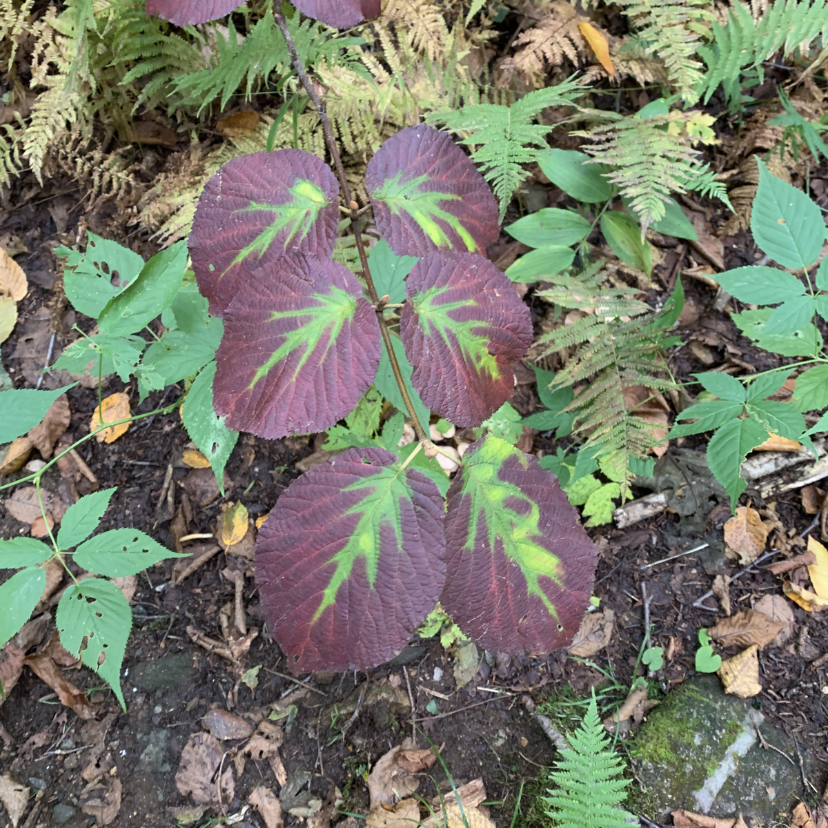
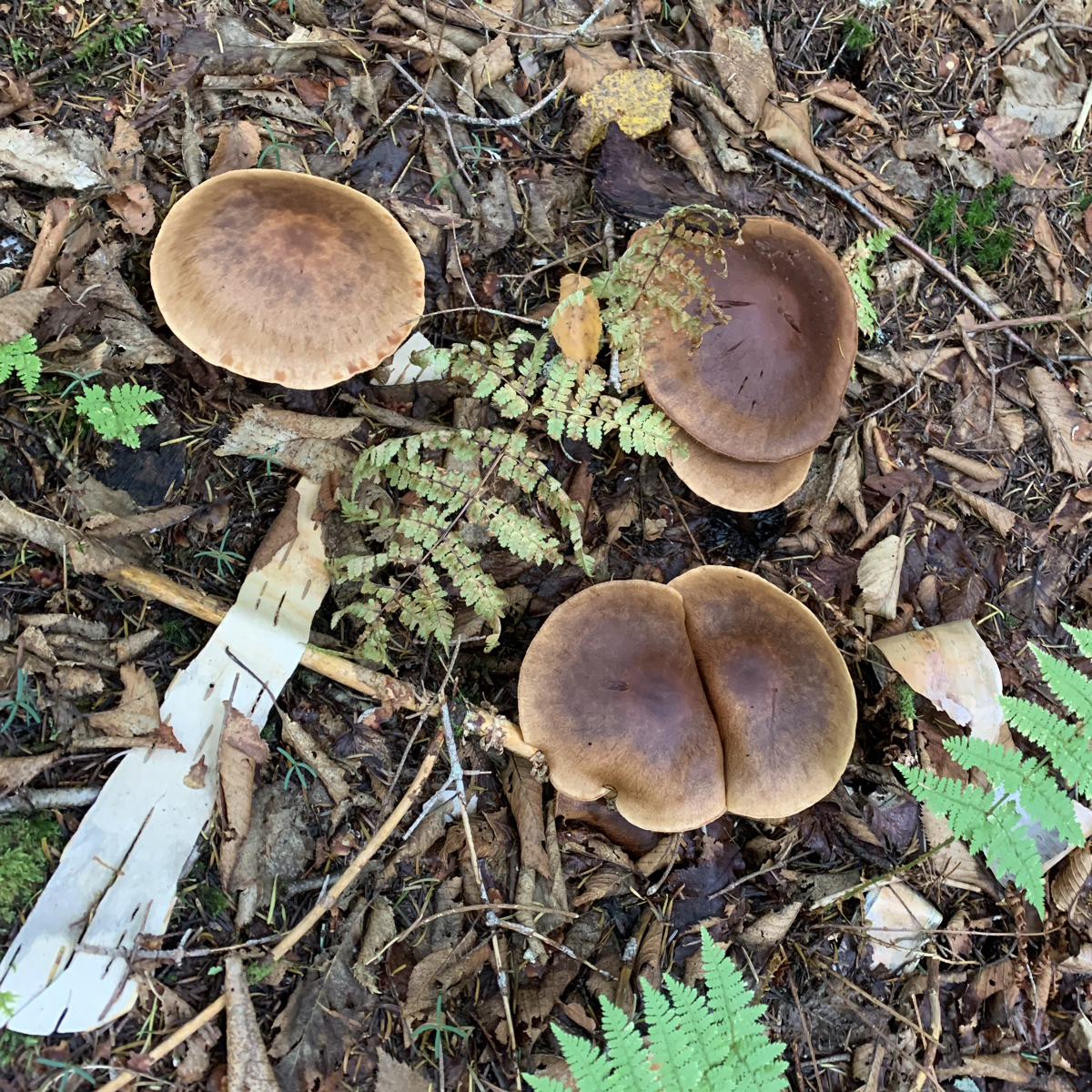
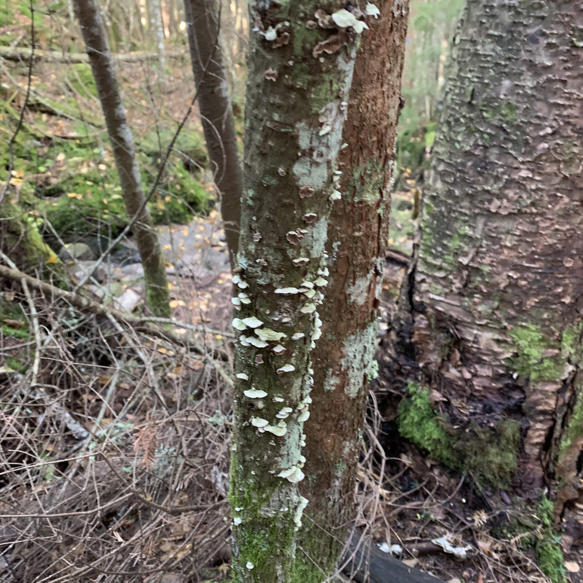
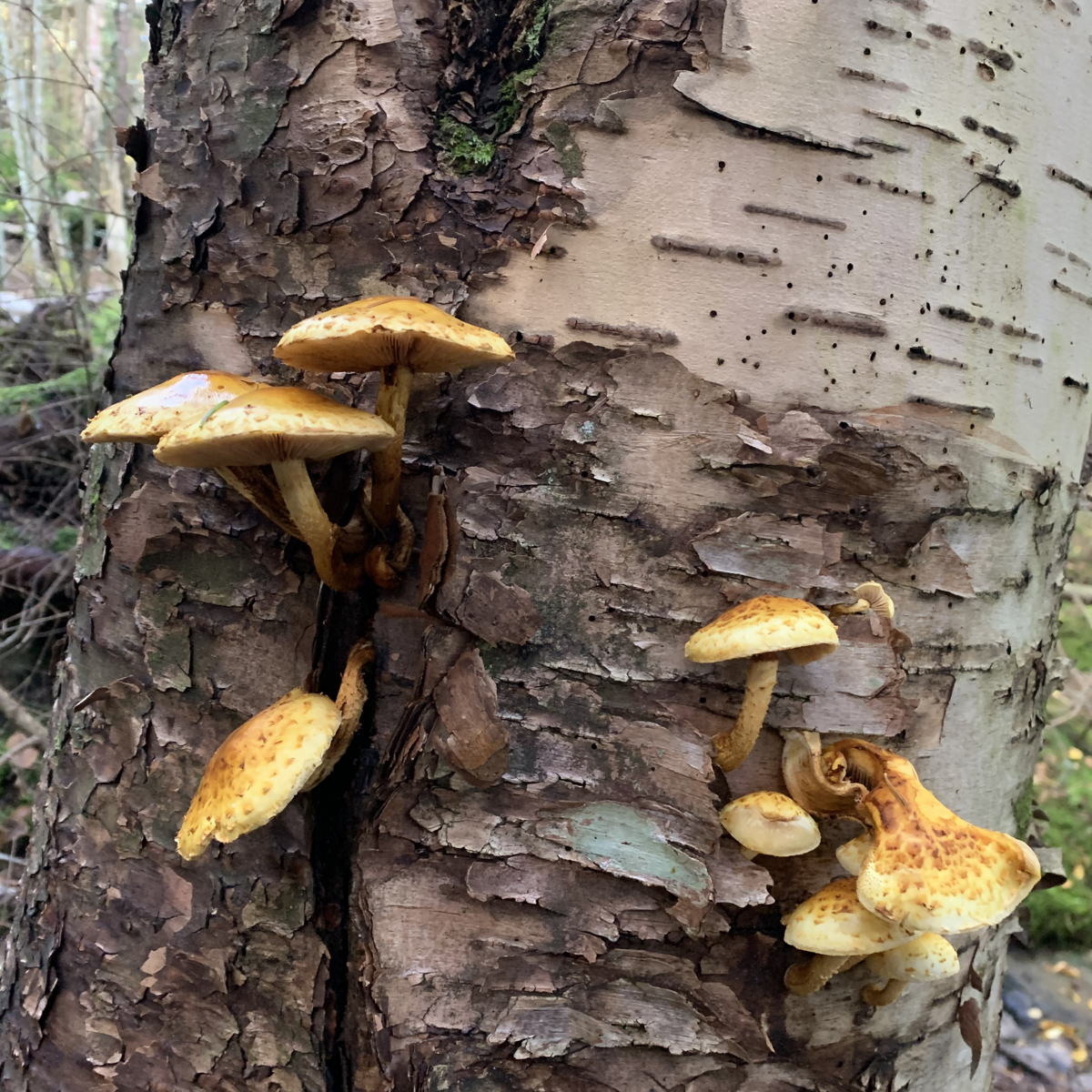
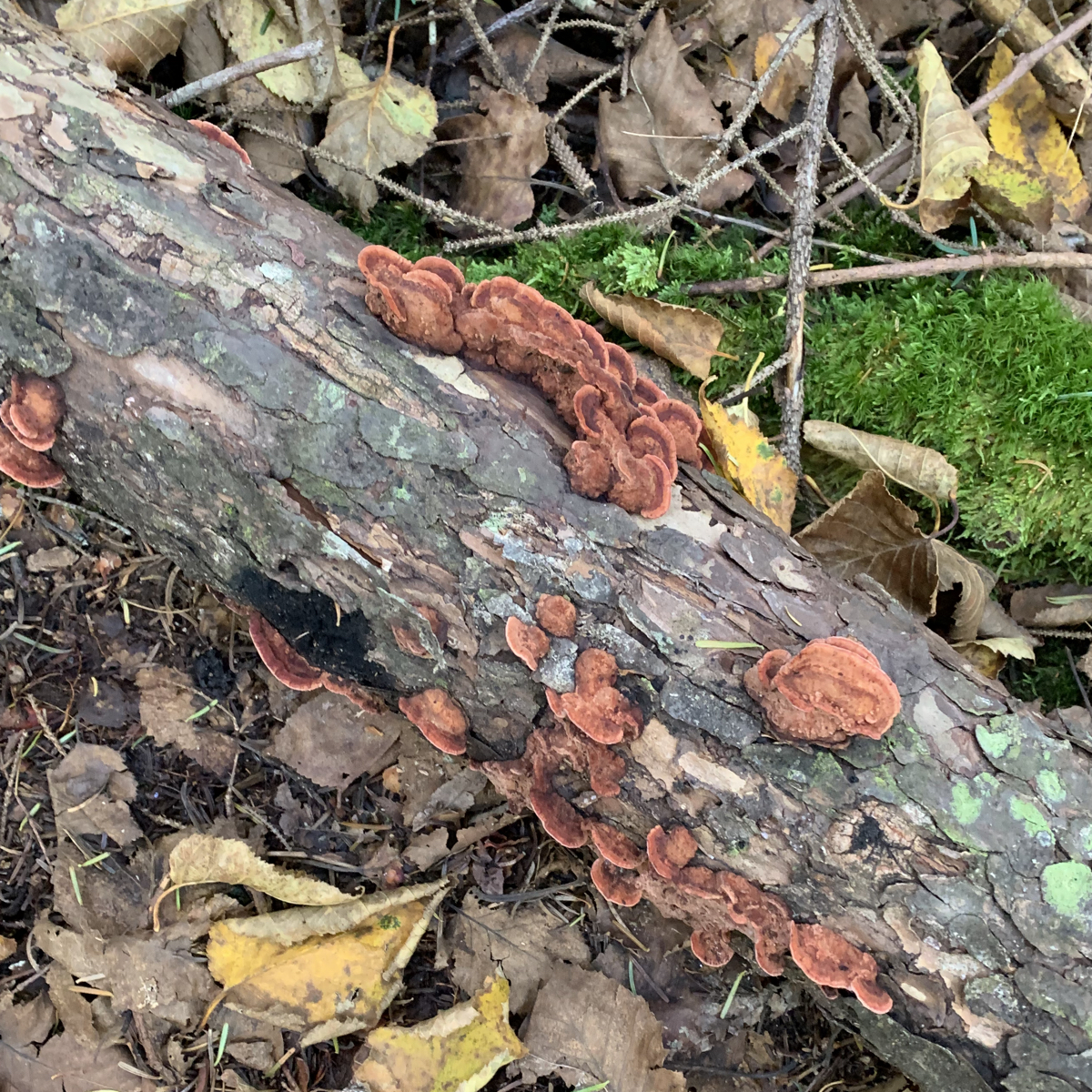
Upper left: Try and tell me that’s not the entrance to a fairy house. Upper middle: is hobble bush in the fall. I believe this is the same plant I (and others) have referred to as the toilet paper bush thanks to it’s very soft and large leaves. Upper right: not sure what the mushrooms are up to here, but it’s suspicious. Bottom left: just some very cute, very tiny mushrooms on a tree. Bottom middle: swoon. Bottom right: more tiny mushrooms.
The trail began to get steeper, and rockier, and rootier. As it always does in New Hampshire. I tend to make noises, sounds, and sometimes words (often curse words) when I hike. As I stepped up one particularly tall rock, I let out a “GUH”, then started to slip as I brought up my other leg which caused me to start a swear, “FAW” is what came out. Rainbow asked, “Did you just GUFFAW?”. Yes, yes I did.
Rainbow (who has been doing a bunch of solo hiking) was having some back pain and leg tightness. I also started to get a migraine. We were quite the pair. Needless to say, our progress slowed quite a bit. I began to think about timing and more specifically, a turn around time. Now that it’s fall, the amount of daylight is shorter. Sunset was at 6:30PM. When you’re surrounded by mountains and descending back to a trailhead, it can get dark before that. Some quick math, start at 8, wanting to be back to the car at 6, is ten hours, so we should turn around at 1PM. However, we had some leeway, as the beginning of the trail was very easy to navigate and hike, aka mostly flat without too many rocks. We both have head lamps, we’ve both hiked in the dark before. And if you’ll recall, we were taking the western side of the mountains, which should hopefully mean we’d have a bit more light, rather than a bit less. We could probably push the turn around to 2PM or so. On the flip side, we weren’t at our best, and if we continued to progress this slowly, not feeling great, we’d need to allow plenty of time to get back. We planned to stop at the junction of Mt Kinsman Trail and the Kinsman Ridge Trail, eat lunch, hit North Kinsman, and assess. If timing and how we felt were favorable, we’d get South Kinsman, if either of those were off, we’d skip it and head back.
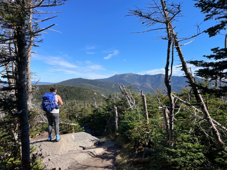
We made it to the junction and were happily surprised with a view. While we knew North Kinsman had a view point, you never know if the next lunch spot will be as good as where you are now, and so the phrase was born, “Never look a good lunch spot in the mouth”.
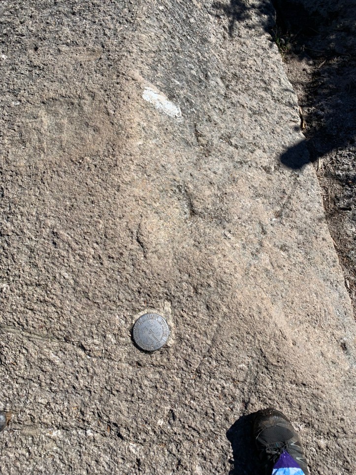
This is a photo of: a white blaze, a geological survey marker, and my foot. The white blaze is because the trail we would next be following was the Kinsman Ridge trail, which is also part of the Appalachian Trail. The geological survey marker is interesting because they’re typically on summits, not a random trail junction. However, I’ve noticed in the past, that they aren’t at the actual SUMMIT, aka highest point, on a peak, and I’ve always wondered why. With this one being no where near a summit, I had to google when I got home. Apparently, they’re often placed in a location with the best line of sight. My foot is in the photo because of absolutely no reason at all other than it was there.
As I said, we stopped for lunch here. And not really surprisingly, we both perked up quite a bit. As I’ve said in recent posts, keeping hydrated and fed is key for me on hikes. If I start to hate hiking, feed me. My migraine meds had kicked in also. The less relentless ascent probably helped Rainbow. And always, a view and knowing you’re near the summit is a huge mental help.
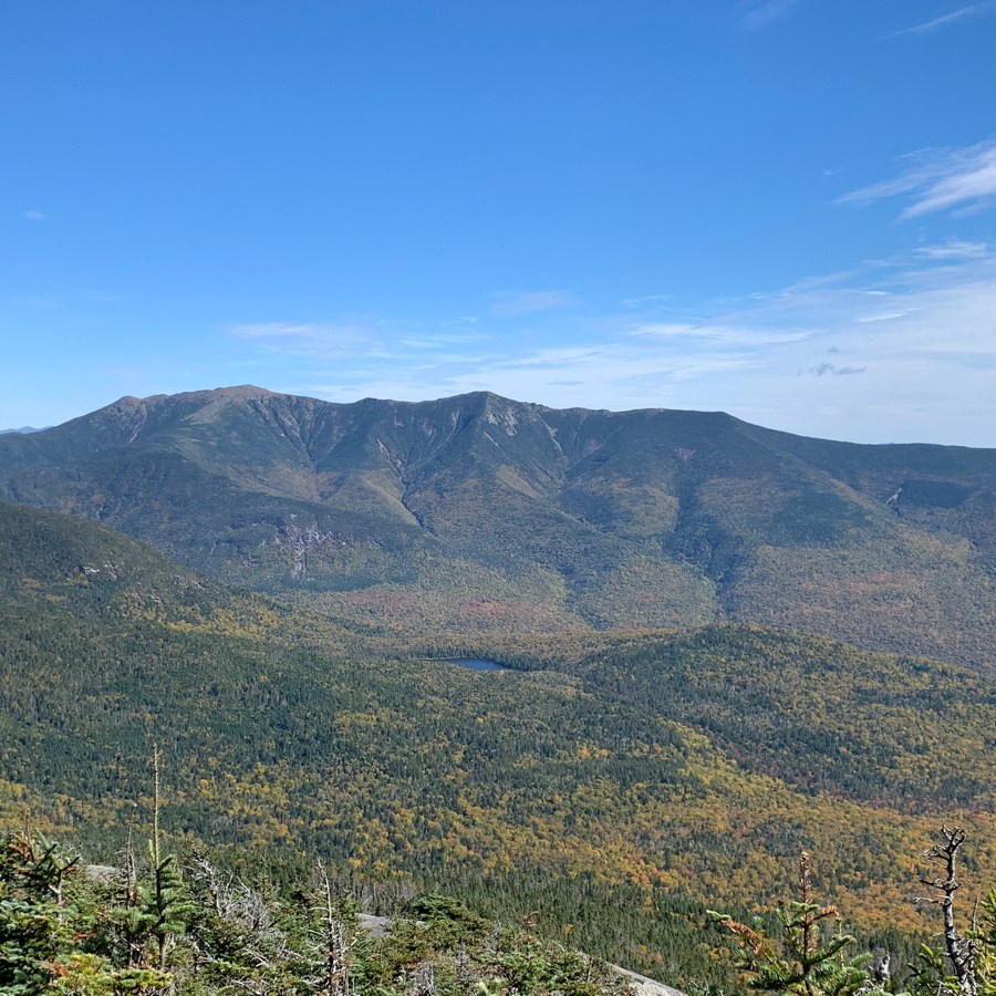
Rainbow took this pic of me looking at Franconia Ridge. There are at least four mountains I’ve climbed in this photo. If you follow the slope that begins above my head up and right, you can see a tiny tower on the peak in the “middle ground”. That’s Cannon. Then the big ridge in the background from left to right is Lafayette, Lincoln, and Little Haystack.
Not in the photo, but from the view, we could also see Liberty and Flume, which I’ve also hiked. It’s a very cool feeling to see mountains like that, that look so big, and know that you WALKED up them. It’s also cool that I can finally recognize and know some mountains without having to check my app.
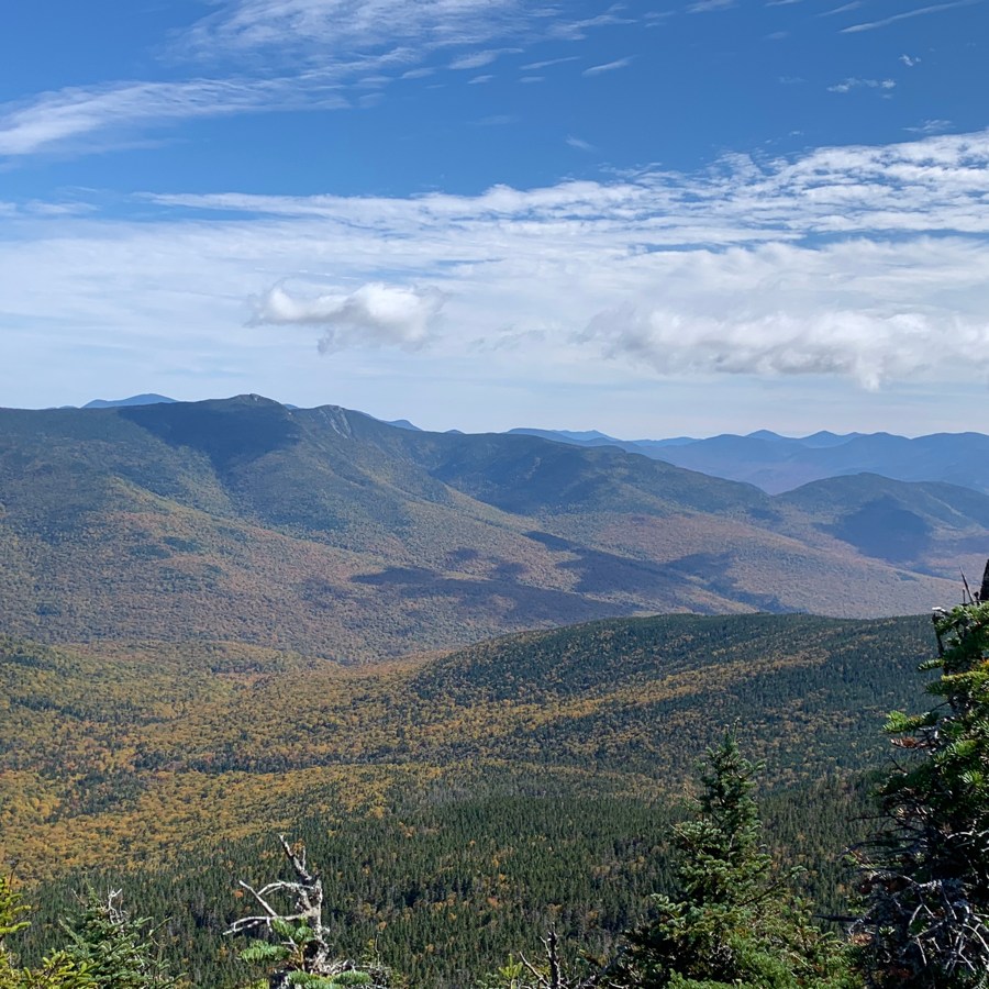
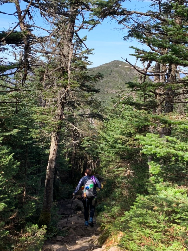
Our work was not done. Time to summit some mountains (or maybe one mountain, TBD)! Photos never do the steepness of the trail justice, but here is the view up (toward North Kinsmans) and down (to our lunch spot).

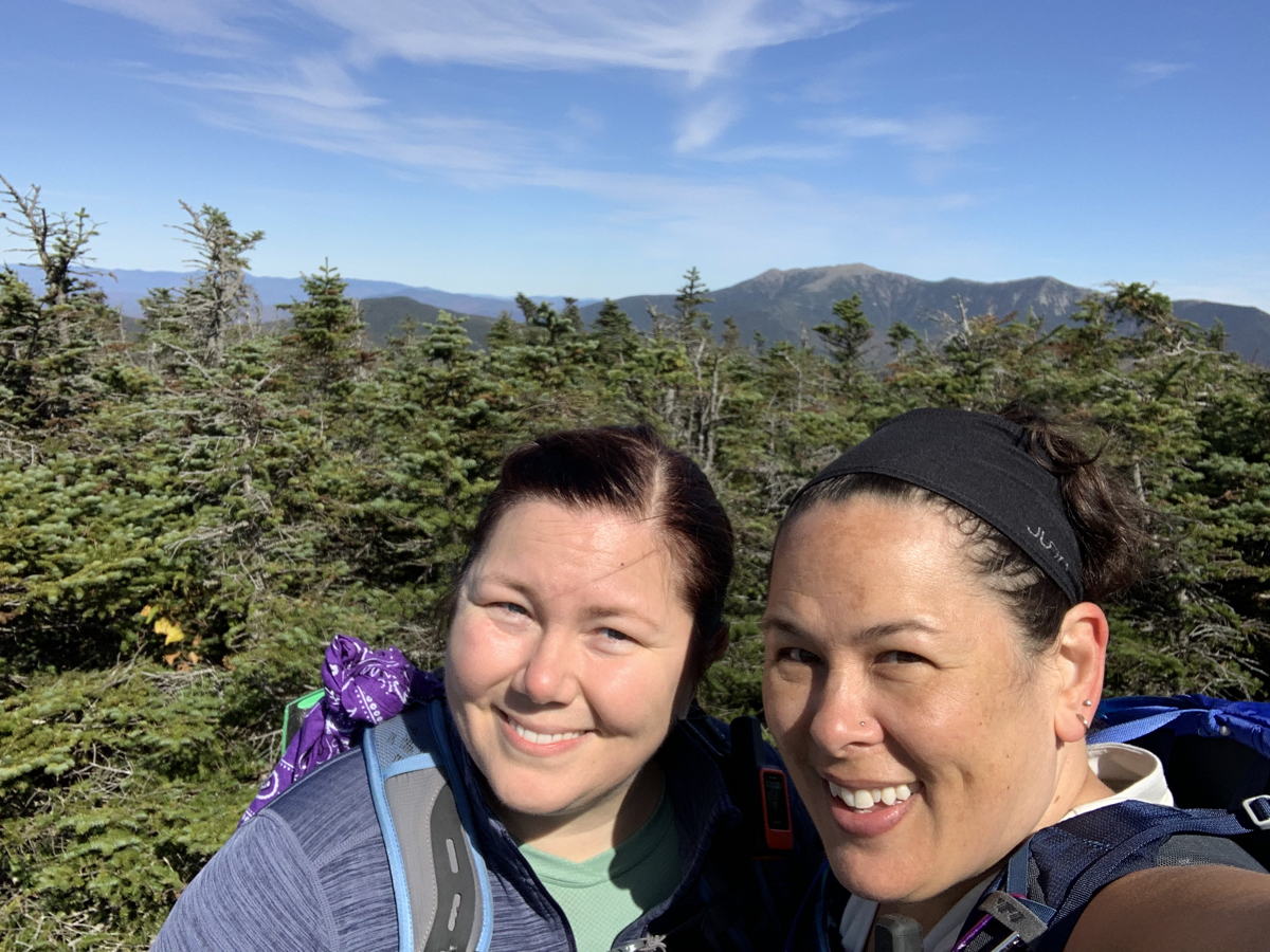
We made it to North Kinsman (#29!) and took in the view. Similar to the one at the junction, but more open and with a little ledge (another great lunch spot!).
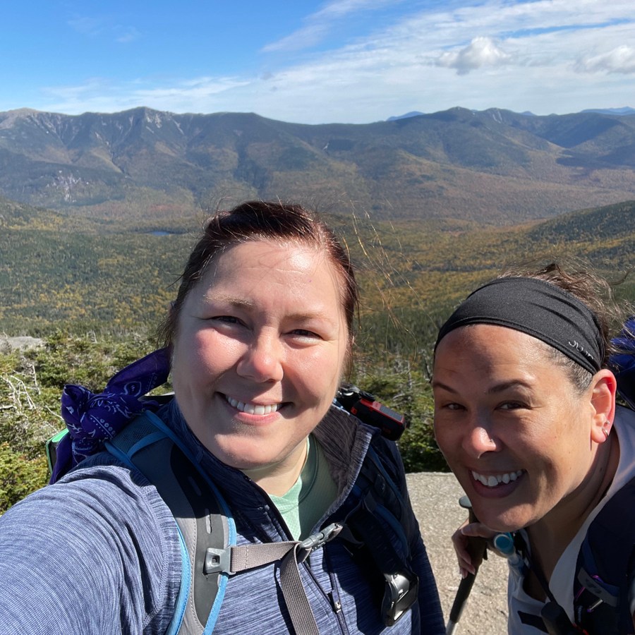
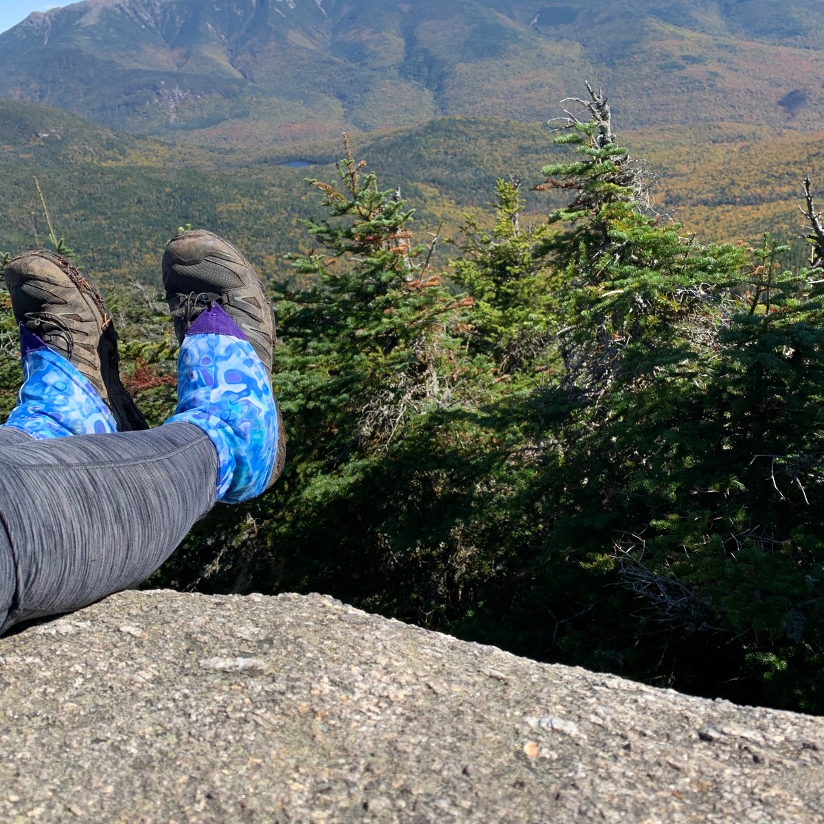
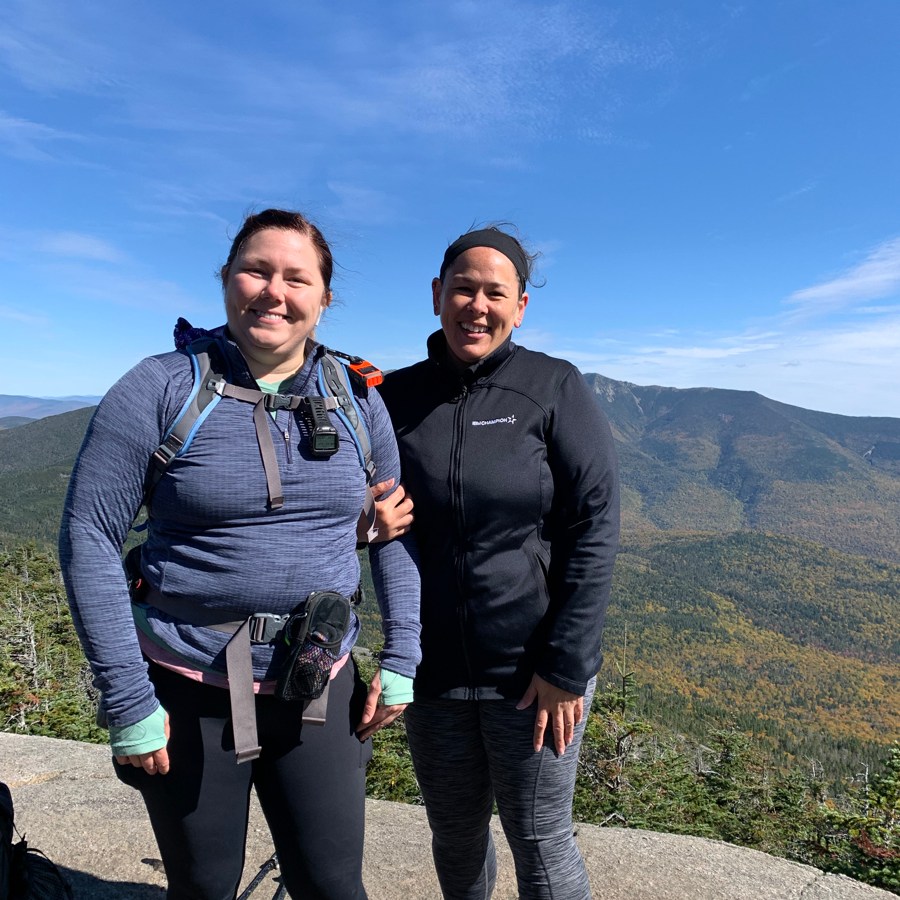
Upper left-to-right: summit selfie of me and Rainbow (photo credit: Rainbow), me sitting “dangerously” on the edge of the ledge (it was only a 6ft drop down to another ledge), me holding onto Rainbow as we stand dangerously close to the edge (not dangerously close, I’m just a chicken shit).
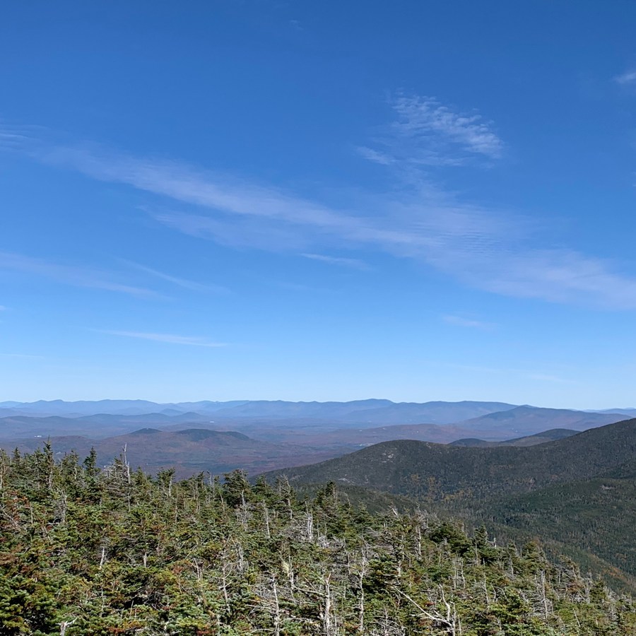
Lower left-to-right (and almost stitched together would be the view itself): part of the view (with Cannon on the far right of that image), Franconia Ridge again, the rest of the ridge and Liberty and Flume. Flume has the U-shaped marks at the top, that’s the Flume slide.
At this point, I should probably mention the weather. Early October in New Hampshire, and specifically on top of the mountains, can be a crap shoot. The weather forecast was for 50s at the base with clouds and 30s for the summits, with full clouds. I waffled on what to wear and what to bring, but ended up in a sleeveless shirt with regular leggings (as opposed to lined leggings) and a merino wool long-sleeve in my pack. I also had a jacket, puffy, hat, and gloves. As you can see from the photos, the clouds did not come out. Temps were delightful and perfect for hiking. I was comfortable in my sleeveless shirt, only throwing on a layer when we stopped for snacks or lunch.
It was 12:30 PM, and we were feeling much better than we had before the junction. South Kinsman was “only” 0.8 miles away, and we knew we could hike out in the dark if needed. So onward to South Kinsman!
Of course, for two nearby 4000 footers to each count, they have to of course be above 4000 feet and also must have 200 feet of prominence. What does that mean for us? Since both Kinsmans “count”, they’re gonna be separated by a col. In this case, the col drops about 400 feet and then ascends 400 feet over that 0.8 miles between summits. The 400 foot drop was largely on granite slabs, which are not my favorite, but these weren’t bad. They were short slabs with trees and “landing spots” for the most part. So even if I slipped, I’d probably hurt my knee but stop ten feet away. Rather than the scary slabs where you’d slip and fall to your death.

The 400 feet up to South Kinsman was typical 4000-footer grind trail. aka rocks and roots and steep. We got to the summit just before 2PM. This was #30 for me out of the 48. 30 feels really good, like I’m close!
I had read there isn’t a view at South Kinsman, so I was happy to see there actually was, though you’d likely have to be about 6 feet taller than me to really appreciate it. We took in the view as it was and left.
I mentioned earlier that it is cool to see peaks you’ve summited before. Well, it’s also cool to see where you’ve come from on a hike. In this case, we we had come from and where we were headed were the same as we had to re-summit North Kinsman to get to our return trail.
Up and over North Kinsman then back to the junction for a quick snack. We had run into a fellow hiker at the junction earlier. Then, he had asked if we had stopped at Bald Peak, an offshoot trail from the trail we had taken up. No, we hadn’t. He said it was really cool, we should check it out. Knowing we’d be trying to beat the sun I didn’t think we’d be going there this trip. We saw him on North, and again on South, and later at the junction again. This time he asked if we’d gone to the view past South. We groaned, no, we hadn’t. I had read (and had even written on my trail card) that there was a great view, not far from South Kinsman. We both had completely forgotten about that while we were there. He said it was great. 360 degree views. Well, save that for next time, along with Bald Peak.
Now began the long trudge back to the car. 3.7 miles. We knew the end mile and a half or so would be good terrain, but possibly dark. While the first 2 miles would be a steep and rocky descent. On already exhausted legs.
At one point, I took a bad step and let out a slew of curse words. Rainbow without missing a beat, “do you want to stop for a snack?”. She gets me.
My walking style went from plodding to lumbering to drunk clown to hobbling. Somewhere around lumbering, I missed a step and stumbled, and missed, and stumbled, and stepped and somehow miraculously landed standing straight up.
We could see the sun getting closer to setting, though we could still see quite well even through the trees. We made it across all the water crossings and knew it should be a fairly easy out from there. It continued to dim, though as I alluded to earlier, I think being on the west side of the range was really helpful. We got to the trailhead after sunset and could still see. Though I did stop to get out my headlamp, it wasn’t really doing anything and Rainbow didn’t yet need hers.
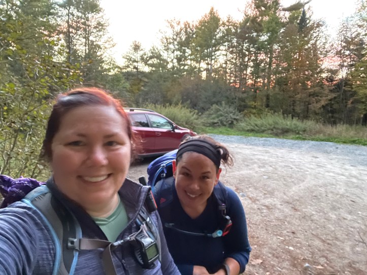
A very long, tiring day, hence crazy hair and a slightly blurry end of hike selfie
- Distance: 10 miles
- Elevation gain: 3,950 feet
- Total time: 10 hours, 59 minutes
- Moving time: 8 hours, 49 minutes

I am always so impressed by your commitment & your humour 😂
LikeLike